13632 W 161st St S Sapulpa, OK 74066
Estimated Value: $373,000 - $441,811
3
Beds
2
Baths
2,292
Sq Ft
$176/Sq Ft
Est. Value
About This Home
This home is located at 13632 W 161st St S, Sapulpa, OK 74066 and is currently estimated at $402,604, approximately $175 per square foot. 13632 W 161st St S is a home located in Creek County with nearby schools including Lone Star Public School.
Ownership History
Date
Name
Owned For
Owner Type
Purchase Details
Closed on
Aug 31, 2024
Sold by
Dean Skaggs And Verda Skaggs Living Trus and Skaggs Bowie Wayne
Bought by
Skaggs Joshua Dean Cody
Current Estimated Value
Purchase Details
Closed on
Jul 2, 2015
Sold by
The Dean Skaggs And Verda Skaggs Living
Bought by
The Dean Skaggs And Verda Skaggs Living
Create a Home Valuation Report for This Property
The Home Valuation Report is an in-depth analysis detailing your home's value as well as a comparison with similar homes in the area
Home Values in the Area
Average Home Value in this Area
Purchase History
| Date | Buyer | Sale Price | Title Company |
|---|---|---|---|
| Skaggs Joshua Dean Cody | -- | None Listed On Document | |
| Skaggs Bowie Wayne | -- | None Listed On Document | |
| Bowers Tairryn | -- | None Listed On Document | |
| The Dean Skaggs And Verda Skaggs Living | -- | None Available |
Source: Public Records
Tax History Compared to Growth
Tax History
| Year | Tax Paid | Tax Assessment Tax Assessment Total Assessment is a certain percentage of the fair market value that is determined by local assessors to be the total taxable value of land and additions on the property. | Land | Improvement |
|---|---|---|---|---|
| 2024 | $2,896 | $33,066 | $3,612 | $29,454 |
| 2023 | $2,896 | $31,491 | $3,612 | $27,879 |
| 2022 | $2,730 | $29,991 | $3,612 | $26,379 |
| 2021 | $2,604 | $28,563 | $3,612 | $24,951 |
| 2020 | $3,288 | $29,746 | $3,612 | $26,134 |
| 2019 | $2,869 | $30,885 | $3,612 | $27,273 |
| 2018 | $2,918 | $31,093 | $3,612 | $27,481 |
| 2017 | $2,967 | $31,093 | $3,612 | $27,481 |
| 2015 | -- | $900 | $900 | $0 |
| 2014 | -- | $8,793 | $2,861 | $5,932 |
Source: Public Records
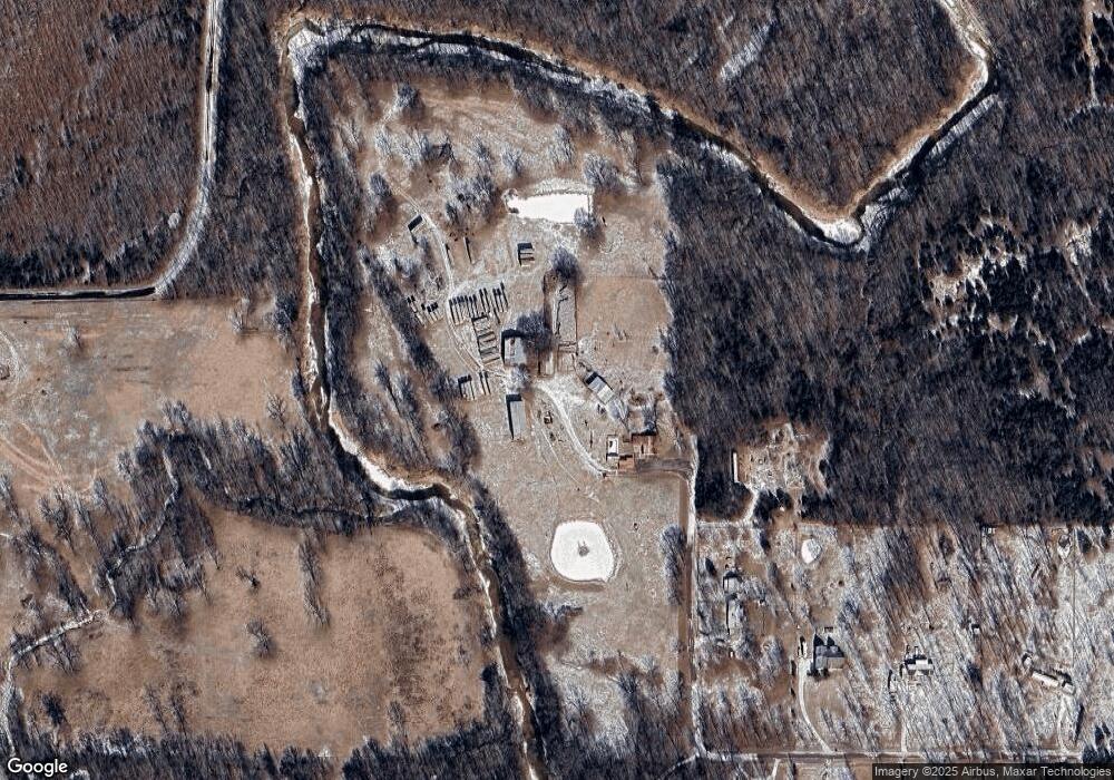
Map
Nearby Homes
- 0 W 161st St S Unit 2540488
- 114 W 165th St S
- 115 W 165th St S
- 125 W 165th St S
- 13900 W 146th St S
- 17421 S 145th West Ave
- 15969 S Main St
- 16042 S 97th West Ave
- 16739 Maple Dr
- 16953 S Maple Dr
- 17570 S Maple Dr
- 11967 W 186th St S
- 000 Maplewood Dr
- 0 Maplewood Dr
- 18321 S 103rd West Ave
- 15116 S 90th West Ave
- 9352 W 176th St S
- 8850 W 151st St S
- 9467 W 181st St S
- 416 W Fairlane Dr Unit A-B
- 16170 Lone Star Rd
- 16355 S 129th West Ave
- 13275 W 165th St S
- 13016 W 165th St S
- 16430 Lone Star Rd
- 13002 W 165th St S
- 16521 S 129th West Ave
- 13150 W 165th St S
- 16531 Lone Star Rd
- 16616 Lone Star Rd
- 15974 Lone Star Rd
- 16720 Lone Star Rd
- 13649 W 161st St S
- 13601 W 168th Place S
- 15674 Lone Star Rd
- 12116 W 165th St S
- 13389 W 168th Place S
- 16272 S 120th West Ave
- 16358 S 120th West Ave