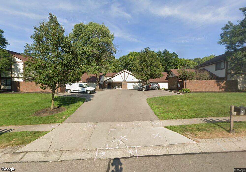
1364 Black Forest Dr Unit 330 Dayton, OH 45449
Estimated Value: $131,390 - $142,000
2
Beds
2
Baths
1,179
Sq Ft
$116/Sq Ft
Est. Value
About This Home
This home is located at 1364 Black Forest Dr Unit 330, Dayton, OH 45449 and is currently estimated at $136,598, approximately $115 per square foot. 1364 Black Forest Dr Unit 330 is a home located in Montgomery County with nearby schools including West Carrollton High School and Bethel Baptist School.
Ownership History
Date
Name
Owned For
Owner Type
Purchase Details
Closed on
May 13, 2019
Sold by
Coy Steven S and Coy Denise L
Bought by
Isble Randy G
Current Estimated Value
Purchase Details
Closed on
Dec 26, 2018
Sold by
Estate Of Thomas K Borton
Bought by
Coy Steven S and Coy Denise L
Purchase Details
Closed on
Oct 17, 1998
Sold by
Mackin Kathleen J
Bought by
Borton Thomas K
Create a Home Valuation Report for This Property
The Home Valuation Report is an in-depth analysis detailing your home's value as well as a comparison with similar homes in the area
Home Values in the Area
Average Home Value in this Area
Purchase History
| Date | Buyer | Sale Price | Title Company |
|---|---|---|---|
| Isble Randy G | $69,000 | First Ohio Title Insurance | |
| Coy Steven S | -- | None Available | |
| Borton Thomas K | $78,000 | -- | |
| Borton Thomas K | $78,000 | -- |
Source: Public Records
Tax History Compared to Growth
Tax History
| Year | Tax Paid | Tax Assessment Tax Assessment Total Assessment is a certain percentage of the fair market value that is determined by local assessors to be the total taxable value of land and additions on the property. | Land | Improvement |
|---|---|---|---|---|
| 2024 | $2,108 | $34,750 | $4,120 | $30,630 |
| 2023 | $2,108 | $34,750 | $4,120 | $30,630 |
| 2022 | $1,793 | $23,080 | $2,730 | $20,350 |
| 2021 | $1,796 | $23,080 | $2,730 | $20,350 |
| 2020 | $1,793 | $23,080 | $2,730 | $20,350 |
| 2019 | $1,705 | $20,230 | $4,200 | $16,030 |
| 2018 | $1,596 | $20,230 | $4,200 | $16,030 |
| 2017 | $1,585 | $20,230 | $4,200 | $16,030 |
| 2016 | $1,738 | $21,710 | $4,200 | $17,510 |
| 2015 | $1,595 | $21,710 | $4,200 | $17,510 |
| 2014 | $1,595 | $21,710 | $4,200 | $17,510 |
| 2012 | -- | $29,600 | $7,840 | $21,760 |
Source: Public Records
Map
Nearby Homes
- 609 Kings Cross Ct
- 500 Lincoln Green Dr
- 432 Crusader Dr
- 1606 Pine Tree Ln Unit 38
- 1100 S Elm St
- 2125 Sherwood Forest Dr
- 1109 Arrowhead Crossing Unit A
- 1104 Arrowhead Crossing Unit B
- 2302 King Richard Pkwy
- 1112 Eagle Feather Cir Unit A
- 1153 King Richard Pkwy
- 2061 Pine Forest Dr
- 1116 Eagle Feather Cir Unit E
- 1788 Cherokee Dr Unit F
- 838 Maid Marion Ct
- 1792 Cherokee Dr Unit A
- 275 Orchard Hill Dr
- 700 N Gebhart Church Rd
- 2090 E Central Ave
- 524 N Lindsey Ave
- 1364 Black Forest Dr Unit 60
- 1364 Black Forest Dr Unit 380
- 1364 Black Forest Dr Unit 370
- 1364 Black Forest Dr Unit 360
- 1364 Black Forest Dr Unit 350
- 1364 Black Forest Dr Unit 340
- 1364 Black Forest Dr Unit 320
- 1364 Black Forest Dr Unit 310
- 1364 Black Forest Dr Unit 80
- 1364 Black Forest Dr Unit 70
- 1364 Black Forest Dr Unit 50
- 1364 Black Forest Dr Unit 40
- 1364 Black Forest Dr Unit 10
- 1364 Black Forest Dr Unit 30
- 1368 Black Forest Dr Unit 280
- 1368 Black Forest Dr Unit 270
- 1368 Black Forest Dr Unit 260
- 1368 Black Forest Dr Unit 250
- 1368 Black Forest Dr Unit 240
- 1368 Black Forest Dr Unit 230