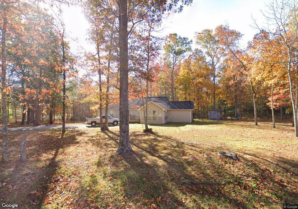
1364 Colony Rd Coalmont, TN 37313
Estimated Value: $136,906 - $228,000
Studio
2
Baths
1,380
Sq Ft
$141/Sq Ft
Est. Value
About This Home
This home is located at 1364 Colony Rd, Coalmont, TN 37313 and is currently estimated at $194,227, approximately $140 per square foot. 1364 Colony Rd is a home located in Grundy County with nearby schools including Cumberland Heights Sda School.
Ownership History
Date
Name
Owned For
Owner Type
Purchase Details
Closed on
Nov 18, 2009
Sold by
Leker Martha
Bought by
Layne Ricky
Current Estimated Value
Home Financials for this Owner
Home Financials are based on the most recent Mortgage that was taken out on this home.
Original Mortgage
$73,641
Outstanding Balance
$47,645
Interest Rate
4.98%
Estimated Equity
$146,583
Purchase Details
Closed on
Jul 26, 2004
Sold by
Vanheerden Andre
Bought by
Leker Harold
Purchase Details
Closed on
Oct 14, 1997
Bought by
Vanheerden Andre
Purchase Details
Closed on
Sep 13, 1991
Bought by
Harrold David M and Harrold Elva M
Create a Home Valuation Report for This Property
The Home Valuation Report is an in-depth analysis detailing your home's value as well as a comparison with similar homes in the area
Purchase History
| Date | Buyer | Sale Price | Title Company |
|---|---|---|---|
| Layne Ricky | $75,000 | -- | |
| Leker Harold | $63,500 | -- | |
| Vanheerden Andre | $3,700 | -- | |
| Harrold David M | $4,000 | -- |
Source: Public Records
Mortgage History
| Date | Status | Borrower | Loan Amount |
|---|---|---|---|
| Open | Harrold David M | $73,641 |
Source: Public Records
Tax History
| Year | Tax Paid | Tax Assessment Tax Assessment Total Assessment is a certain percentage of the fair market value that is determined by local assessors to be the total taxable value of land and additions on the property. | Land | Improvement |
|---|---|---|---|---|
| 2025 | $440 | $30,825 | $3,250 | $27,575 |
| 2024 | $440 | $30,825 | $3,250 | $27,575 |
| 2023 | $440 | $30,825 | $3,250 | $27,575 |
| 2022 | $406 | $18,350 | $2,125 | $16,225 |
| 2021 | $406 | $18,350 | $2,125 | $16,225 |
| 2020 | $406 | $18,350 | $2,125 | $16,225 |
| 2019 | $381 | $14,450 | $1,625 | $12,825 |
| 2018 | $381 | $15,000 | $1,625 | $13,375 |
| 2017 | $381 | $15,000 | $1,625 | $13,375 |
| 2016 | $381 | $15,000 | $1,625 | $13,375 |
| 2015 | $381 | $15,025 | $1,625 | $13,400 |
| 2014 | $381 | $15,018 | $0 | $0 |
Source: Public Records
Map
Nearby Homes
- 0 Savage Highland Dr Unit RTC2883867
- 2361 Colony Rd
- 0 Woodfern Ln Unit SW1K
- 0 Woodfern Ln Unit SW1J
- 3 Savage Highland Dr
- 3 Woodfern Ln
- 767 Wichser Rd
- 0 20th Ave N Unit RTC3049849
- 0 Boulder Lake Dr Unit NW 10
- 916 N Rim Dr
- 916 N Rim Dr Unit Nb1
- 0 Sr 108 Unit RTC2979327
- 3800 Colony Rd
- 105 18th Ave
- 18 Avenue Unit 12
- 18 Avenue Unit 6
- 549 Dollar Dr
- 28754 Tennessee 108
- 422 Dollar Dr
- 1 Fitchtown Rd Unit 5A
- 49 Hemlock Dr
- 0 Hemlock Dr Unit 1037066
- 1392 Colony Rd
- 149 Hemlock Dr
- 1244 Colony Rd
- 1307 Colony Rd
- 200 Dogwood Trail
- 0 Maple Branch Rd
- 0 Maple Branch Rd Unit RTC1262787
- 0 Maple Branch Rd Unit 1284507
- 0 Maple Branch Rd Unit 1262336
- 0 Maple Branch Rd Unit 1241610
- 1470 Colony Rd
- 1644 Colony Rd
- 200 Sunset Vista Rd
- 140 Maple Branch Rd
- 216 Carlson Rd
- 1727 Colony Rd
- 1763 Colony Rd
- 231 Maple Branch Rd
Your Personal Tour Guide
Ask me questions while you tour the home.