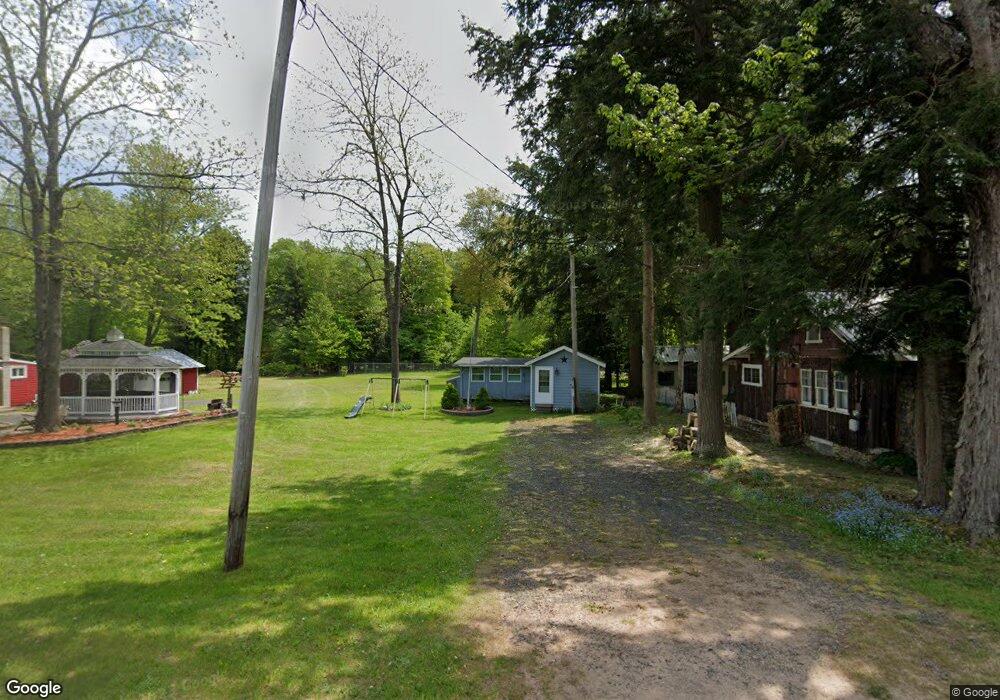
1364 County Route 17 Bernhards Bay, NY 13028
Estimated Value: $155,000 - $162,000
1
Bed
1
Bath
256
Sq Ft
$625/Sq Ft
Est. Value
About This Home
This home is located at 1364 County Route 17, Bernhards Bay, NY 13028 and is currently estimated at $159,924, approximately $624 per square foot. 1364 County Route 17 is a home located in Oswego County with nearby schools including Paul V. Moore High School.
Ownership History
Date
Name
Owned For
Owner Type
Purchase Details
Closed on
Nov 1, 2024
Sold by
Lamica Keith A and Lamica Maureen E
Bought by
Brown Molly E
Current Estimated Value
Home Financials for this Owner
Home Financials are based on the most recent Mortgage that was taken out on this home.
Original Mortgage
$135,000
Outstanding Balance
$133,890
Interest Rate
7.12%
Mortgage Type
New Conventional
Estimated Equity
$26,034
Purchase Details
Closed on
Jul 20, 2000
Sold by
Drought Shirley M
Bought by
Lamica Keith A
Create a Home Valuation Report for This Property
The Home Valuation Report is an in-depth analysis detailing your home's value as well as a comparison with similar homes in the area
Home Values in the Area
Average Home Value in this Area
Purchase History
| Date | Buyer | Sale Price | Title Company |
|---|---|---|---|
| Brown Molly E | $150,000 | Vanguard Research & Ttl Svcs | |
| Brown Molly E | $150,000 | Vanguard Research & Ttl Svcs | |
| Lamica Keith A | $35,000 | Norman Seiter | |
| Lamica Keith A | $35,000 | Norman Seiter |
Source: Public Records
Mortgage History
| Date | Status | Borrower | Loan Amount |
|---|---|---|---|
| Open | Brown Molly E | $135,000 | |
| Closed | Brown Molly E | $135,000 |
Source: Public Records
Tax History Compared to Growth
Tax History
| Year | Tax Paid | Tax Assessment Tax Assessment Total Assessment is a certain percentage of the fair market value that is determined by local assessors to be the total taxable value of land and additions on the property. | Land | Improvement |
|---|---|---|---|---|
| 2024 | $1,448 | $37,400 | $25,100 | $12,300 |
| 2023 | $1,417 | $37,400 | $25,100 | $12,300 |
| 2022 | $1,336 | $37,400 | $25,100 | $12,300 |
| 2021 | $1,301 | $37,400 | $25,100 | $12,300 |
| 2020 | $1,342 | $37,400 | $25,100 | $12,300 |
| 2018 | $1,332 | $37,400 | $25,100 | $12,300 |
| 2016 | $1,269 | $37,400 | $25,100 | $12,300 |
Source: Public Records
Map
Nearby Homes
- 157 Sandy Point Dr
- 0 Cr-65 Unit S1632600
- 114 N Shore Dr
- 19 Goose Point Rd
- Lot 26 Birmingham Woods Dr Unit 26
- Birmingham Woods Rd
- 0 Fishermans Bridge Rd
- 87 Tamblin Ridge
- 122 County Route 17a
- 0 N Hillsborough Rd
- 0 Tamblin Ridge Unit R1640141
- 415 N Hillsboro Rd
- 00 N Hillsboro Rd
- 212 Lewis Rd
- 0 Tamblin Ridge Trl Lot Unit WP001
- 0 Tamblin Ridge Trail Unit 11579274
- 575 County Route 65
- 780 Center St
- 223 Lewis Rd
- 330 Roosevelt Rd
- 1362 County Route 17
- 1368 County Route 17
- 22 Rachel St
- 11 Rachel St
- 9 Rachel St
- 1358 County Route 17
- 16 Rachel St
- 1372 County Route 17
- 10 Rachel St
- 1379 County Route 17
- 12 Rachel St
- 1352 County Route 17
- 1380 County Route 17
- 1382 County Route 17
- 1348 County Route 17
- 1384 County Route 17
- 1386 County Route 17
- 16 S Shore Dr
- 1388 County Route 17
- 13 S Shore Dr