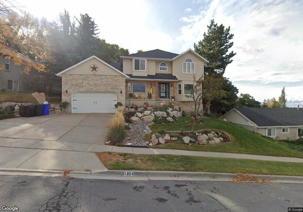
1364 E 250 N Bountiful, UT 84010
Estimated Value: $646,000 - $839,000
5
Beds
4
Baths
2,566
Sq Ft
$303/Sq Ft
Est. Value
About This Home
This home is located at 1364 E 250 N, Bountiful, UT 84010 and is currently estimated at $778,185, approximately $303 per square foot. 1364 E 250 N is a home located in Davis County with nearby schools including Holbrook Elementary School, Millcreek Junior High School, and Bountiful High School.
Ownership History
Date
Name
Owned For
Owner Type
Purchase Details
Closed on
Jun 15, 2023
Sold by
Jones Daniel Mark
Bought by
Mark And Jerilee Jones Family Trust
Current Estimated Value
Home Financials for this Owner
Home Financials are based on the most recent Mortgage that was taken out on this home.
Original Mortgage
$1,285,700
Outstanding Balance
$1,248,223
Interest Rate
6.13%
Mortgage Type
New Conventional
Estimated Equity
-$470,038
Purchase Details
Closed on
Dec 16, 2022
Sold by
Jones D Mark
Bought by
Mark And Jerilee Jones Family Trust
Purchase Details
Closed on
Apr 15, 1996
Sold by
Pugh Michael J and Wilson Joy L
Bought by
Jones D Mark and Jones Jerilee
Home Financials for this Owner
Home Financials are based on the most recent Mortgage that was taken out on this home.
Original Mortgage
$203,200
Interest Rate
7.97%
Create a Home Valuation Report for This Property
The Home Valuation Report is an in-depth analysis detailing your home's value as well as a comparison with similar homes in the area
Purchase History
| Date | Buyer | Sale Price | Title Company |
|---|---|---|---|
| Mark And Jerilee Jones Family Trust | -- | Prospect Title Insurance | |
| Jones Daniel Mark | -- | Prospect Title Insurance | |
| Mark And Jerilee Jones Family Trust | -- | -- | |
| Jones D Mark | -- | America West Title Agency In |
Source: Public Records
Mortgage History
| Date | Status | Borrower | Loan Amount |
|---|---|---|---|
| Open | Jones Daniel Mark | $1,285,700 | |
| Previous Owner | Jones D Mark | $203,200 |
Source: Public Records
Tax History
| Year | Tax Paid | Tax Assessment Tax Assessment Total Assessment is a certain percentage of the fair market value that is determined by local assessors to be the total taxable value of land and additions on the property. | Land | Improvement |
|---|---|---|---|---|
| 2025 | $759 | $413,600 | $155,525 | $258,075 |
| 2024 | $850 | $393,250 | $143,152 | $250,098 |
| 2023 | $4,049 | $698,000 | $262,748 | $435,252 |
| 2022 | $4,102 | $387,750 | $140,358 | $247,392 |
| 2021 | $876 | $551,000 | $208,887 | $342,113 |
| 2020 | $3,250 | $472,000 | $190,132 | $281,868 |
| 2019 | $3,277 | $465,000 | $180,262 | $284,738 |
| 2018 | $3,125 | $437,000 | $168,393 | $268,607 |
| 2016 | $2,873 | $218,405 | $78,890 | $139,515 |
| 2015 | $2,934 | $211,145 | $78,890 | $132,255 |
| 2014 | $2,906 | $214,993 | $78,890 | $136,103 |
| 2013 | -- | $211,264 | $79,186 | $132,078 |
Source: Public Records
Map
Nearby Homes
- 1138 Briggs Dr
- 144 Bountiful Blvd
- 111 Eagle Ridge Dr
- 1342 E Skyline Dr N Unit 30
- 331 S 1550 E Unit 3
- 908 Northern Hills Dr Unit 3
- 933 Northern Hills Cir
- 6 N 800 E
- 129 N 800 E
- 683 E 100 N
- 0 Lot Bountiful Blvd
- 698 E 200 S
- 513 N 400 E Unit 14B
- 861 E Millbrook Way
- 456 E 500 S
- 453 N 400 E Unit 7-D
- 520 S Orchard Dr Unit 17
- 323 Peach Ln
- 275 E Peach Ln S
- 255 E 400 S
- 1376 E 250 N
- 1352 E 250 N
- 266 Pheasant Ridge Cir
- 1328 E 250 N
- 1377 E 250 N
- 1312 E 250 N Unit 2
- 186 N 1375 E
- 281 Pheasant Ridge Cir
- 1391 E 250 N
- 282 Pheasant Ridge Cir
- 270 N 1300 E
- 101 N 1375 E
- 290 N 1300 E
- 1382 Pheasant Ridge Cir
- 92 N 1375 E
- 1366 Pheasant Ridge Cir
- 180 N 1300 E
- 1415 E 250 N
- 90 N 1300 E
- 297 Pheasant Ridge Cir
Your Personal Tour Guide
Ask me questions while you tour the home.