1364 Lanetown Rd Crozet, VA 22932
Estimated Value: $310,000 - $451,000
3
Beds
1
Bath
1,446
Sq Ft
$244/Sq Ft
Est. Value
About This Home
This home is located at 1364 Lanetown Rd, Crozet, VA 22932 and is currently estimated at $353,078, approximately $244 per square foot. 1364 Lanetown Rd is a home located in Albemarle County with nearby schools including Crozet Elementary School, Joseph T. Henley Middle School, and Western Albemarle High School.
Ownership History
Date
Name
Owned For
Owner Type
Purchase Details
Closed on
Sep 8, 2017
Sold by
Thompson Thomas H
Bought by
Schneider Julia Dorman
Current Estimated Value
Create a Home Valuation Report for This Property
The Home Valuation Report is an in-depth analysis detailing your home's value as well as a comparison with similar homes in the area
Home Values in the Area
Average Home Value in this Area
Purchase History
| Date | Buyer | Sale Price | Title Company |
|---|---|---|---|
| Schneider Julia Dorman | $179,000 | None Available |
Source: Public Records
Tax History Compared to Growth
Tax History
| Year | Tax Paid | Tax Assessment Tax Assessment Total Assessment is a certain percentage of the fair market value that is determined by local assessors to be the total taxable value of land and additions on the property. | Land | Improvement |
|---|---|---|---|---|
| 2025 | $2,337 | $261,400 | $86,400 | $175,000 |
| 2024 | -- | $246,600 | $86,400 | $160,200 |
| 2023 | $2,056 | $240,800 | $81,000 | $159,800 |
| 2022 | $1,756 | $210,700 | $75,600 | $135,100 |
| 2021 | $1,364 | $200,500 | $72,900 | $127,600 |
| 2020 | $1,241 | $145,300 | $63,500 | $81,800 |
| 2019 | $1,196 | $140,000 | $62,100 | $77,900 |
| 2018 | $933 | $127,200 | $56,700 | $70,500 |
| 2017 | $798 | $95,100 | $48,600 | $46,500 |
| 2016 | $934 | $111,300 | $64,800 | $46,500 |
| 2015 | $446 | $109,000 | $64,800 | $44,200 |
| 2014 | -- | $108,700 | $64,800 | $43,900 |
Source: Public Records
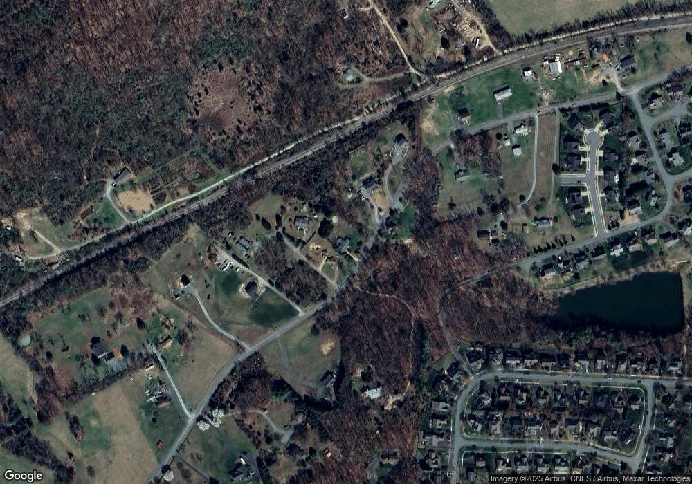
Map
Nearby Homes
- 1811 Lanetown Way
- 334 Grayrock Dr
- 1211 Lanetown Rd
- 1445 Orchard Dr
- 1439 Orchard Dr
- 6175 Jarmans Gap Rd
- 6119 - 8 Jarmans Gap Rd
- 6119 - 8 Jarmans Gap Rd Unit Lot 8 Jarmans Gap
- 4 Jarmans Gap Rd
- 4 Jarmans Gap Rd Unit Lot 4 Jarmans Gap
- 3B Jarmans Gap Rd
- 3B Jarmans Gap Rd Unit Lot 3B Jarmans Gap
- 6119 - 1 Jarmans Gap Rd Unit Lot 1 Jarmans Gap
- 6119 - 1 Jarmans Gap Rd
- 3 Jarmans Gap Rd
- 3 Jarmans Gap Rd Unit Lot 3 Jarmans Gap
- 3C Jarmans Gap Rd Unit Lot 3C Jarmans Gap
- 3C Jarmans Gap Rd
- 2 Jarmans Gap Rd Unit Lot 2 Jarmans Gap
- 2 Jarmans Gap Rd
- 6422 Burnt Acres Ct
- 6424 Burnt Acres Ct
- 1369 Lanetown Rd
- 1368 Lanetown Rd
- 1374 Lanetown Rd
- 6428 Burnt Acres Ct Unit 6428 & 6430
- 6428 Burnt Acres Ct Unit 6428 & 6430
- 6428 Burnt Acres Ct
- 6428 Burnt Acres Ct
- 1336 Lanetown Rd
- 6428 & 6430 Burnt Acres Ct Unit 6428 & 6430
- TBD - Lot 2 Lanetown Rd
- TBD - Lot 1 Lanetown Rd
- 1409 Lanetown Rd
- 1333 Lanetown Rd
- 1385 Lanetown Rd
- 1343 Lanetown Rd
- 412 Grayrock Dr
- 418 Grayrock Dr
- 6404 Marymart Farm Rd