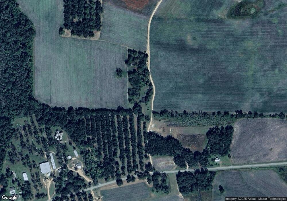
Estimated Value: $152,000 - $2,583,351
Studio
--
Bath
1,308
Sq Ft
$1,046/Sq Ft
Est. Value
About This Home
This home is located at 13644 Barwick Rd, Pavo, GA 31778 and is currently estimated at $1,367,676, approximately $1,045 per square foot. 13644 Barwick Rd is a home with nearby schools including North Brooks Elementary School.
Ownership History
Date
Name
Owned For
Owner Type
Purchase Details
Closed on
Mar 20, 2014
Sold by
West W Wayne W and West Betty G
Bought by
Conservation Use Covenant Recording
Current Estimated Value
Purchase Details
Closed on
Sep 24, 2007
Sold by
West W Wayne W and West Betty G
Bought by
Conservation Use Covenant Recording
Purchase Details
Closed on
Apr 8, 1991
Sold by
West W Wayne Od Pc
Bought by
West West W and West Betty G
Purchase Details
Closed on
Feb 20, 1987
Sold by
South Atlantic Pca
Bought by
West W Wayne Od Pc
Purchase Details
Closed on
Oct 20, 1986
Sold by
Goodson L R
Bought by
South Atlantic Pca
Create a Home Valuation Report for This Property
The Home Valuation Report is an in-depth analysis detailing your home's value as well as a comparison with similar homes in the area
Purchase History
| Date | Buyer | Sale Price | Title Company |
|---|---|---|---|
| Conservation Use Covenant Recording | -- | -- | |
| Conservation Use Covenant Recording | -- | -- | |
| West West W | $10,000 | -- | |
| West W Wayne Od Pc | $237,500 | -- | |
| South Atlantic Pca | -- | -- |
Source: Public Records
Tax History
| Year | Tax Paid | Tax Assessment Tax Assessment Total Assessment is a certain percentage of the fair market value that is determined by local assessors to be the total taxable value of land and additions on the property. | Land | Improvement |
|---|---|---|---|---|
| 2025 | $6,171 | $911,772 | $868,960 | $42,812 |
| 2024 | $6,038 | $911,772 | $868,960 | $42,812 |
| 2023 | $5,861 | $798,732 | $757,480 | $41,252 |
| 2022 | $6,118 | $757,880 | $721,400 | $36,480 |
| 2021 | $5,907 | $640,320 | $605,920 | $34,400 |
| 2020 | $17,776 | $640,080 | $605,920 | $34,160 |
| 2019 | $5,550 | $562,120 | $528,960 | $33,160 |
| 2018 | $16,601 | $568,400 | $535,240 | $33,160 |
| 2017 | $5,395 | $567,760 | $535,240 | $32,520 |
| 2016 | $5,291 | $568,120 | $535,240 | $32,880 |
| 2015 | -- | $567,960 | $535,240 | $32,720 |
| 2014 | -- | $567,960 | $535,240 | $32,720 |
| 2013 | -- | $631,768 | $593,440 | $38,328 |
Source: Public Records
Map
Nearby Homes
- 800 Clifford St
- 1038-BA Church St
- 7402 Coffee Rd
- 1136 Nesbitt Rd
- 431 Dry Lake Rd
- 9900 Ozell Rd
- 581 Harris St
- 813 Vonier Rd
- 813 Vonier Road (6 Acres)
- 1230 Parrish Rd
- 7921 Five Forks Rd
- 0 Spencer Rd
- 111 Nicole Britt Dr
- 110 Nicole Britt Dr
- 106 Nicole Britt Dr
- 101 Bailey Cir
- 201 Bailey Cir
- 4311 Ozell Rd
- 3812 Ponder Rd
- 9283 Tallokas Rd Unit 54/13
