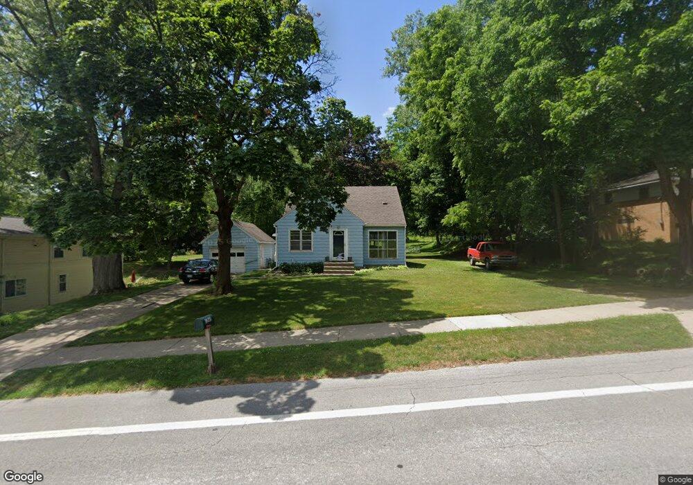
1365 Bristol Ave NW Grand Rapids, MI 49504
Westside Connection NeighborhoodEstimated Value: $281,941 - $305,000
3
Beds
2
Baths
1
Sq Ft
$293,735/Sq Ft
Est. Value
About This Home
This home is located at 1365 Bristol Ave NW, Grand Rapids, MI 49504 and is currently estimated at $293,735, approximately $293,735 per square foot. 1365 Bristol Ave NW is a home located in Kent County with nearby schools including Harrison Elementary School, Westwood Middle School, and Union High School.
Ownership History
Date
Name
Owned For
Owner Type
Purchase Details
Closed on
Sep 3, 2021
Sold by
Bryan John S and Bryan Penny J
Bought by
Bryan John S and Bryan Penny J
Current Estimated Value
Purchase Details
Closed on
Jul 21, 2014
Sold by
Bryan John S and Bryan Penny J
Bought by
Bryan John S and Bryan Penny J
Purchase Details
Closed on
Aug 28, 2006
Sold by
Brown George A and Brown Christine A
Bought by
Brown George A and Brown Christine A
Purchase Details
Closed on
Aug 19, 1988
Purchase Details
Closed on
Jun 25, 1985
Bought by
Bryan John S Penny J
Create a Home Valuation Report for This Property
The Home Valuation Report is an in-depth analysis detailing your home's value as well as a comparison with similar homes in the area
Home Values in the Area
Average Home Value in this Area
Purchase History
| Date | Buyer | Sale Price | Title Company |
|---|---|---|---|
| Bryan John S | -- | None Available | |
| Bryan John S | -- | None Available | |
| Brown George A | -- | None Available | |
| -- | $57,000 | -- | |
| Bryan John S Penny J | $45,500 | -- |
Source: Public Records
Tax History Compared to Growth
Tax History
| Year | Tax Paid | Tax Assessment Tax Assessment Total Assessment is a certain percentage of the fair market value that is determined by local assessors to be the total taxable value of land and additions on the property. | Land | Improvement |
|---|---|---|---|---|
| 2025 | $1,946 | $120,600 | $0 | $0 |
| 2024 | $1,946 | $112,000 | $0 | $0 |
| 2023 | $1,975 | $91,900 | $0 | $0 |
| 2022 | $1,875 | $81,000 | $0 | $0 |
| 2021 | $1,833 | $78,100 | $0 | $0 |
| 2020 | $1,752 | $75,200 | $0 | $0 |
| 2019 | $1,835 | $62,800 | $0 | $0 |
| 2018 | $1,772 | $59,400 | $0 | $0 |
| 2017 | $1,725 | $51,400 | $0 | $0 |
| 2016 | $1,746 | $49,300 | $0 | $0 |
| 2015 | $1,624 | $49,300 | $0 | $0 |
| 2013 | -- | $52,400 | $0 | $0 |
Source: Public Records
Map
Nearby Homes
- 1611 Lockhart Dr NW
- 1835 Kerwin St NW
- 1362 Myrtle St NW
- 1130 Haines St NW
- 1071 Bristol Ave NW
- 1840 Richmond St NW
- 1439 Parkhurst Ave NW
- 1457 Valley Ave NW
- 1126 Edison Ave NW
- 1500 Hillcrest Ave NW
- 1355 Hillcrest Ave NW
- 1462 Walker Ave NW
- 1232 Arianna St NW
- 1029 Woodrow Ave NW
- 1317 Morgan St NW
- 1459 Garfield Ave NW
- 1753 Preston Ave NW
- 1221 Garfield Ave NW
- 1200 Leonard St NW
- 1417 Powers Ave NW
- 1355 Bristol Ave NW
- 1407 Bristol Ave NW
- 1682 Lockhart Ave NW
- 1417 Bristol Ave NW
- 1341 Bristol Ave NW
- 1682 Lockhart Dr NW
- 1676 Lockhart Ave NW
- 1673 Walker Ave NW
- 1681 Lockhart Dr NW
- 1612 Lockhart Ave NW
- 1681 Lockhart Ave NW
- 1634 Lockhart Ave NW
- 960 Bristol Ave NW
- 1671 Lockhart Ave NW
- 1671 Lockhart Dr NW
- 1677 Walker Ave NW
- 1661 Lockhart Dr NW
- 1661 Lockhart Ave NW
- 1605 Lockhart Ave NW
- 1651 Lockhart Dr NW