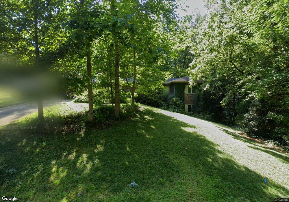
1365 Brook Forest Dr NE Unit 2 Atlanta, GA 30324
Lavista Park NeighborhoodEstimated Value: $544,000 - $784,000
3
Beds
2
Baths
1,675
Sq Ft
$382/Sq Ft
Est. Value
About This Home
This home is located at 1365 Brook Forest Dr NE Unit 2, Atlanta, GA 30324 and is currently estimated at $639,952, approximately $382 per square foot. 1365 Brook Forest Dr NE Unit 2 is a home located in DeKalb County with nearby schools including Briar Vista Elementary School, Druid Hills Middle School, and Druid Hills High School.
Ownership History
Date
Name
Owned For
Owner Type
Purchase Details
Closed on
Oct 8, 2002
Sold by
Goldstein Eileen W
Bought by
Lushbaugh David J
Current Estimated Value
Purchase Details
Closed on
Jan 8, 2002
Sold by
Goldstein Eileen W
Bought by
Lushbaugh David W
Home Financials for this Owner
Home Financials are based on the most recent Mortgage that was taken out on this home.
Original Mortgage
$228,000
Interest Rate
5.95%
Mortgage Type
New Conventional
Create a Home Valuation Report for This Property
The Home Valuation Report is an in-depth analysis detailing your home's value as well as a comparison with similar homes in the area
Home Values in the Area
Average Home Value in this Area
Purchase History
| Date | Buyer | Sale Price | Title Company |
|---|---|---|---|
| Lushbaugh David J | $285,000 | -- | |
| Lushbaugh David W | $285,000 | -- |
Source: Public Records
Mortgage History
| Date | Status | Borrower | Loan Amount |
|---|---|---|---|
| Previous Owner | Lushbaugh David W | $228,000 |
Source: Public Records
Tax History Compared to Growth
Tax History
| Year | Tax Paid | Tax Assessment Tax Assessment Total Assessment is a certain percentage of the fair market value that is determined by local assessors to be the total taxable value of land and additions on the property. | Land | Improvement |
|---|---|---|---|---|
| 2025 | $5,012 | $183,480 | $73,392 | $110,088 |
| 2024 | $5,233 | $183,480 | $73,392 | $110,088 |
| 2023 | $5,233 | $183,480 | $73,680 | $109,800 |
| 2022 | $4,845 | $148,720 | $78,822 | $69,898 |
| 2021 | $4,476 | $148,720 | $78,822 | $69,898 |
| 2020 | $3,431 | $148,720 | $79,200 | $69,520 |
| 2019 | $3,495 | $104,040 | $23,929 | $80,111 |
| 2018 | $3,615 | $104,039 | $23,929 | $80,110 |
| 2017 | $3,628 | $104,040 | $23,929 | $80,111 |
| 2016 | $3,973 | $116,720 | $29,040 | $87,680 |
| 2014 | $3,204 | $95,280 | $29,040 | $66,240 |
Source: Public Records
Map
Nearby Homes
- 1231 Wildcliff Cir NE
- 1242 Wild Creek Trail NE
- 1263 Hopkins Terrace NE
- 1255 Beech Haven Rd NE
- 1476 Lavista Rd NE
- 1341 Sheffield Glen Way NE
- 2310 Briarcliff Rd NE
- 1307 Mayfair Dr NE
- 1348 Sheffield Glen Way NE Unit 8
- 1352 Sheffield Glen Way NE
- 1542 Lavista Rd NE
- 1363 Sheffield Glen Way NE
- 1320 Mayfair Dr NE
- 1295 Linden Ct NE
- 1297 Ascot Terrace
- 1160 Kendron Ln Unit 16
- 1153 Chantilly Ridge NE
- 1371 Brook Forest Dr NE
- 1357 Brook Forest Dr NE
- 1379 Brook Forest Dr NE
- 1379 Brook Forest Dr NE Unit 2
- 1370 Brook Forest Dr NE
- 1352 Brook Forest Dr NE
- 1378 Brook Forest Dr NE
- 1221 Citadel Dr NE
- 1385 Brook Forest Dr NE
- 1232 Wildcliff Cir NE
- 1225 Citadel Dr NE
- 1200 Wild Creek Trail NE
- 1384 Brook Forest Dr NE
- 1236 Wildcliff Cir NE
- 1210 Wild Creek Trail NE
- 1229 Citadel Dr NE
- 1178 Wild Creek Trail NE
- 1218 Wild Creek Trail NE
- 1240 Wildcliff Cir NE
- 1179 Citadel Dr NE