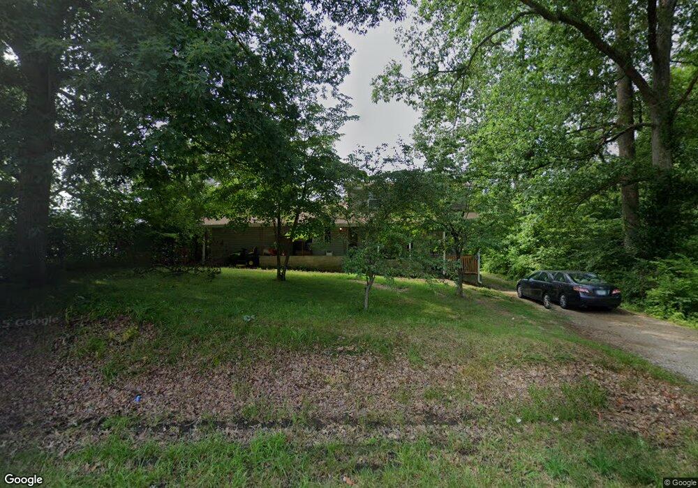
1365 Highway 62 NW Corydon, IN 47112
Estimated Value: $183,000 - $235,000
3
Beds
2
Baths
2,032
Sq Ft
$105/Sq Ft
Est. Value
About This Home
This home is located at 1365 Highway 62 NW, Corydon, IN 47112 and is currently estimated at $212,536, approximately $104 per square foot. 1365 Highway 62 NW is a home located in Harrison County with nearby schools including Corydon Elementary School, Corydon Intermediate School, and Corydon Central Junior High School.
Ownership History
Date
Name
Owned For
Owner Type
Purchase Details
Closed on
Nov 12, 2021
Sold by
Pittman Don
Bought by
Wright Jason R
Current Estimated Value
Purchase Details
Closed on
Dec 15, 2009
Sold by
Charles A Adamson
Bought by
Don Pittman and Don Pittman
Purchase Details
Closed on
Dec 11, 2009
Sold by
Mary R Arms
Bought by
Adamson Charles A and Adamson Edith E
Create a Home Valuation Report for This Property
The Home Valuation Report is an in-depth analysis detailing your home's value as well as a comparison with similar homes in the area
Home Values in the Area
Average Home Value in this Area
Purchase History
| Date | Buyer | Sale Price | Title Company |
|---|---|---|---|
| Wright Jason R | $95,000 | Mattingly Ford Title Services | |
| Don Pittman | $65,000 | Simpson Thompson @Colin Llc | |
| Adamson Charles A | $55,000 | Simpson Thompson @Colin Llc |
Source: Public Records
Tax History Compared to Growth
Tax History
| Year | Tax Paid | Tax Assessment Tax Assessment Total Assessment is a certain percentage of the fair market value that is determined by local assessors to be the total taxable value of land and additions on the property. | Land | Improvement |
|---|---|---|---|---|
| 2024 | $850 | $167,800 | $47,700 | $120,100 |
| 2023 | $783 | $159,800 | $51,900 | $107,900 |
| 2022 | $761 | $148,300 | $45,100 | $103,200 |
| 2021 | $650 | $130,000 | $45,100 | $84,900 |
| 2020 | $1,623 | $128,500 | $45,100 | $83,400 |
| 2019 | $1,643 | $124,900 | $45,100 | $79,800 |
| 2018 | $1,521 | $116,900 | $45,100 | $71,800 |
| 2017 | $1,478 | $116,900 | $45,100 | $71,800 |
| 2016 | $1,379 | $115,400 | $45,100 | $70,300 |
| 2014 | $1,322 | $116,100 | $45,100 | $71,000 |
| 2013 | $1,322 | $113,900 | $45,100 | $68,800 |
Source: Public Records
Map
Nearby Homes
- 1235 Highway 62 NW
- 1477 Poplar Trace Way NW
- 1487 Poplar Trace Way NW
- 1052 Poplar Trace Way NW
- DUPONT Plan at Poplar Trace
- 1557 Cypress Cove NW
- 1555 Cypress Cove NW
- 1371 Poplar Trace Way NW
- 1052 Poplar Trace Way
- 1944 Andrew Ct NW
- 1230 Karen Ave NW
- 813 Woodland Ave
- 710 Sky Way Dr NW
- 609 Farquar Ave
- 524 N Capitol Ave
- 601 Farquar Ave
- 104 Cook St
- 1121 Poplar Trace Way NW
- 300 N Maple St
- 2012 S Gethsemane Rd NW
- 1365 Indiana 62
- 1322 Roberts St NW
- 1341 Highway 62 NW
- 1390 Highway 62 NW
- 1431 Indiana 62
- 1431 Highway 62 NW
- 1418 Highway 62 NW
- 1318 Indiana 62
- 1318 Highway 62 NW
- 1385 Roberts St NW
- 1321 Highway 62 NW
- 1321 Highway 62 NW
- 0 Roberts St NW Unit 49
- 1356 Roberts St NW
- 1305 Highway 62
- 1284 Highway 62 NW
- 1455 Indiana 62
- 1455 Highway 62 NW
- 1376 Roberts St NW
- 1270 Toler Rd NW