1365 Nc Highway 27 W Unit A Benson, NC 27504
Estimated Value: $313,000 - $347,000
3
Beds
2
Baths
1,918
Sq Ft
$170/Sq Ft
Est. Value
About This Home
This home is located at 1365 Nc Highway 27 W Unit A, Benson, NC 27504 and is currently estimated at $325,639, approximately $169 per square foot. 1365 Nc Highway 27 W Unit A is a home located in Johnston County with nearby schools including Benson Elementary School, Benson Middle School, and South Johnston High School.
Ownership History
Date
Name
Owned For
Owner Type
Purchase Details
Closed on
Apr 28, 2005
Sold by
Mclamb Judy Diane
Bought by
Mclamb Martin J
Current Estimated Value
Home Financials for this Owner
Home Financials are based on the most recent Mortgage that was taken out on this home.
Original Mortgage
$100,000
Outstanding Balance
$52,275
Interest Rate
5.88%
Mortgage Type
Assumption
Estimated Equity
$273,364
Create a Home Valuation Report for This Property
The Home Valuation Report is an in-depth analysis detailing your home's value as well as a comparison with similar homes in the area
Home Values in the Area
Average Home Value in this Area
Purchase History
| Date | Buyer | Sale Price | Title Company |
|---|---|---|---|
| Mclamb Martin J | $149,000 | None Available |
Source: Public Records
Mortgage History
| Date | Status | Borrower | Loan Amount |
|---|---|---|---|
| Open | Mclamb Martin J | $100,000 |
Source: Public Records
Tax History Compared to Growth
Tax History
| Year | Tax Paid | Tax Assessment Tax Assessment Total Assessment is a certain percentage of the fair market value that is determined by local assessors to be the total taxable value of land and additions on the property. | Land | Improvement |
|---|---|---|---|---|
| 2025 | $1,852 | $291,730 | $82,700 | $209,030 |
| 2024 | $1,383 | $170,790 | $39,280 | $131,510 |
| 2023 | $1,383 | $170,790 | $39,280 | $131,510 |
| 2022 | $1,452 | $170,790 | $39,280 | $131,510 |
| 2021 | $1,452 | $170,790 | $39,280 | $131,510 |
| 2020 | $1,469 | $170,790 | $39,280 | $131,510 |
| 2019 | $1,469 | $170,790 | $39,280 | $131,510 |
| 2018 | $1,270 | $144,280 | $31,010 | $113,270 |
| 2017 | $1,270 | $144,280 | $31,010 | $113,270 |
| 2016 | $1,255 | $144,280 | $31,010 | $113,270 |
| 2015 | $1,321 | $151,870 | $31,010 | $120,860 |
| 2014 | $1,321 | $151,870 | $31,010 | $120,860 |
Source: Public Records
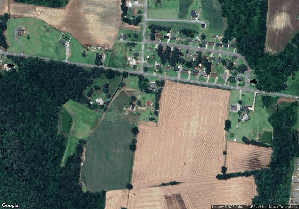
Map
Nearby Homes
- 417 Plentiful Way Unit 109p
- 413 S Plentiful Way Unit 107p
- 415 W Plentiful Way Unit 108p
- 107 S Mule Way
- 107 S Mule Way Unit 90
- 137 Benson Village Dr
- 137 Benson Village Dr Unit 74
- 145 Benson Village Dr Unit 78
- 300 S Pine St
- TA3000 Plan at Benson Village
- Montcrest Plan at Benson Village
- Calgary Plan at Benson Village
- Vale Plan at Benson Village
- Kipling Plan at Benson Village
- Riley Plan at Benson Village
- TA1600 Plan at Benson Village
- Bedford Plan at Benson Village
- Huntley Plan at Benson Village
- TA4000 Plan at Benson Village
- Wayne Plan at Benson Village
- 1365 N Carolina 27
- 1338 Nc Highway 27 W
- 1343 N Carolina 27
- 1324 N Carolina 27
- 1382 Nc Highway 27 W
- 1343 Nc Highway 27 W
- 1356 Nc Highway 27 W
- 1324 Nc Highway 27 W
- 1308 Nc Highway 27 W
- 1395 Nc Highway 27 W
- 1294 Nc Highway 27 W
- 1121 W Pope St
- 1123 W Pope St
- 1119 W Pope St
- 1117 W Pope St
- 412 Mingo Rd
- 1286 N Carolina 27
- 1286 Nc Highway 27 W
- 1113 W Pope St
- 1282 N Carolina 27