1365 Saint Andrews Ln Greendale, IN 47025
Estimated Value: $490,000 - $552,000
4
Beds
3
Baths
2,113
Sq Ft
$252/Sq Ft
Est. Value
About This Home
This home is located at 1365 Saint Andrews Ln, Greendale, IN 47025 and is currently estimated at $532,510, approximately $252 per square foot. 1365 Saint Andrews Ln is a home located in Dearborn County with nearby schools including East Central High School.
Ownership History
Date
Name
Owned For
Owner Type
Purchase Details
Closed on
Apr 29, 2008
Sold by
Mann Ii Ltd
Bought by
Rohrer Timothy W and Rohrer Holly M
Current Estimated Value
Home Financials for this Owner
Home Financials are based on the most recent Mortgage that was taken out on this home.
Original Mortgage
$300,720
Outstanding Balance
$190,942
Interest Rate
5.93%
Mortgage Type
Stand Alone First
Estimated Equity
$341,568
Create a Home Valuation Report for This Property
The Home Valuation Report is an in-depth analysis detailing your home's value as well as a comparison with similar homes in the area
Home Values in the Area
Average Home Value in this Area
Purchase History
| Date | Buyer | Sale Price | Title Company |
|---|---|---|---|
| Rohrer Timothy W | -- | -- |
Source: Public Records
Mortgage History
| Date | Status | Borrower | Loan Amount |
|---|---|---|---|
| Open | Rohrer Timothy W | $300,720 |
Source: Public Records
Tax History Compared to Growth
Tax History
| Year | Tax Paid | Tax Assessment Tax Assessment Total Assessment is a certain percentage of the fair market value that is determined by local assessors to be the total taxable value of land and additions on the property. | Land | Improvement |
|---|---|---|---|---|
| 2024 | $3,240 | $324,000 | $69,400 | $254,600 |
| 2023 | $3,303 | $330,300 | $69,400 | $260,900 |
| 2022 | $3,397 | $339,700 | $69,400 | $270,300 |
| 2021 | $3,200 | $320,000 | $69,400 | $250,600 |
| 2020 | $3,224 | $322,400 | $68,600 | $253,800 |
| 2019 | $3,232 | $323,200 | $68,600 | $254,600 |
| 2018 | $3,289 | $328,900 | $68,600 | $260,300 |
| 2017 | $2,845 | $284,500 | $68,600 | $215,900 |
| 2016 | $2,871 | $287,100 | $68,600 | $218,500 |
| 2014 | $2,927 | $292,700 | $68,600 | $224,100 |
Source: Public Records
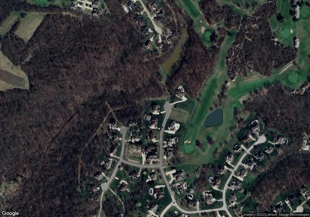
Map
Nearby Homes
- 19278 Par Dr
- 19358 Par Dr
- 18826 Casey's Trail
- Drexel Plan at The Crossing at Tanners Creek
- Rockford Plan at The Crossing at Tanners Creek
- Sanibel Plan at The Crossing at Tanners Creek
- Somerset Plan at The Crossing at Tanners Creek
- Longwood Plan at The Crossing at Tanners Creek
- Avalon Plan at The Crossing at Tanners Creek
- Dallas Plan at The Crossing at Tanners Creek
- 18815 Rileys Ridge
- 19930 Alpine Dr
- 1448 Cliftmont Cir
- 20000 Cravenhurst Dr
- Lot 1525 Lakeview Dr
- 1261 Heidi Haven Dr
- 20072 Cravenhurst Dr
- 00 Longview Dr
- 20074 Ravenda Dr
- 19534 Longview Dr
- 1365 St Andrews Ln
- 1355 Saint Andrews Ln
- 1348 Gleneagles Place
- 1374 Saint Andrews Ln
- 1354 Saint Andrews Ln
- 1345 Saint Andrews Ln
- 1346 Gleneagles Place
- 1344 Saint Andrews Ln
- 1353 Gleneagles Place
- 1334 Saint Andrews Ln
- 1335 Saint Andrews Ln
- 1463 Kathy Ct
- 1343 Gleneagles Place
- 1473 Kathy Ct
- 1474 Kathy Ct
- 18460 Troon Place
- 1325 Saint Andrews Ln
- 1324 Saint Andrews Ln
- 1483 Kathy Ct