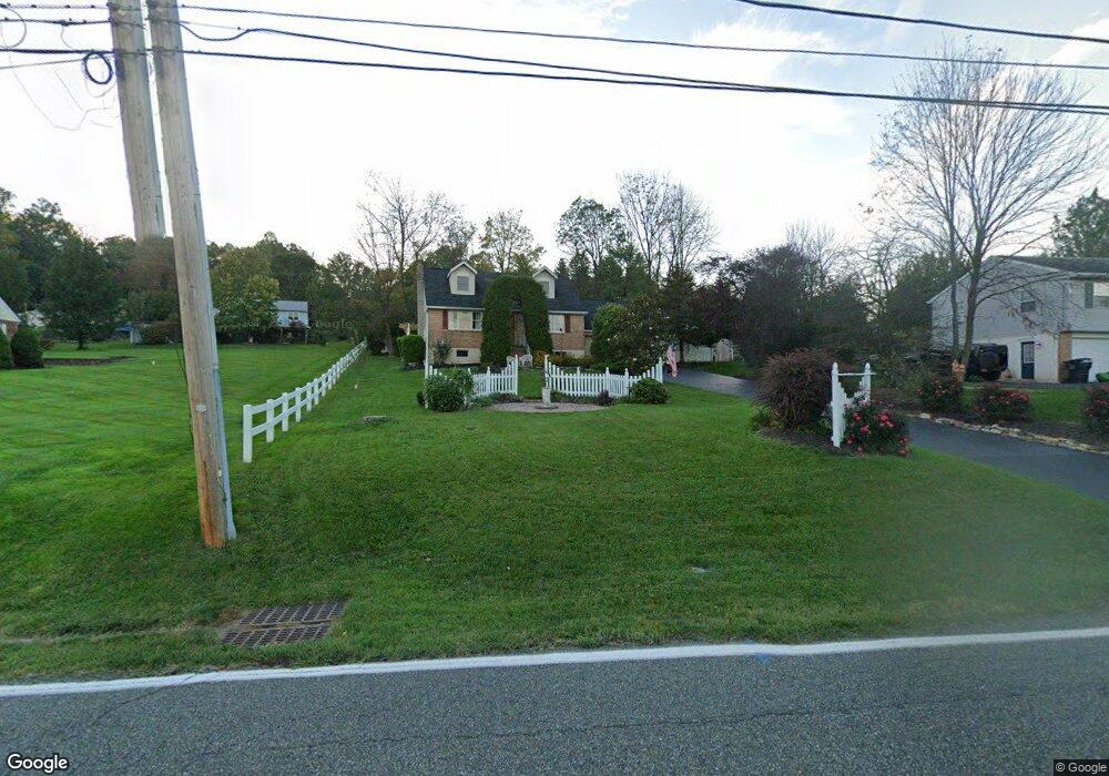
1365 State St Pottstown, PA 19464
Estimated Value: $283,000 - $423,539
2
Beds
2
Baths
1,559
Sq Ft
$239/Sq Ft
Est. Value
About This Home
This home is located at 1365 State St, Pottstown, PA 19464 and is currently estimated at $373,135, approximately $239 per square foot. 1365 State St is a home located in Montgomery County with nearby schools including Lower Pottsgrove Elementary School, Pottsgrove Middle School, and Pottsgrove Senior High School.
Ownership History
Date
Name
Owned For
Owner Type
Purchase Details
Closed on
Aug 14, 2025
Sold by
Narang Devanshu and Ruscetta Lorren M
Bought by
Hoehne Adam Samson
Current Estimated Value
Home Financials for this Owner
Home Financials are based on the most recent Mortgage that was taken out on this home.
Original Mortgage
$407,483
Outstanding Balance
$407,131
Interest Rate
6.74%
Mortgage Type
FHA
Estimated Equity
-$33,996
Purchase Details
Closed on
Nov 23, 2021
Sold by
Petitti Christopher A
Bought by
Narang Devanshu and Ruscetta Lorren M
Home Financials for this Owner
Home Financials are based on the most recent Mortgage that was taken out on this home.
Original Mortgage
$313,200
Interest Rate
3.05%
Mortgage Type
New Conventional
Purchase Details
Closed on
Dec 28, 1995
Sold by
Fennell William J and Fennell Helene M
Bought by
Petitti Christopher A and Petitti Patricia A
Create a Home Valuation Report for This Property
The Home Valuation Report is an in-depth analysis detailing your home's value as well as a comparison with similar homes in the area
Home Values in the Area
Average Home Value in this Area
Purchase History
| Date | Buyer | Sale Price | Title Company |
|---|---|---|---|
| Hoehne Adam Samson | $415,000 | None Listed On Document | |
| Narang Devanshu | $351,000 | Accuabstract Inc | |
| Petitti Christopher A | -- | -- |
Source: Public Records
Mortgage History
| Date | Status | Borrower | Loan Amount |
|---|---|---|---|
| Open | Hoehne Adam Samson | $407,483 | |
| Previous Owner | Narang Devanshu | $313,200 |
Source: Public Records
Tax History Compared to Growth
Tax History
| Year | Tax Paid | Tax Assessment Tax Assessment Total Assessment is a certain percentage of the fair market value that is determined by local assessors to be the total taxable value of land and additions on the property. | Land | Improvement |
|---|---|---|---|---|
| 2025 | $6,107 | $124,530 | $35,540 | $88,990 |
| 2024 | $6,107 | $124,530 | $35,540 | $88,990 |
| 2023 | $5,918 | $124,530 | $35,540 | $88,990 |
| 2022 | $5,828 | $124,530 | $35,540 | $88,990 |
| 2021 | $5,744 | $124,530 | $35,540 | $88,990 |
| 2020 | $5,722 | $124,530 | $35,540 | $88,990 |
| 2019 | $5,693 | $124,530 | $35,540 | $88,990 |
| 2018 | $978 | $124,530 | $35,540 | $88,990 |
| 2017 | $5,712 | $124,530 | $35,540 | $88,990 |
| 2016 | $5,663 | $124,530 | $35,540 | $88,990 |
| 2015 | $5,534 | $124,530 | $35,540 | $88,990 |
| 2014 | $5,534 | $124,530 | $35,540 | $88,990 |
Source: Public Records
Map
Nearby Homes
- 67 Steinmetz Rd
- 1445 Farmington Ave
- 1100 Levengood Rd
- 1016 Fallbrook Ln
- 1440 Farmington Ave Unit 11
- 126 Pine Ford Rd Unit 65
- 104 Maugers Mill Rd
- 108 Maugers Mill Rd
- 1506 Aspen Dr
- 186 Maugers Mill Rd
- 158 Lilly Dr
- 159 Stone Hill Dr
- 817 N State St
- 318 Haven Dr
- 278 Haven Dr
- Laurel Plan at Pottsgrove Hunt - 55+
- NEUVILLE Plan at Pottsgrove Hunt - 55+
- Lismore Plan at Pottsgrove Hunt - 55+
- 284 Haven Dr
- 290 Haven Dr
- 1369 State St
- 1369 N State St
- 1361 State St
- 1382 Chestnut Grove Rd
- 1371 State St
- 1371 N State St
- 1370 State St
- 1370 N State St
- 1376 Chestnut Grove Rd
- 1357 N State St
- 1360 N State St
- 1360 N State St
- 1387 Chestnut Grove Rd
- 1357 State St
- 1407 Heather Place
- 1413 Heather Place
- 1376 N State St
- 1350 Chestnut Grove Rd
- 1379 Chestnut Grove Rd
- 1371 Chestnut Grove Rd