13651 Trails End Austin, TX 78737
Estimated Value: $778,000 - $1,155,000
3
Beds
2
Baths
2,641
Sq Ft
$347/Sq Ft
Est. Value
About This Home
This home is located at 13651 Trails End, Austin, TX 78737 and is currently estimated at $917,089, approximately $347 per square foot. 13651 Trails End is a home located in Hays County with nearby schools including Dripping Springs Middle School, Dripping Springs High School, and Aesa Prep Academy.
Ownership History
Date
Name
Owned For
Owner Type
Purchase Details
Closed on
Jun 30, 2011
Sold by
Mcmullin William Dale and Mcmullin Asia Lanai
Bought by
Lammert Rebecca Anne
Current Estimated Value
Home Financials for this Owner
Home Financials are based on the most recent Mortgage that was taken out on this home.
Original Mortgage
$213,500
Outstanding Balance
$147,917
Interest Rate
4.66%
Mortgage Type
New Conventional
Estimated Equity
$769,172
Purchase Details
Closed on
Sep 9, 1996
Sold by
Veterans Land Board
Bought by
Lammert Rebecca Anne
Create a Home Valuation Report for This Property
The Home Valuation Report is an in-depth analysis detailing your home's value as well as a comparison with similar homes in the area
Home Values in the Area
Average Home Value in this Area
Purchase History
| Date | Buyer | Sale Price | Title Company |
|---|---|---|---|
| Lammert Rebecca Anne | -- | Corridor Title | |
| Lammert Rebecca Anne | -- | -- |
Source: Public Records
Mortgage History
| Date | Status | Borrower | Loan Amount |
|---|---|---|---|
| Open | Lammert Rebecca Anne | $213,500 |
Source: Public Records
Tax History Compared to Growth
Tax History
| Year | Tax Paid | Tax Assessment Tax Assessment Total Assessment is a certain percentage of the fair market value that is determined by local assessors to be the total taxable value of land and additions on the property. | Land | Improvement |
|---|---|---|---|---|
| 2025 | $4,403 | $603,261 | -- | -- |
| 2024 | $4,403 | $548,419 | $516,910 | $349,581 |
| 2023 | $7,528 | $498,563 | $516,910 | $419,108 |
| 2022 | $7,730 | $453,239 | $116,430 | $501,202 |
| 2021 | $7,709 | $412,035 | $116,430 | $315,070 |
| 2020 | $6,221 | $371,850 | $77,620 | $294,230 |
| 2019 | $7,402 | $358,950 | $64,120 | $294,830 |
| 2018 | $7,279 | $351,030 | $64,120 | $286,910 |
| 2017 | $7,412 | $354,730 | $64,120 | $290,610 |
| 2016 | $7,032 | $336,560 | $64,120 | $272,440 |
| 2015 | $6,170 | $321,700 | $64,120 | $257,580 |
Source: Public Records
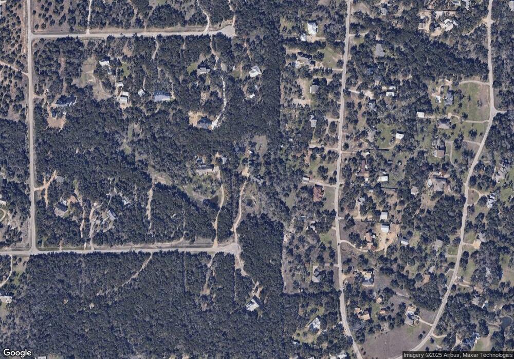
Map
Nearby Homes
- 16 Tall Oaks Trail
- 11809 Oak Branch Dr
- 33 Long Creek Rd
- 400 Sundown Ridge
- 12621 Fitzhugh Rd
- 609 Stone View Trail
- 188 Rock Vista Run
- 3 Heritage Oaks Dr
- 407 Stone View Trail
- 394 Ledge Stone Dr
- 370 Ledge Stone Dr
- 199 Limestone Trail
- 12904 Wells Fargo St
- 12605 Fitzhugh Rd
- 281 Colonial Affair
- 11205 Oak Branch Dr
- TBD Fitzhugh Rd
- 12600 Trail Driver St
- 13005 D Fitzhugh Rd
- 14610 Fitzhugh Rd
- 13631 Trails End
- 20 Tall Oaks Trail
- 18 Tall Oaks Trail
- 22 Tall Oaks Trail
- 250 Garrett St
- 13601 Trails End
- 24 Tall Oaks Trail
- 238 Garrett St
- 19 Tall Oaks Trail
- 107 Longwood Rd
- 17 Tall Oaks Trail
- 26 Tall Oaks Trail
- 200 Garrett St
- 21 Tall Oaks Trail
- 14 Tall Oaks Trail
- 13650 Trails End
- 23 Tall Oaks Trail
- 15 Tall Oaks Trail
- 28 Tall Oaks Trail
- 28 Tall Oaks Trail