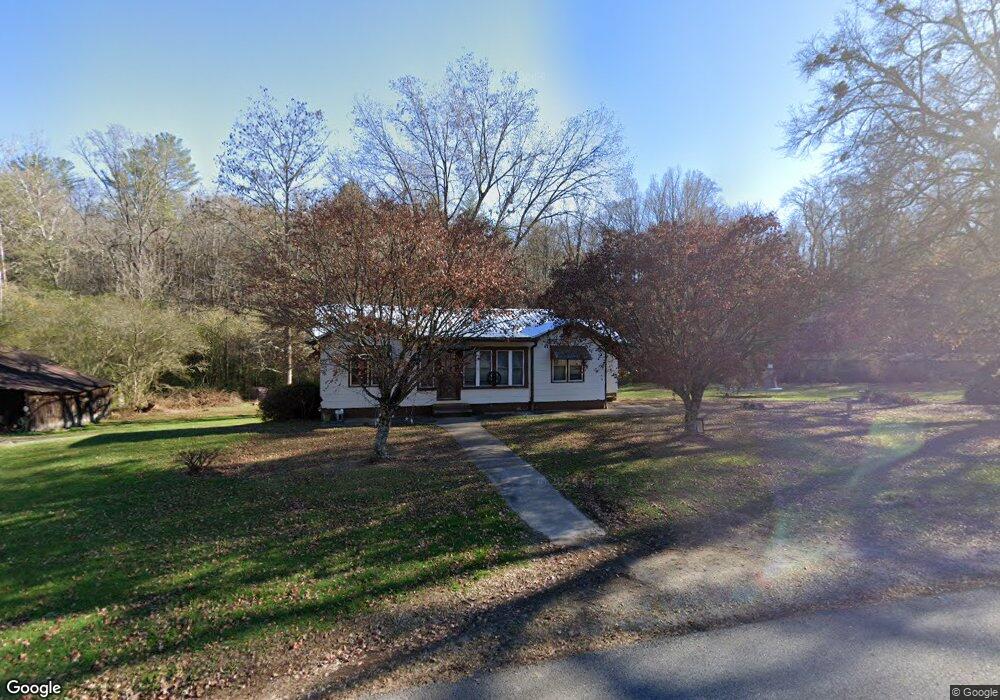
13654 Highway 19 N Cleveland, GA 30528
Estimated Value: $504,000
--
Bed
1
Bath
1,504
Sq Ft
$335/Sq Ft
Est. Value
About This Home
This home is located at 13654 Highway 19 N, Cleveland, GA 30528 and is currently estimated at $504,000, approximately $335 per square foot. 13654 Highway 19 N is a home located in Lumpkin County with nearby schools including Lumpkin County High School.
Ownership History
Date
Name
Owned For
Owner Type
Purchase Details
Closed on
Oct 12, 2020
Sold by
Turner Otis Ferguson
Bought by
Saul Robert Mark
Current Estimated Value
Purchase Details
Closed on
Oct 15, 2019
Sold by
Turner Otis
Bought by
Bray Brooke
Purchase Details
Closed on
Mar 20, 2019
Sold by
Turner Otis
Bought by
Piscah Baptist Church
Purchase Details
Closed on
May 8, 1997
Bought by
Turner Otis
Create a Home Valuation Report for This Property
The Home Valuation Report is an in-depth analysis detailing your home's value as well as a comparison with similar homes in the area
Home Values in the Area
Average Home Value in this Area
Purchase History
| Date | Buyer | Sale Price | Title Company |
|---|---|---|---|
| Saul Robert Mark | $244,596 | -- | |
| Bray Brooke | $5,000 | -- | |
| Piscah Baptist Church | $60,000 | -- | |
| Turner Otis | -- | -- |
Source: Public Records
Tax History Compared to Growth
Tax History
| Year | Tax Paid | Tax Assessment Tax Assessment Total Assessment is a certain percentage of the fair market value that is determined by local assessors to be the total taxable value of land and additions on the property. | Land | Improvement |
|---|---|---|---|---|
| 2024 | $3,619 | $153,865 | $143,634 | $10,231 |
| 2023 | $3,312 | $140,807 | $130,576 | $10,231 |
| 2022 | $2,947 | $119,045 | $108,814 | $10,231 |
| 2021 | $2,504 | $119,045 | $108,814 | $10,231 |
| 2020 | $3,021 | $114,504 | $104,273 | $10,231 |
| 2019 | $2,773 | $154,849 | $134,525 | $20,324 |
| 2018 | $2 | $153,845 | $134,525 | $19,320 |
| 2017 | $0 | $153,663 | $134,525 | $19,138 |
| 2016 | $4,279 | $152,698 | $134,525 | $18,173 |
| 2015 | -- | $152,698 | $134,525 | $18,173 |
| 2014 | -- | $153,050 | $134,525 | $18,525 |
| 2013 | -- | $153,402 | $134,525 | $18,877 |
Source: Public Records
Map
Nearby Homes
- 532 Highland Trail
- 310 Highland Trail
- 0 Highway 129 N Unit 10601810
- 169 Dunns Rd
- 129 Pine Rd
- 15103 Highway 19 N
- 31 Pine Rd
- 802 Pine Knot Dr
- 275 Corinth Church Rd
- 0 Corinth Church Rd Unit 413322
- 0 Corinth Church Rd Unit 10463002
- 0 Corinth Church Rd Unit 7527787
- 457 Celie Ann Seabolt Rd
- 147 Hester Gap Rd
- 0 Damascus Church Rd Unit 21674636
- 11161 Highway 19 N
- 0 Paradise Valley Rd Unit 10468779
- T S T S Jarrard Rd
- 0 Ts Jarrard Rd Unit TRACT 3
- 0 Ts Jarrard Rd Unit Tract 3
- 13549 Highway 19 N
- 0000 Hester Valley Rd
- 166 Hester Valley Rd
- 13550 Highway 19 N
- 13701 Highway 19 N
- 361 Dicks Creek Rd
- 13405 Highway 19 N
- 876 Highland Trail
- 233 Hester Valley Rd
- 532 Highland Trail Unit 1
- 447 Highland Trail
- 500 Highland Trail
- 500 Highland Trail Unit 2
- 0 Highland Trail Unit 8215724
- 0 Highland Trail Unit LOT 7 2917286
- 0 Highland Trail Unit 8 7408740
- 0 Highland Trail Unit 8 7534722
- 0 Highland Trail Unit 8 8006756
- Lot 11 Highland Trail
- Lot 6 Highland Trail