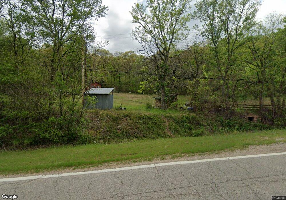
13656 Highway 82 N Spavinaw, OK 74366
Estimated Value: $111,000 - $131,522
2
Beds
1
Bath
1,650
Sq Ft
$72/Sq Ft
Est. Value
About This Home
This home is located at 13656 Highway 82 N, Spavinaw, OK 74366 and is currently estimated at $119,507, approximately $72 per square foot. 13656 Highway 82 N is a home located in Mayes County with nearby schools including Jay Elementary School, Jay Upper Elementary School, and Jay Middle School.
Ownership History
Date
Name
Owned For
Owner Type
Purchase Details
Closed on
Jun 13, 2017
Sold by
Cox Fred H and Cox Coral E
Bought by
Webb Victor L and Webb Melissa D
Current Estimated Value
Home Financials for this Owner
Home Financials are based on the most recent Mortgage that was taken out on this home.
Original Mortgage
$57,000
Outstanding Balance
$47,298
Interest Rate
4.02%
Mortgage Type
New Conventional
Estimated Equity
$72,209
Create a Home Valuation Report for This Property
The Home Valuation Report is an in-depth analysis detailing your home's value as well as a comparison with similar homes in the area
Home Values in the Area
Average Home Value in this Area
Purchase History
| Date | Buyer | Sale Price | Title Company |
|---|---|---|---|
| Webb Victor L | -- | F & M Bank |
Source: Public Records
Mortgage History
| Date | Status | Borrower | Loan Amount |
|---|---|---|---|
| Open | Webb Victor L | $57,000 |
Source: Public Records
Tax History Compared to Growth
Tax History
| Year | Tax Paid | Tax Assessment Tax Assessment Total Assessment is a certain percentage of the fair market value that is determined by local assessors to be the total taxable value of land and additions on the property. | Land | Improvement |
|---|---|---|---|---|
| 2025 | $509 | $7,036 | $1,930 | $5,106 |
| 2024 | $497 | $6,830 | $1,874 | $4,956 |
| 2023 | $497 | $6,631 | $1,805 | $4,826 |
| 2022 | $466 | $6,438 | $1,760 | $4,678 |
| 2021 | $394 | $6,251 | $1,679 | $4,572 |
| 2020 | $393 | $6,069 | $1,612 | $4,457 |
| 2019 | $381 | $5,892 | $1,579 | $4,313 |
| 2018 | $529 | $6,720 | $1,848 | $4,872 |
| 2017 | $361 | $5,554 | $1,470 | $4,084 |
| 2016 | $345 | $5,393 | $1,355 | $4,038 |
| 2015 | $301 | $5,393 | $1,355 | $4,038 |
| 2014 | $301 | $5,393 | $1,355 | $4,038 |
Source: Public Records
Map
Nearby Homes
- 0 E 427 Rd Unit 2531895
- 213 Cherokee St Unit Block 2, Lots 14, 15
- 215 & 217 N Cherokee St
- Unassigned First Street & Ross Ave Unit Block 8 - Lots 1-8
- Unassigned First St Unit Block 5 - Lots 1-4 &
- 105 Oak St
- 210 N Baldwin Ave
- 502 Woodland Dr
- 341 E 437
- 15152 N Hwy 82
- 11795 E Highway 20
- 5150 N 445 Dr
- 10080 E 420
- 400 W Tulsa
- 9207 N 447 Rd
- 10010 N Highway 82
- 101 Front St
- 107 Spring St
- 3537 NE 4448 Dr
- 55 Lakewood Estate Dr
- 663 Hwy 82 Hwy
- 665 Hwy 82 Hwy
- 13681 Highway 82 N
- 11590 E 427
- 311 N Cherokee St
- 220 N Main St
- 309 N Cherokee St
- 0 E 427 Rd Unit 2343867
- 0 E 427 Rd Unit 1810073
- 0 E 427 Rd Unit 1912312
- 0 E 427 Rd Unit 2000090
- 0 E 427 Rd Unit 2030294
- 210 Rogers Ave
- 415711 Lakeshore
- 415711 Lakeshore Srive
- 11546 E 427
- 305 Cherokee Trail
- 305 Cherokee St
- 208 N Main St
- 302 Cherokee St