1366 Jim McCall Rd Morganton, NC 28655
Estimated Value: $310,570 - $376,000
4
Beds
3
Baths
2,284
Sq Ft
$151/Sq Ft
Est. Value
About This Home
This home is located at 1366 Jim McCall Rd, Morganton, NC 28655 and is currently estimated at $345,143, approximately $151 per square foot. 1366 Jim McCall Rd is a home located in Burke County with nearby schools including Walter R. Johnson Middle School and Freedom High School.
Ownership History
Date
Name
Owned For
Owner Type
Purchase Details
Closed on
Aug 29, 2017
Sold by
Vandyke Linda Jean and Lukeman Edward
Bought by
Yelton James and Yelton Mona Louise
Current Estimated Value
Home Financials for this Owner
Home Financials are based on the most recent Mortgage that was taken out on this home.
Original Mortgage
$142,000
Outstanding Balance
$118,992
Interest Rate
4.03%
Mortgage Type
Adjustable Rate Mortgage/ARM
Estimated Equity
$226,151
Create a Home Valuation Report for This Property
The Home Valuation Report is an in-depth analysis detailing your home's value as well as a comparison with similar homes in the area
Home Values in the Area
Average Home Value in this Area
Purchase History
| Date | Buyer | Sale Price | Title Company |
|---|---|---|---|
| Yelton James | $142,000 | Attorney |
Source: Public Records
Mortgage History
| Date | Status | Borrower | Loan Amount |
|---|---|---|---|
| Open | Yelton James | $142,000 |
Source: Public Records
Tax History
| Year | Tax Paid | Tax Assessment Tax Assessment Total Assessment is a certain percentage of the fair market value that is determined by local assessors to be the total taxable value of land and additions on the property. | Land | Improvement |
|---|---|---|---|---|
| 2025 | $1,231 | $166,246 | $17,876 | $148,370 |
| 2024 | $1,235 | $166,246 | $17,876 | $148,370 |
| 2023 | $1,235 | $166,246 | $17,876 | $148,370 |
| 2022 | $1,119 | $125,692 | $14,180 | $111,512 |
| 2021 | $1,113 | $125,692 | $14,180 | $111,512 |
| 2020 | $1,059 | $125,692 | $14,180 | $111,512 |
| 2019 | $1,059 | $125,692 | $14,180 | $111,512 |
| 2018 | $1,008 | $119,277 | $14,180 | $105,097 |
| 2017 | $906 | $105,838 | $11,344 | $94,494 |
| 2016 | $874 | $105,838 | $11,344 | $94,494 |
| 2015 | $871 | $105,838 | $11,344 | $94,494 |
| 2014 | $867 | $105,838 | $11,344 | $94,494 |
| 2013 | $867 | $105,838 | $11,344 | $94,494 |
Source: Public Records
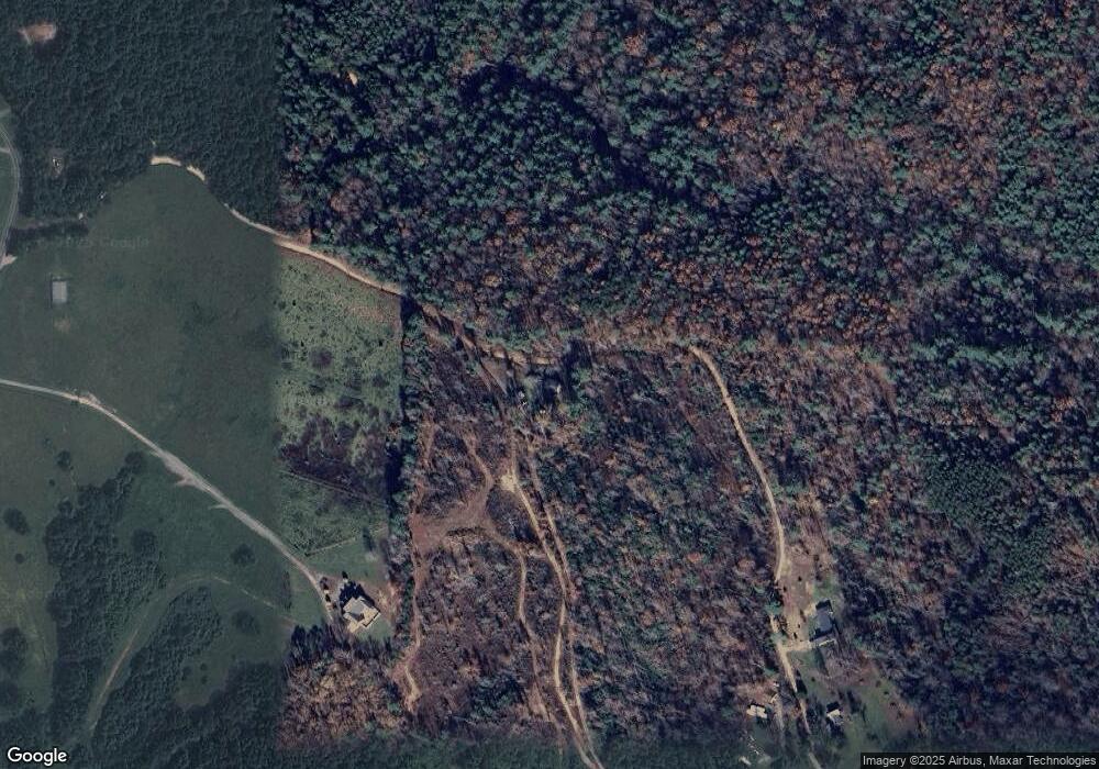
Map
Nearby Homes
- 0 Jim McCall Rd
- 2113 Robert Dr Unit 18
- 2091 Robert Dr
- 1028 Table View Dr Unit 67
- 2043 Robert Dr Unit 10
- 2112 Robert Dr Unit 23
- 2039 Robert Dr Unit 9
- 2080 Robert Dr Unit 25
- 1040 Table View Dr Unit 65
- 2019 Robert Dr Unit 6
- 1044 Table View Dr Unit 64
- 2068 Robert Dr Unit 27
- 1106 Table View Dr Unit Lot 50
- 1048 Table View Dr Unit 63
- 1111 Table View Dr
- 1045 Table View Dr Unit 34
- 1045 Table View Dr
- 1099 Table View Dr Unit 43
- 1091 Table View Dr Unit 42
- 1087 Table View Dr Unit 41
- 1602 Jim McCall Rd
- 3998 Pax Hill Rd
- 1525 Jim McCall Rd
- 1485 Jim McCall Rd Unit 1525
- 1223 Jim McCall Rd
- 1545 Jim McCall Rd
- 4163 Pax Hill Rd
- 4059 Pax Hill Rd
- 4193 Pax Hill Rd
- 4229 Pax Hill Rd
- 4240 Pax Hill Rd
- 4099 Pax Hill Rd
- 2787 Weaver Ridge Dr Unit 1
- 4075 Pax Hill Rd
- 3958 Pax Hill Rd
- 4304 Pax Hill Rd
- 4303 Pax Hill Rd Unit 13
- 4045 Pax Hill Rd
- 4219 Pax Hill Rd
- 4333 Pax Hill Rd
Your Personal Tour Guide
Ask me questions while you tour the home.