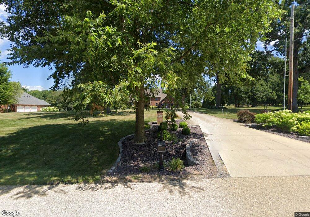
1366 Mount Zion Rd Eureka, IL 61530
Estimated Value: $479,000 - $619,490
--
Bed
--
Bath
--
Sq Ft
1.8
Acres
About This Home
This home is located at 1366 Mount Zion Rd, Eureka, IL 61530 and is currently estimated at $561,163. 1366 Mount Zion Rd is a home with nearby schools including Eureka High School.
Ownership History
Date
Name
Owned For
Owner Type
Purchase Details
Closed on
Apr 17, 2020
Sold by
Honeg Mark W and Honeg Robin C
Bought by
Reeb Richard E and Reeb Rachel L
Current Estimated Value
Home Financials for this Owner
Home Financials are based on the most recent Mortgage that was taken out on this home.
Original Mortgage
$475,000
Outstanding Balance
$417,547
Interest Rate
3%
Mortgage Type
New Conventional
Estimated Equity
$143,616
Create a Home Valuation Report for This Property
The Home Valuation Report is an in-depth analysis detailing your home's value as well as a comparison with similar homes in the area
Home Values in the Area
Average Home Value in this Area
Purchase History
| Date | Buyer | Sale Price | Title Company |
|---|---|---|---|
| Reeb Richard E | $500,000 | Black Black & Brown |
Source: Public Records
Mortgage History
| Date | Status | Borrower | Loan Amount |
|---|---|---|---|
| Open | Reeb Richard E | $475,000 |
Source: Public Records
Tax History Compared to Growth
Tax History
| Year | Tax Paid | Tax Assessment Tax Assessment Total Assessment is a certain percentage of the fair market value that is determined by local assessors to be the total taxable value of land and additions on the property. | Land | Improvement |
|---|---|---|---|---|
| 2024 | $13,831 | $198,988 | $31,709 | $167,279 |
| 2023 | $12,296 | $181,974 | $28,998 | $152,976 |
| 2022 | $11,697 | $169,530 | $27,015 | $142,515 |
| 2021 | $11,384 | $160,085 | $25,510 | $134,575 |
| 2020 | $11,295 | $160,069 | $25,507 | $134,562 |
| 2019 | $11,087 | $161,132 | $25,676 | $135,456 |
| 2018 | $11,197 | $161,083 | $25,668 | $135,415 |
| 2017 | $11,186 | $159,488 | $25,414 | $134,074 |
| 2016 | $11,318 | $159,488 | $25,414 | $134,074 |
| 2015 | $8,597 | $155,507 | $24,780 | $130,727 |
| 2014 | $8,597 | $147,342 | $24,140 | $123,202 |
| 2013 | $8,597 | $147,342 | $24,140 | $123,202 |
Source: Public Records
Map
Nearby Homes
- 107 N Darst St
- 402 E Pearson St
- 608 W Burton Ave
- 607 S Main St
- 609 & 611 Burgess St
- 933 E James St
- 941 E James St
- 949 E James St
- 1202 Tazewood Rd
- 932 E James St
- 989 E James St
- 308 Thomas Ct
- 964 E James St
- 309 Thomas Ct
- 310 Thomas Ct
- 1008 Lister Ln
- 208 Reagan Dr
- 311 Thomas Ct
- 1014 Lister Ln
- 200 Logsdon Ct
- 1364 Mount Zion Rd
- 1362 Mount Zion Rd
- 1360 Mount Zion Rd
- 215 Edgewood Rd
- 219 Edgewood Rd
- 1367 Mount Zion Rd
- 211 Edgewood Rd
- 1358 Mount Zion Rd
- 1357 Mount Zion Rd
- 207 Edgewood Rd
- 214 Edgewood Rd
- 1356 Mount Zion Rd
- 210 Edgewood Rd
- 218 Edgewood Rd
- 214 Shady Ln
- 203 Edgewood Rd
- 215 Shady Ln
- Lot 8 & Lot 9 Mount Zion Rd
- Lot 8 & 9 Mount Zion Rd
- Lot 7 Mount Zion Rd