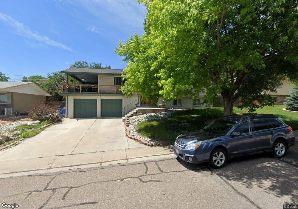
13660 W Alaska Dr Lakewood, CO 80228
Green Mountain NeighborhoodEstimated Value: $719,637 - $852,000
5
Beds
5
Baths
1,294
Sq Ft
$603/Sq Ft
Est. Value
About This Home
This home is located at 13660 W Alaska Dr, Lakewood, CO 80228 and is currently estimated at $780,409, approximately $603 per square foot. 13660 W Alaska Dr is a home located in Jefferson County with nearby schools including Foothills Elementary School, Dunstan Middle School, and Green Mountain High School.
Ownership History
Date
Name
Owned For
Owner Type
Purchase Details
Closed on
Apr 21, 2000
Sold by
Post Richard A
Bought by
Moore Christopher H and Moore Marla L
Current Estimated Value
Home Financials for this Owner
Home Financials are based on the most recent Mortgage that was taken out on this home.
Original Mortgage
$215,100
Interest Rate
8.24%
Create a Home Valuation Report for This Property
The Home Valuation Report is an in-depth analysis detailing your home's value as well as a comparison with similar homes in the area
Home Values in the Area
Average Home Value in this Area
Purchase History
| Date | Buyer | Sale Price | Title Company |
|---|---|---|---|
| Moore Christopher H | $239,000 | Land Title Guarantee Company | |
| Moore Christopher H | $239,000 | Land Title Guarantee Company |
Source: Public Records
Mortgage History
| Date | Status | Borrower | Loan Amount |
|---|---|---|---|
| Previous Owner | Moore Christopher H | $215,100 |
Source: Public Records
Tax History Compared to Growth
Tax History
| Year | Tax Paid | Tax Assessment Tax Assessment Total Assessment is a certain percentage of the fair market value that is determined by local assessors to be the total taxable value of land and additions on the property. | Land | Improvement |
|---|---|---|---|---|
| 2024 | $3,822 | $42,381 | $24,996 | $17,385 |
| 2023 | $3,822 | $42,381 | $24,996 | $17,385 |
| 2022 | $3,173 | $34,389 | $15,927 | $18,462 |
| 2021 | $3,218 | $35,379 | $16,386 | $18,993 |
| 2020 | $2,687 | $29,671 | $11,784 | $17,887 |
| 2019 | $2,652 | $29,671 | $11,784 | $17,887 |
| 2018 | $2,544 | $27,532 | $10,083 | $17,449 |
| 2017 | $2,236 | $27,532 | $10,083 | $17,449 |
| 2016 | $2,361 | $27,121 | $10,278 | $16,843 |
| 2015 | $2,090 | $27,121 | $10,278 | $16,843 |
| 2014 | $2,090 | $21,994 | $8,406 | $13,588 |
Source: Public Records
Map
Nearby Homes
- 13561 W Alaska Place
- 783 S Cole Ct
- 14072 W Alaska Dr
- 446 S Fig Way
- 13794 W Kentucky Dr
- 620 S Youngfield Ct Unit 271
- 630 S Youngfield Ct
- 12952 W Virginia Ave
- 962 S Beech St
- 12885 W Alameda Dr Unit 491
- 972 S Beech St
- 563 S Xenon Ct Unit 342
- 754 S Youngfield Ct
- 764 S Youngfield Ct
- 13095 W Cedar Dr Unit 302
- 13093 W Cedar Dr Unit 121
- 13093 W Cedar Dr Unit 322
- 1039 S Alkire St Unit 106
- 663 S Xenon Ct
- 12640 W Virginia Ave
- 13690 W Alaska Dr
- 13650 W Alaska Dr
- 13687 W Virginia Dr
- 13677 W Virginia Dr
- 13697 W Virginia Dr
- 13700 W Alaska Dr
- 590 S Coors Ct
- 607 S Cole Ct
- 13647 W Alaska Dr
- 13665 W Virginia Dr
- 13707 W Virginia Dr
- 617 S Cole Ct
- 13740 W Alaska Dr
- 580 S Coors Ct
- 587 S Cole Ct
- 585 S Coors Ct
- 13737 W Virginia Dr
- 13692 W Virginia Dr
- 606 S Cole Ct
- 13672 W Virginia Dr