13662 W Wild Rose Ln Ash Grove, MO 65604
West Springfield NeighborhoodEstimated Value: $361,000 - $404,000
3
Beds
2
Baths
1,578
Sq Ft
$241/Sq Ft
Est. Value
About This Home
This home is located at 13662 W Wild Rose Ln, Ash Grove, MO 65604 and is currently estimated at $379,658, approximately $240 per square foot. 13662 W Wild Rose Ln is a home located in Greene County with nearby schools including Bois D'Arc Elementary School and Ash Grove High School.
Ownership History
Date
Name
Owned For
Owner Type
Purchase Details
Closed on
Aug 11, 2006
Sold by
Warner Charlotte and Click Matthew
Bought by
Gardner Darry R and Gardner Sonja
Current Estimated Value
Home Financials for this Owner
Home Financials are based on the most recent Mortgage that was taken out on this home.
Original Mortgage
$30,400
Outstanding Balance
$18,242
Interest Rate
6.75%
Mortgage Type
Credit Line Revolving
Estimated Equity
$361,416
Create a Home Valuation Report for This Property
The Home Valuation Report is an in-depth analysis detailing your home's value as well as a comparison with similar homes in the area
Home Values in the Area
Average Home Value in this Area
Purchase History
| Date | Buyer | Sale Price | Title Company |
|---|---|---|---|
| Gardner Darry R | -- | None Available |
Source: Public Records
Mortgage History
| Date | Status | Borrower | Loan Amount |
|---|---|---|---|
| Open | Gardner Darry R | $30,400 | |
| Open | Gardner Darry R | $121,500 |
Source: Public Records
Tax History Compared to Growth
Tax History
| Year | Tax Paid | Tax Assessment Tax Assessment Total Assessment is a certain percentage of the fair market value that is determined by local assessors to be the total taxable value of land and additions on the property. | Land | Improvement |
|---|---|---|---|---|
| 2025 | $1,696 | $40,350 | $7,520 | $32,830 |
| 2024 | $1,696 | $35,210 | $5,680 | $29,530 |
| 2023 | $1,688 | $35,210 | $5,680 | $29,530 |
| 2022 | $1,465 | $30,360 | $5,680 | $24,680 |
| 2021 | $1,461 | $30,360 | $5,680 | $24,680 |
| 2020 | $1,344 | $27,510 | $5,680 | $21,830 |
| 2019 | $1,339 | $27,510 | $5,680 | $21,830 |
| 2018 | $1,235 | $25,900 | $5,680 | $20,220 |
| 2017 | $1,222 | $25,900 | $5,680 | $20,220 |
| 2016 | $1,216 | $25,900 | $5,680 | $20,220 |
| 2015 | $1,212 | $25,900 | $5,680 | $20,220 |
| 2014 | $1,223 | $25,900 | $5,680 | $20,220 |
Source: Public Records
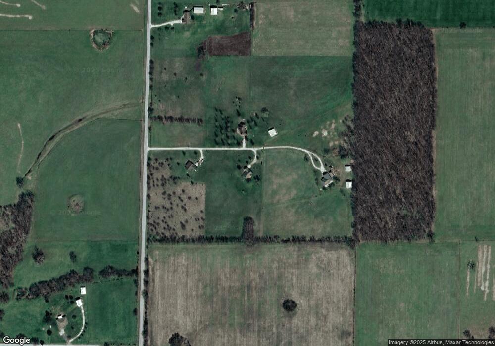
Map
Nearby Homes
- 2898 N Farm Road 17
- 12697 W Farm Road 120
- 3600 Farm Road 39
- Tbd W State Highway T
- 720 N State Highway F
- Tracts 2 & 3 Farm Rd 35 & 39
- 000 W Farm Rd 94 Tract 11
- 000 W Farm Road 94 Tract 1
- 000 W Farm Road 94 Tract 10
- 000 W
- 000 W Farm Road 94 Tract 9
- 000 W Farm Road 116 - Tract 3
- 2459 N Farm Road 63
- 1215 S Spring Lake Ln
- 415 S Piper Ave
- 806 E Grant St
- 203 E Prairie Ln
- 300 S High Ave
- 606 E Prairie Ln
- 12886 W State Route 266
- 13661 W Wild Rose Ln
- 13686 W Wild Rose Ln
- 13638 W Wild Rose Ln
- 2970 N State Highway F
- 3002 Quail Ln
- 3002 Quail Ln
- 2548 N State Highway F
- 2672 N Farm Road 25
- 3082 N State Highway F
- 2869 N State Highway F
- 3031 Quail Ln
- 2665 N Farm Road 25
- 3123 Quail Ln
- 3078 N Quail Ln
- 3078 Quail Ln
- 2817 N Farm Road 25
- 2953 N Farm Road 25
- 2953 N Farm Road 25
- 3001 N Farm Road 25
- 13298 W State Highway T