13669 Route 28 Brockway, PA 15824
Estimated Value: $136,000 - $392,000
--
Bed
--
Bath
1,880
Sq Ft
$144/Sq Ft
Est. Value
About This Home
This home is located at 13669 Route 28, Brockway, PA 15824 and is currently estimated at $271,525, approximately $144 per square foot. 13669 Route 28 is a home located in Jefferson County with nearby schools including Brockway Area Elementary School, Brockway Area Junior/Senior High School, and Hillside School.
Create a Home Valuation Report for This Property
The Home Valuation Report is an in-depth analysis detailing your home's value as well as a comparison with similar homes in the area
Home Values in the Area
Average Home Value in this Area
Tax History Compared to Growth
Tax History
| Year | Tax Paid | Tax Assessment Tax Assessment Total Assessment is a certain percentage of the fair market value that is determined by local assessors to be the total taxable value of land and additions on the property. | Land | Improvement |
|---|---|---|---|---|
| 2025 | $3,823 | $98,570 | $10,270 | $88,300 |
| 2024 | $4,481 | $98,570 | $10,270 | $88,300 |
| 2023 | $3,724 | $98,570 | $10,270 | $88,300 |
| 2022 | $3,724 | $98,570 | $10,270 | $88,300 |
| 2021 | $3,724 | $98,570 | $10,270 | $88,300 |
| 2020 | $3,724 | $98,570 | $10,270 | $88,300 |
| 2019 | $3,562 | $98,570 | $10,270 | $88,300 |
| 2018 | $3,470 | $98,570 | $10,270 | $88,300 |
| 2017 | $3,415 | $98,570 | $10,270 | $88,300 |
| 2016 | $3,110 | $98,570 | $10,270 | $88,300 |
| 2015 | -- | $98,570 | $10,270 | $88,300 |
| 2012 | -- | $74,370 | $10,270 | $64,100 |
Source: Public Records
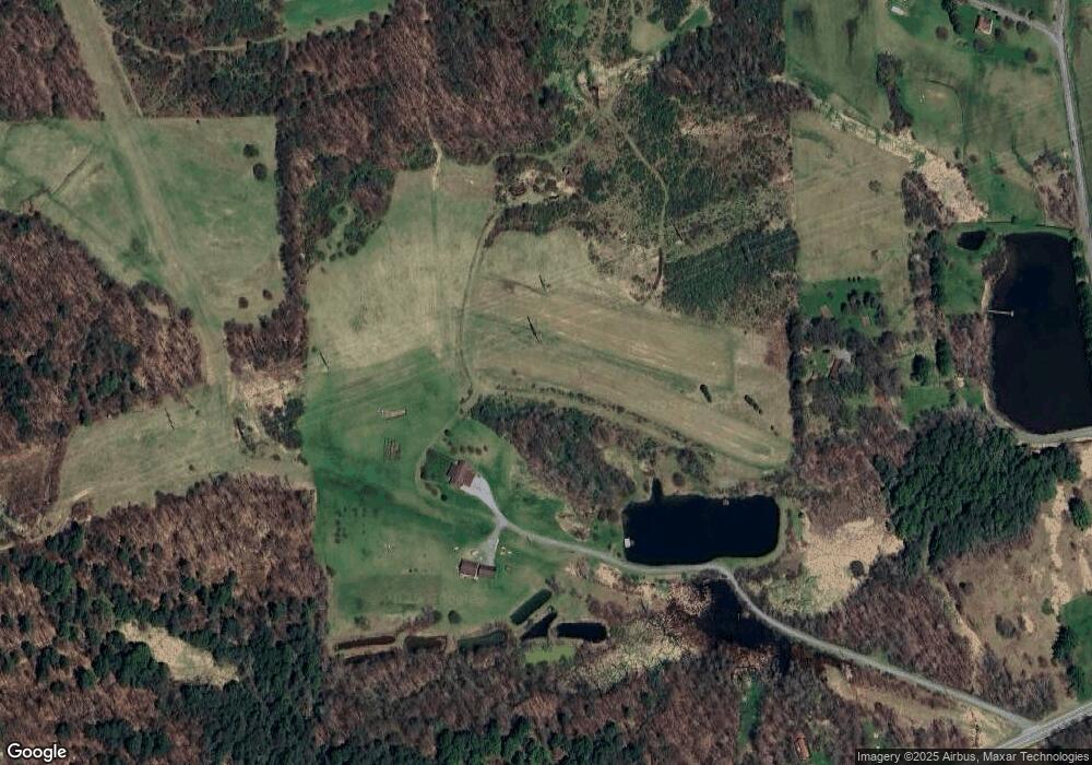
Map
Nearby Homes
- 19 Salandra Ln
- 1074 10th Ave
- 970 Baghdad Rd
- 0 Coal Glen Rd
- 1549 Main St
- 0 U S 219
- 924 Elm St
- 5546 Stevenson Hill Rd
- 7956 U S 219
- 725 Russel Rd
- 425 Zuccolotto Ln
- 00 Pennsylvania 830
- 1083 Rattlesnake Rd
- 3539 Stevenson Hill Rd
- 5850 U S 219
- 10217 Pennsylvania 28
- 559 Buskirk Rd
- 101 Howard Rd
- 3243 Stevenson Hill Rd
- 1032 Beechtree Rd