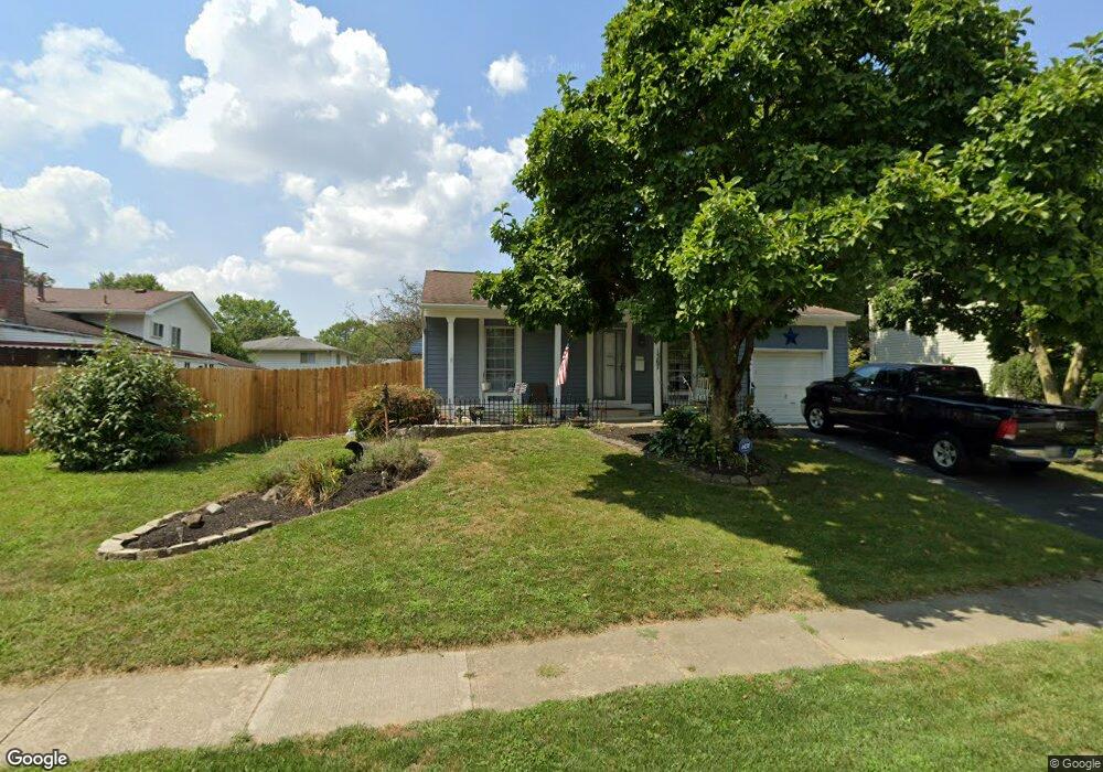
1367 Westshire Rd Columbus, OH 43204
Brookshire NeighborhoodEstimated Value: $232,131 - $260,000
4
Beds
1
Bath
1,046
Sq Ft
$231/Sq Ft
Est. Value
About This Home
This home is located at 1367 Westshire Rd, Columbus, OH 43204 and is currently estimated at $242,033, approximately $231 per square foot. 1367 Westshire Rd is a home located in Franklin County with nearby schools including James A Harmon Elementary School, Franklin Woods Intermediate School, and Finland Middle School.
Ownership History
Date
Name
Owned For
Owner Type
Purchase Details
Closed on
Oct 28, 1999
Sold by
Pauley Willa D and Pauley Willa Dawn
Bought by
Pauley James M and Pauley James Michael
Current Estimated Value
Purchase Details
Closed on
Jul 12, 1997
Sold by
Young Patricia S and Estates Of M Feen
Bought by
Pauley James M and Pauley Willa D
Home Financials for this Owner
Home Financials are based on the most recent Mortgage that was taken out on this home.
Original Mortgage
$84,637
Outstanding Balance
$12,604
Interest Rate
7.94%
Mortgage Type
FHA
Estimated Equity
$229,429
Create a Home Valuation Report for This Property
The Home Valuation Report is an in-depth analysis detailing your home's value as well as a comparison with similar homes in the area
Home Values in the Area
Average Home Value in this Area
Purchase History
| Date | Buyer | Sale Price | Title Company |
|---|---|---|---|
| Pauley James M | -- | -- | |
| Pauley James M | $85,000 | Title First Agency Inc |
Source: Public Records
Mortgage History
| Date | Status | Borrower | Loan Amount |
|---|---|---|---|
| Open | Pauley James M | $84,637 |
Source: Public Records
Tax History Compared to Growth
Tax History
| Year | Tax Paid | Tax Assessment Tax Assessment Total Assessment is a certain percentage of the fair market value that is determined by local assessors to be the total taxable value of land and additions on the property. | Land | Improvement |
|---|---|---|---|---|
| 2024 | $3,150 | $86,390 | $14,810 | $71,580 |
| 2023 | $3,094 | $86,390 | $14,810 | $71,580 |
| 2022 | $2,667 | $54,640 | $10,470 | $44,170 |
| 2021 | $2,720 | $54,640 | $10,470 | $44,170 |
| 2020 | $2,705 | $54,640 | $10,470 | $44,170 |
| 2019 | $2,635 | $46,970 | $9,100 | $37,870 |
| 2018 | $2,410 | $46,970 | $9,100 | $37,870 |
| 2017 | $2,404 | $46,970 | $9,100 | $37,870 |
| 2016 | $2,198 | $36,330 | $5,460 | $30,870 |
| 2015 | $2,198 | $36,330 | $5,460 | $30,870 |
| 2014 | $2,200 | $36,330 | $5,460 | $30,870 |
| 2013 | $1,212 | $40,355 | $6,055 | $34,300 |
Source: Public Records
Map
Nearby Homes
- 1465 Tall Meadows Dr
- 2987 Daisy Ln
- 1520 Fall Brook Rd
- 1181 Onslow Dr
- 1248 Gresham Rd
- 1226 Pinnacle Dr
- 3326 Bluhm Ct
- 2929 Briggs Rd
- 2856 Chesfield Dr
- 1657 Ripplebrook Rd
- 1243 Trevor Ct
- 1037 Chestershire Rd
- 2800 Alkire Rd
- 1027 S Brinker Ave
- 3360 Briggs Rd
- 2930 Alkire Rd
- 3029 Rosedale Ave
- 3318 Miriam Dr S
- 894 Binns Blvd
- 1485 Demorest Rd
- 1359 Westshire Rd
- 3164 Vauxhall Dr
- 1349 Westshire Rd
- 1372 Westshire Rd
- 1364 Westshire Rd
- 1382 Westshire Rd
- 1356 Westshire Rd
- 1338 Vauxhall Place
- 1341 Westshire Rd
- 1395 Westshire Rd
- 1390 Westshire Rd
- 1348 Westshire Rd
- 3167 Vauxhall Dr
- 1331 Westshire Rd
- 1355 Vauxhall Place
- 1400 Westshire Rd
- 1367 Vauxhall Place
- 3177 Vauxhall Dr
- 1340 Westshire Rd
- 1330 Vauxhall Place