1367 Wildcat Dr Unit 82 Murphy, NC 28906
Estimated Value: $413,000 - $484,363
2
Beds
2
Baths
1,848
Sq Ft
$244/Sq Ft
Est. Value
About This Home
This home is located at 1367 Wildcat Dr Unit 82, Murphy, NC 28906 and is currently estimated at $450,091, approximately $243 per square foot. 1367 Wildcat Dr Unit 82 is a home located in Cherokee County with nearby schools including Murphy Elementary School, Murphy Middle School, and Murphy High School.
Ownership History
Date
Name
Owned For
Owner Type
Purchase Details
Closed on
Nov 30, 2023
Sold by
Littlewood Thomas W and Littlewood Paula J
Bought by
Smith Trust and Smith
Current Estimated Value
Home Financials for this Owner
Home Financials are based on the most recent Mortgage that was taken out on this home.
Original Mortgage
$100,000
Outstanding Balance
$98,298
Interest Rate
7.63%
Mortgage Type
New Conventional
Estimated Equity
$351,793
Purchase Details
Closed on
Sep 1, 1999
Bought by
Littlewood Thomas W and Littlewood W
Create a Home Valuation Report for This Property
The Home Valuation Report is an in-depth analysis detailing your home's value as well as a comparison with similar homes in the area
Home Values in the Area
Average Home Value in this Area
Purchase History
| Date | Buyer | Sale Price | Title Company |
|---|---|---|---|
| Smith Trust | $500,000 | None Listed On Document | |
| Littlewood Thomas W | $30,000 | -- |
Source: Public Records
Mortgage History
| Date | Status | Borrower | Loan Amount |
|---|---|---|---|
| Open | Smith Trust | $100,000 |
Source: Public Records
Tax History Compared to Growth
Tax History
| Year | Tax Paid | Tax Assessment Tax Assessment Total Assessment is a certain percentage of the fair market value that is determined by local assessors to be the total taxable value of land and additions on the property. | Land | Improvement |
|---|---|---|---|---|
| 2025 | $1,630 | $229,230 | $0 | $0 |
| 2024 | $1,561 | $229,230 | $0 | $0 |
| 2023 | $1,551 | $229,230 | $0 | $0 |
| 2022 | $1,551 | $229,230 | $0 | $0 |
| 2021 | $1,299 | $229,230 | $27,000 | $202,230 |
| 2020 | $1,207 | $229,230 | $0 | $0 |
| 2019 | $1,146 | $191,940 | $0 | $0 |
| 2018 | $1,146 | $191,940 | $0 | $0 |
| 2017 | $1,217 | $204,660 | $0 | $0 |
| 2016 | $1,217 | $204,660 | $0 | $0 |
| 2015 | $1,217 | $204,660 | $42,120 | $162,540 |
| 2012 | -- | $204,660 | $42,120 | $162,540 |
Source: Public Records
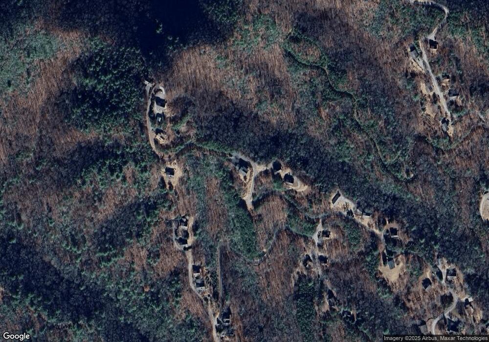
Map
Nearby Homes
- 116 Red Bud Ln
- Lot 12 Kaitlan Ln
- 515 Laurel Cove Rd
- 245 Roll Tide Dr
- 101 Hickory Nut Ln
- 200 Hickory Nut Ln
- 96 Holiday Dr
- 319 Woodside Acres Dr
- Lot 54 Somerset Ridge Dr
- 729 Canterbury Rd
- Lot 10 Holly Hill Ridge
- 805 Hiwassee St
- 1033 Cardinal Rd
- LT 35 Crested Eagle Ln
- Lot 31 Crested Eagle Ln
- Lot 20 Patriot Ridge
- 20 Patriot Ridge
- 727 Hiwassee St
- 1117 Hiwassee St
- 159 Patriot Ridge
- 1367 Wildcat Dr
- 1324 Wildcat Dr
- 1244 Wildcat Dr
- 1507 Wildcat Dr
- 134 Longview Dr
- 1508 Wildcat Dr
- 96 Longview Dr
- 1600 Wildcat Dr
- 33 Ellis Ln
- 80 Longview Dr
- 62 Ellis Ln
- n/a Longview Dr
- 137 Longview Dr
- #137 Longview Dr
- 62 Ellis Ln
- 36 Longview Dr
- 1543 Wildcat Dr
- 65 Ellis Ln
- 1136 Wildcat Dr
- 223 Alto Vista Rd