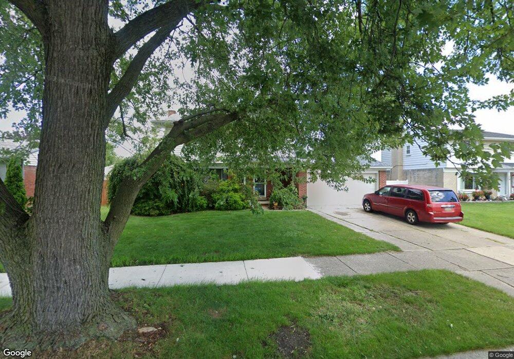
13670 Karl St Unit Bldg-Unit Southgate, MI 48195
Estimated Value: $268,870 - $286,000
3
Beds
3
Baths
1,660
Sq Ft
$167/Sq Ft
Est. Value
About This Home
This home is located at 13670 Karl St Unit Bldg-Unit, Southgate, MI 48195 and is currently estimated at $276,468, approximately $166 per square foot. 13670 Karl St Unit Bldg-Unit is a home located in Wayne County with nearby schools including Fordline Elementary School, Davidson Middle School, and Southgate Anderson High School.
Ownership History
Date
Name
Owned For
Owner Type
Purchase Details
Closed on
Jun 28, 2018
Sold by
Kinser Colin L
Bought by
Hayes Michael
Current Estimated Value
Purchase Details
Closed on
May 18, 2007
Sold by
Joslin Thomas L and Joslin Karen S
Bought by
Kinser Colin L
Create a Home Valuation Report for This Property
The Home Valuation Report is an in-depth analysis detailing your home's value as well as a comparison with similar homes in the area
Home Values in the Area
Average Home Value in this Area
Purchase History
| Date | Buyer | Sale Price | Title Company |
|---|---|---|---|
| Hayes Michael | $170,000 | Michigan Title Ins Agnecy In | |
| Kinser Colin L | -- | Michigan Title Insurance Age | |
| Kinser Colin L | $180,000 | Minnesota Title Agency |
Source: Public Records
Tax History Compared to Growth
Tax History
| Year | Tax Paid | Tax Assessment Tax Assessment Total Assessment is a certain percentage of the fair market value that is determined by local assessors to be the total taxable value of land and additions on the property. | Land | Improvement |
|---|---|---|---|---|
| 2025 | $3,951 | $110,100 | $0 | $0 |
| 2024 | $3,951 | $104,300 | $0 | $0 |
| 2023 | $3,770 | $96,400 | $0 | $0 |
| 2022 | $4,367 | $88,000 | $0 | $0 |
| 2021 | $4,250 | $78,400 | $0 | $0 |
| 2020 | $4,178 | $73,100 | $0 | $0 |
| 2019 | $4,126 | $70,100 | $0 | $0 |
| 2018 | $3,237 | $65,300 | $0 | $0 |
| 2017 | $1,332 | $61,900 | $0 | $0 |
| 2016 | $3,037 | $57,200 | $0 | $0 |
| 2015 | $4,724 | $48,800 | $0 | $0 |
| 2013 | $4,690 | $48,000 | $0 | $0 |
| 2012 | $2,752 | $46,000 | $6,700 | $39,300 |
Source: Public Records
Map
Nearby Homes
- 13550 Karl St
- 13497 Mark St
- 13543 Poplar St
- 0 Poplar St
- 13367 Fordline St
- 13787 Irene St
- 13632 Pearl St
- 12792 Elaine Dr
- 14394 Windemere St
- 13199 Irene St
- 13728 Agnes St
- 14618 Fordline St
- 13410 Longtin St
- 14370 Pearl St
- 12685 Fordline St
- ESSEX Plan at Woodland Ridge
- DUPONT Plan at Woodland Ridge
- 15308 Woodland Ridge Dr
- 14791 Windermere St
- 12900 Churchill Ave
- 13670 Karl St
- 13656 Karl St
- 13651 Windemere St
- 13586 Karl St
- 13612 Karl St
- 13639 Windemere St
- 13673 Karl St
- 13685 Karl St
- 13574 Karl St
- 13661 Karl St
- 13627 Windemere St
- 13649 Karl St
- 13672 Windemere St
- 13562 Karl St
- 13664 Windemere St
- 13684 Windemere St
- 13648 Windemere St
- 13737 Windemere St
- 13637 Karl St
- 13615 Windemere St