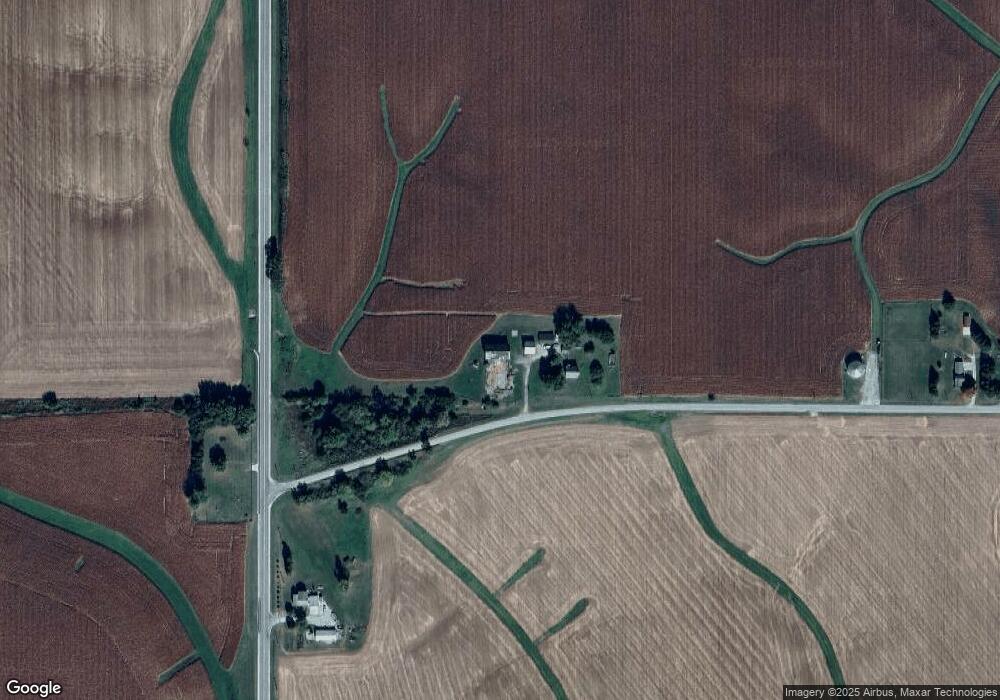
13670 Rick Rd Morrison, IL 61270
Estimated Value: $153,000
4
Beds
1
Bath
1,700
Sq Ft
$90/Sq Ft
Est. Value
About This Home
This home is located at 13670 Rick Rd, Morrison, IL 61270 and is currently estimated at $153,000, approximately $90 per square foot. 13670 Rick Rd is a home located in Whiteside County with nearby schools including Northside School, Southside School, and Morrison Junior High School.
Ownership History
Date
Name
Owned For
Owner Type
Purchase Details
Closed on
Nov 5, 2008
Sold by
Hensler Sally May
Bought by
Hunt Gregory
Current Estimated Value
Home Financials for this Owner
Home Financials are based on the most recent Mortgage that was taken out on this home.
Original Mortgage
$112,350
Outstanding Balance
$73,859
Interest Rate
6.11%
Mortgage Type
VA
Estimated Equity
$79,141
Create a Home Valuation Report for This Property
The Home Valuation Report is an in-depth analysis detailing your home's value as well as a comparison with similar homes in the area
Purchase History
| Date | Buyer | Sale Price | Title Company |
|---|---|---|---|
| Hunt Gregory | $110,000 | None Available |
Source: Public Records
Mortgage History
| Date | Status | Borrower | Loan Amount |
|---|---|---|---|
| Open | Hunt Gregory | $112,350 |
Source: Public Records
Tax History
| Year | Tax Paid | Tax Assessment Tax Assessment Total Assessment is a certain percentage of the fair market value that is determined by local assessors to be the total taxable value of land and additions on the property. | Land | Improvement |
|---|---|---|---|---|
| 2024 | $1,683 | $34,130 | $4,501 | $29,629 |
| 2023 | $1,616 | $32,708 | $3,432 | $29,276 |
| 2022 | $1,527 | $31,152 | $3,192 | $27,960 |
| 2021 | $1,834 | $30,049 | $2,997 | $27,052 |
| 2020 | $1,783 | $28,987 | $2,819 | $26,168 |
| 2019 | $1,839 | $29,247 | $2,766 | $26,481 |
| 2018 | $1,872 | $28,640 | $2,645 | $25,995 |
| 2017 | $1,643 | $26,307 | $2,915 | $23,392 |
| 2016 | $1,588 | $25,584 | $2,777 | $22,807 |
| 2015 | $20 | $30,412 | $7,162 | $23,250 |
| 2014 | $1,970 | $29,497 | $6,939 | $22,558 |
| 2013 | $20 | $30,412 | $7,162 | $23,250 |
Source: Public Records
Map
Nearby Homes
- 0 Capp Rd
- 0 Spring Valley Rd Unit 26078455
- 0 Spring Valley Rd Unit MRD12550280
- 15344 Norrish Rd
- 0 Garden Plain Rd Unit NOC6335284
- 13629 Garden Plain Rd
- 12719 Garden Plain Rd
- 604 Hillandale Ct
- 624 W Lincolnway
- 617 W Lincolnway
- 805 Keith Dr
- 701 W Wall St
- 402 W Lincolnway
- 814 W Park St
- TBD Hilltop Dr
- Lot 17 Masters Dr
- Lot 19 Masters Dr
- Lot 18 Masters Dr
- Lot 20 Masters Dr
- Lot 21 Masters Dr
Your Personal Tour Guide
Ask me questions while you tour the home.