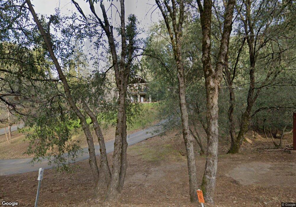
13670 Spagnoli Mine Rd Pine Grove, CA 95665
Estimated Value: $335,000 - $517,000
About This Home
This home is located at 13670 Spagnoli Mine Rd, Pine Grove, CA 95665 and is currently estimated at $408,455, approximately $319 per square foot. 13670 Spagnoli Mine Rd is a home located in Amador County with nearby schools including Pine Grove Elementary School, Jackson Junior High School, and Argonaut High School.
Ownership History
We collect this data history from publicly available records. To have your information removed, we recommend requesting removal directly through your county’s website.
Purchase Details
Home Financials for this Owner
Home Financials are based on the most recent Mortgage that was taken out on this home.Purchase Details
Purchase Details
Home Values in the Area
Average Home Value in this Area
Purchase History
We collect this data history from publicly available records. To have your information removed, we recommend requesting removal directly through your county’s website.
| Date | Buyer | Sale Price | Title Company |
|---|---|---|---|
| -- | Chicago Title | ||
| -- | None Available | ||
| -- | -- | ||
| -- | -- |
Mortgage History
We collect this data history from publicly available records. To have your information removed, we recommend requesting removal directly through your county’s website.
| Date | Status | Borrower | Loan Amount |
|---|---|---|---|
| Closed | $156,000 |
Tax History
We collect this data history from publicly available records. To have your information removed, we recommend requesting removal directly through your county’s website.
| Year | Tax Paid | Tax Assessment Tax Assessment Total Assessment is a certain percentage of the fair market value that is determined by local assessors to be the total taxable value of land and additions on the property. | Land | Improvement |
|---|---|---|---|---|
| 2025 | $4,803 | $469,646 | $200,961 | $268,685 |
| 2024 | $4,803 | $460,438 | $197,021 | $263,417 |
| 2023 | $4,709 | $451,410 | $193,158 | $258,252 |
| 2022 | $4,566 | $442,560 | $189,371 | $253,189 |
| 2021 | $4,047 | $391,214 | $163,090 | $228,124 |
| 2020 | $3,859 | $372,585 | $155,324 | $217,261 |
| 2019 | $3,515 | $338,714 | $141,204 | $197,510 |
| 2018 | $3,321 | $319,541 | $133,211 | $186,330 |
| 2017 | $2,975 | $285,304 | $118,938 | $166,366 |
| 2016 | $2,711 | $259,367 | $108,125 | $151,242 |
| 2015 | $2,517 | $240,155 | $100,116 | $140,039 |
| 2014 | $2,515 | $240,155 | $100,116 | $140,039 |
Map
- 19688 Murphy Rd
- 19479 Murphy Rd
- 19475 Murphy Rd
- 14074 Irishtown Rd Unit 12
- 14074 #1 Irishtown Rd Unit 1
- 20117 Neilson Rd
- 13706 Paelo Ln
- 20371 California 88 Unit 10
- 12970 Spagnoli Mine Rd
- 12865 Mierkey Rd
- 18777 Sugar Pine Dr S
- 13901 Druid Ln
- 14371 Tobacco Rd
- 14500 Pine Grove Volcano Rd
- 13771 West Ct
- 14577 Andrews Rd
- 12091 Mierkey Rd
- 18301 Toyon Rd
- 18243 Climax Rd
- 12880 Tabeau Ct
- 13640 Spagnoli Mine Rd
- 13734 Irishtown Rd
- 19745 Pitts Dr
- 13750 Eaton Rd
- 19735 Pitts Dr
- 13764 Eaton Rd
- 13749 Eaton Rd
- 19675 Pitts Dr
- 13720 Irish Town Rd
- 13720 Irishtown Rd
- 13773 Eaton Rd
- 19765 Pitts Dr
- 19704 Murphy Rd
- 19590 Murphy Rd
- 19755 Pitts Dr
- 13798 Irishtown Rd
- 19670 Pitts Dr
- 13745 Pine View Dr
- 19678 Pitts Dr
- 19724 Murphy Rd
Ask me questions while you tour the home.