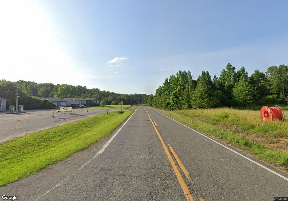
13671 Highway 69 N Northport, AL 35475
Estimated Value: $232,113 - $365,000
--
Bed
1
Bath
2,055
Sq Ft
$140/Sq Ft
Est. Value
About This Home
This home is located at 13671 Highway 69 N, Northport, AL 35475 and is currently estimated at $288,028, approximately $140 per square foot. 13671 Highway 69 N is a home located in Tuscaloosa County with nearby schools including Huntington Place Elementary School, Echols Middle School, and Tuscaloosa County High School.
Ownership History
Date
Name
Owned For
Owner Type
Purchase Details
Closed on
Jan 6, 2022
Sold by
Sharp Sandra Jo
Bought by
Sharp William M and Sharp Sandra Thomas
Current Estimated Value
Home Financials for this Owner
Home Financials are based on the most recent Mortgage that was taken out on this home.
Original Mortgage
$170,875
Outstanding Balance
$136,013
Interest Rate
3.05%
Mortgage Type
New Conventional
Estimated Equity
$152,015
Create a Home Valuation Report for This Property
The Home Valuation Report is an in-depth analysis detailing your home's value as well as a comparison with similar homes in the area
Home Values in the Area
Average Home Value in this Area
Purchase History
| Date | Buyer | Sale Price | Title Company |
|---|---|---|---|
| Sharp William M | $225,000 | None Listed On Document |
Source: Public Records
Mortgage History
| Date | Status | Borrower | Loan Amount |
|---|---|---|---|
| Open | Sharp William M | $170,875 |
Source: Public Records
Tax History Compared to Growth
Tax History
| Year | Tax Paid | Tax Assessment Tax Assessment Total Assessment is a certain percentage of the fair market value that is determined by local assessors to be the total taxable value of land and additions on the property. | Land | Improvement |
|---|---|---|---|---|
| 2024 | $484 | $34,580 | $4,580 | $30,000 |
| 2023 | $484 | $34,580 | $4,580 | $30,000 |
| 2022 | $609 | $34,100 | $4,580 | $29,520 |
| 2021 | $609 | $34,100 | $4,580 | $29,520 |
| 2020 | $560 | $15,750 | $2,290 | $13,460 |
| 2019 | $571 | $15,750 | $2,290 | $13,460 |
| 2018 | $560 | $15,750 | $2,290 | $13,460 |
| 2017 | $505 | $0 | $0 | $0 |
| 2016 | $474 | $0 | $0 | $0 |
| 2015 | $484 | $0 | $0 | $0 |
| 2014 | $114 | $13,720 | $2,290 | $11,430 |
Source: Public Records
Map
Nearby Homes
- 11220 Davis Place
- 11545 Howard Ave
- 11264 Dooley Cir
- 11157 Davis Place
- 11151 Davis Place
- 11411 Stella Way
- 13589 Margaret Way
- 14029 Briar Meadow Ln
- 11825 Belle Meade Cir
- 13519 Margaret Way
- 11291 Kindling Dr
- 13846 Margaret Way
- 14041 Briar Meadow Ln
- 13773 Randa Pkwy
- 1407 Belle Meade Blvd
- 13963 Prince William Way
- 13822 Margaret Way
- 11445 Canetuck Ln
- 11321 Belle Meade Way
- 11408 Belle Meade Way
- 13691 Highway 69 N
- 13629 Old Ivey Dr
- 13635 Old Ivey Dr
- 13625 Old Ivey Dr
- 13639 Old Ivey Dr
- 13633 Highway 69 N
- 13621 Old Ivey Dr
- 13643 Old Ivey Dr
- 10926 Carolwood Lakeview Dr
- 13647 Old Ivey Dr
- 13651 Old Ivey Dr
- 13617 Old Ivey Dr
- 13613 Old Ivey Dr
- 13609 Old Ivey Dr
- 11165 Carolwood Lakeview Dr
- 11148 Carolwood Lakeview Dr
- 13655 Old Ivey Dr
- 13630 Old Ivey Dr
- 13626 Old Ivey Dr
- 13638 Old Ivey Dr
