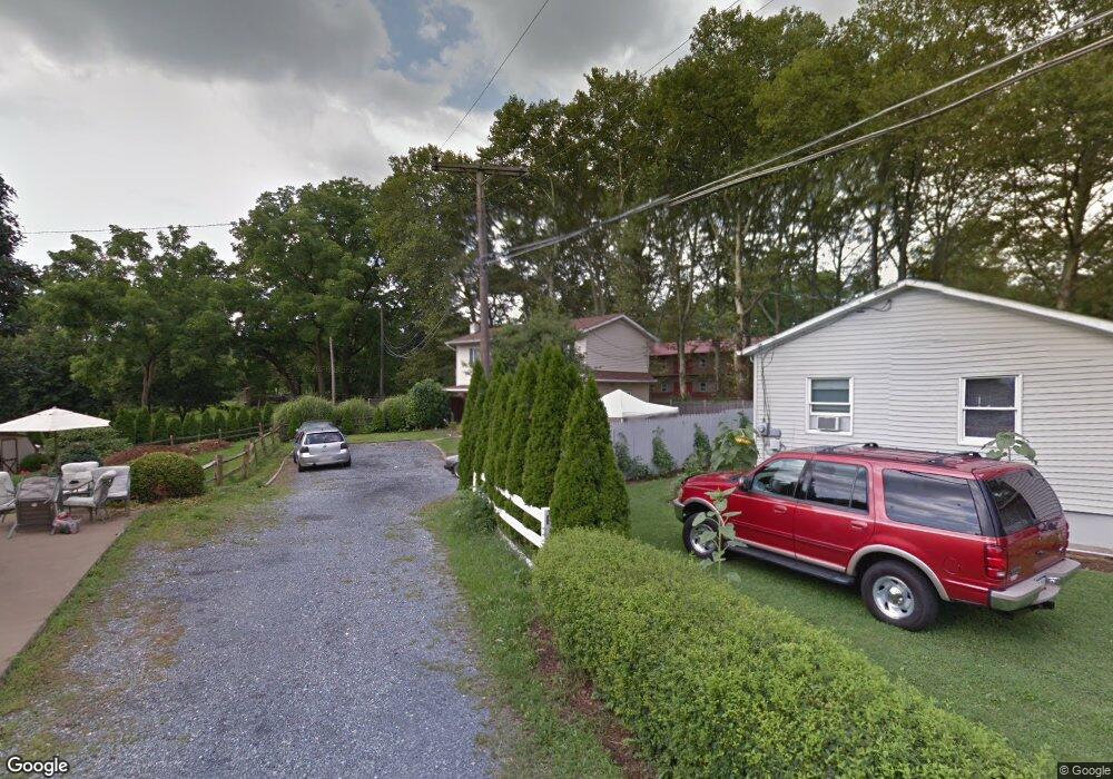
1368 Brookside Rd Allentown, PA 18106
Estimated Value: $260,000 - $320,000
2
Beds
2
Baths
1,324
Sq Ft
$220/Sq Ft
Est. Value
About This Home
This home is located at 1368 Brookside Rd, Allentown, PA 18106 and is currently estimated at $291,259, approximately $219 per square foot. 1368 Brookside Rd is a home located in Lehigh County with nearby schools including Wescosville Elementary School, Lower Macungie Middle School, and Emmaus High School.
Ownership History
Date
Name
Owned For
Owner Type
Purchase Details
Closed on
Nov 28, 1986
Sold by
Sec Of Housing & Urban Development
Bought by
Hrycko Deborah A
Current Estimated Value
Purchase Details
Closed on
Dec 20, 1985
Sold by
Efkovics William L and Efkovics Kathleen
Bought by
Sec Of Housing & Urban Devel
Purchase Details
Closed on
May 31, 1984
Bought by
Efkovics William L and Efkovics Kathleen
Create a Home Valuation Report for This Property
The Home Valuation Report is an in-depth analysis detailing your home's value as well as a comparison with similar homes in the area
Home Values in the Area
Average Home Value in this Area
Purchase History
We collect this data history from publicly available records. To have your information removed, we recommend requesting removal directly through your county’s website.
| Date | Buyer | Sale Price | Title Company |
|---|---|---|---|
| Hrycko Deborah A | $4,800 | -- | |
| Sec Of Housing & Urban Devel | -- | -- | |
| Efkovics William L | $28,900 | -- |
Source: Public Records
Tax History
| Year | Tax Paid | Tax Assessment Tax Assessment Total Assessment is a certain percentage of the fair market value that is determined by local assessors to be the total taxable value of land and additions on the property. | Land | Improvement |
|---|---|---|---|---|
| 2026 | $2,777 | $105,300 | $14,600 | $90,700 |
| 2025 | $2,688 | $105,300 | $14,600 | $90,700 |
| 2024 | $2,601 | $105,300 | $14,600 | $90,700 |
| 2023 | $2,549 | $105,300 | $14,600 | $90,700 |
| 2022 | $2,489 | $105,300 | $90,700 | $14,600 |
| 2021 | $2,436 | $105,300 | $14,600 | $90,700 |
| 2020 | $2,413 | $105,300 | $14,600 | $90,700 |
| 2019 | $2,371 | $105,300 | $14,600 | $90,700 |
| 2018 | $2,340 | $105,300 | $14,600 | $90,700 |
| 2017 | $2,299 | $105,300 | $14,600 | $90,700 |
| 2016 | -- | $105,300 | $14,600 | $90,700 |
| 2015 | -- | $105,300 | $14,600 | $90,700 |
| 2014 | -- | $105,300 | $14,600 | $90,700 |
Source: Public Records
Map
Nearby Homes
- 5041 Cypress St
- 5292 Hanover Dr
- 4882 Pine Grove Cir
- 4860 Hemlock St
- 1037 Village Round Unit L
- 5626 Greens Dr
- 5622 Wedge Ln
- 1250 Minesite Rd
- 5532 E Texas Rd
- 5517 Tanglewood Ln
- 1326 Brassie St
- 5669 Wedge Ln
- 5640 Kart Dr
- 4617 N Hedgerow Dr
- 5633 Kart Dr
- 5475 Hamilton Blvd Unit 23
- 4469 Lisa Ln
- 4461 Kohler Dr
- 1177 Treeline Dr
- 867 Cold Spring Rd Unit 5
- 1350 Brookside Rd
- 1340 Brookside Rd
- 1386 Brookside Rd
- 1398 Brookside Rd
- 1367 Brookside Rd
- 1408 Brookside Rd
- 1345 Brookside Rd
- 1425 Brookside Rd
- 1335 Brookside Rd
- 1450 Brookside Rd
- 1450 Brookside Rd
- 1402 Dayspring Dr
- 1362 Dayspring Dr
- 1424 Dayspring Dr
- 1434 Dove Terrace
- 1428 Dove Terrace
- 1312 Brookside Rd
- 1346 Dayspring Dr
- 1325 Brookside Rd
- 5132 Celia Dr
Your Personal Tour Guide
Ask me questions while you tour the home.