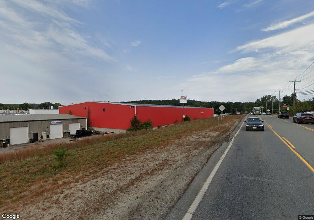
1368 Hooksett Rd Hooksett, NH 03106
Hooksett AreaEstimated Value: $4,838,712
About This Home
This home is located at 1368 Hooksett Rd, Hooksett, NH 03106 and is currently estimated at $4,838,712, approximately $112 per square foot. 1368 Hooksett Rd is a home located in Merrimack County with nearby schools including Fred C. Underhill School, Hooksett Memorial School, and David R. Cawley Middle School.
Ownership History
We collect this data history from publicly available records. To have your information removed, we recommend requesting removal directly through your county’s website.
Purchase Details
Purchase Details
Home Values in the Area
Average Home Value in this Area
Purchase History
We collect this data history from publicly available records. To have your information removed, we recommend requesting removal directly through your county’s website.
| Date | Buyer | Sale Price | Title Company |
|---|---|---|---|
| $2,380,000 | -- | ||
| $2,300,000 | -- |
Tax History
We collect this data history from publicly available records. To have your information removed, we recommend requesting removal directly through your county’s website.
| Year | Tax Paid | Tax Assessment Tax Assessment Total Assessment is a certain percentage of the fair market value that is determined by local assessors to be the total taxable value of land and additions on the property. | Land | Improvement |
|---|---|---|---|---|
| 2025 | $37,746 | $2,195,800 | $1,720,000 | $475,800 |
| 2024 | $37,241 | $2,195,800 | $1,720,000 | $475,800 |
| 2023 | $55,236 | $3,456,600 | $1,720,000 | $1,736,600 |
| 2022 | $62,080 | $2,581,300 | $1,197,500 | $1,383,800 |
| 2021 | $57,356 | $2,581,300 | $1,197,500 | $1,383,800 |
| 2020 | $58,105 | $2,581,300 | $1,197,500 | $1,383,800 |
| 2019 | $55,627 | $2,581,300 | $1,197,500 | $1,383,800 |
| 2018 | $57,098 | $2,581,300 | $1,197,500 | $1,383,800 |
| 2017 | $69,158 | $2,586,300 | $962,500 | $1,623,800 |
| 2016 | $68,252 | $2,586,300 | $962,500 | $1,623,800 |
| 2015 | $63,933 | $2,586,300 | $962,500 | $1,623,800 |
| 2014 | $64,218 | $2,586,300 | $962,500 | $1,623,800 |
| 2013 | $60,726 | $2,586,300 | $962,500 | $1,623,800 |
Map
- 3 Kerri Ln Unit A
- 57 Sagewood Cir
- 1 Trent Rd
- 1465 Hooksett Rd Unit 373
- 1465 Hooksett Rd Unit 108
- 1465 Hooksett Rd Unit 47
- 1465 Hooksett Rd Unit 365
- 1465 Hooksett Rd Unit 75 The Abbie
- 1465 Hooksett Rd Unit 117
- 57 Lindsay Rd
- 7 Dove Rd
- 269 W River Rd
- 5 Cross Rd
- 9 Whitehall Terrace
- 267 Londonderry Turnpike
- 5 Alderwood Ct
- 57 Dale Rd
- 199 Whitehall Rd
- 197-199 Whitehall Rd
- 4 Matthew Rd
- 1368 Hooksett Rd Unit 8
- 1373 Hookset Road (Rte 28)
- 1373 Hooksett Rd
- 3A Kerri Ln Unit 3a
- 3 Kerri Ln
- 3 Kerri Ln
- 3 Kerri Ln Unit 3A
- 3 Kerri Ln Unit b
- 3A Kerri Ln
- 8 Industrial Park Dr
- 8 Industrial Park Dr Unit 9 & 10
- 8 Industrial Park Dr Unit 13
- 5 Hunt St
- 34 Industrial Park Dr
- 1 Kerri Ln
- 4 Kerri Ln
- 92 Pheasant Hill Rd
- 59 Sagewood Cir
- 43 Moose Pond Terrace
- 91 Pheasant Hill Rd
Ask me questions while you tour the home.