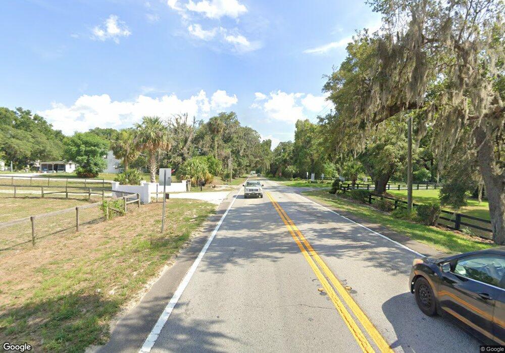
13686 E Highway 25 East Lake Weir, FL 32133
Weirsdale NeighborhoodEstimated Value: $1,012,378 - $1,279,000
4
Beds
3
Baths
2,852
Sq Ft
$402/Sq Ft
Est. Value
About This Home
This home is located at 13686 E Highway 25, East Lake Weir, FL 32133 and is currently estimated at $1,145,689, approximately $401 per square foot. 13686 E Highway 25 is a home located in Marion County with nearby schools including Stanton-Weirsdale Elementary School, Lake Weir Middle School, and Lake Weir High School.
Ownership History
Date
Name
Owned For
Owner Type
Purchase Details
Closed on
May 31, 2019
Sold by
Arrington Larry R and Arrington Candace M
Bought by
Arrington Family Trust
Current Estimated Value
Purchase Details
Closed on
Feb 3, 2016
Sold by
Ford Investment Properties Llc
Bought by
Arrington Larry R and Arrington Candace M
Purchase Details
Closed on
Sep 28, 2015
Sold by
Swearingen Kathryn and Swearingen Gregory
Bought by
Ford Investment Properties Llc
Create a Home Valuation Report for This Property
The Home Valuation Report is an in-depth analysis detailing your home's value as well as a comparison with similar homes in the area
Home Values in the Area
Average Home Value in this Area
Purchase History
| Date | Buyer | Sale Price | Title Company |
|---|---|---|---|
| Arrington Family Trust | -- | Attorney | |
| Arrington Larry R | $612,500 | Attorney | |
| Ford Investment Properties Llc | $590,000 | Attorney |
Source: Public Records
Tax History Compared to Growth
Tax History
| Year | Tax Paid | Tax Assessment Tax Assessment Total Assessment is a certain percentage of the fair market value that is determined by local assessors to be the total taxable value of land and additions on the property. | Land | Improvement |
|---|---|---|---|---|
| 2024 | $8,463 | $561,061 | -- | -- |
| 2023 | $8,268 | $544,719 | $0 | $0 |
| 2022 | $7,984 | $524,003 | $0 | $0 |
| 2021 | $8,004 | $508,741 | $0 | $0 |
| 2020 | $7,949 | $501,717 | $235,428 | $266,289 |
| 2019 | $8,933 | $516,417 | $251,844 | $264,573 |
| 2018 | $8,216 | $493,585 | $259,980 | $233,605 |
| 2017 | $8,095 | $484,619 | $259,744 | $224,875 |
| 2016 | $8,078 | $478,124 | $0 | $0 |
| 2015 | $6,408 | $407,274 | $0 | $0 |
| 2014 | $6,028 | $404,042 | $0 | $0 |
Source: Public Records
Map
Nearby Homes
- 0 E Highway 25
- 16649 NE 35th Ave
- 13691 S Hwy 25
- 0 SE 143 Ln
- TBD Magnolia Place Dr
- 12757 SE 143rd Ave
- 12710 SE 143rd Ct
- TBD Bay Lane Loop
- TBD Bay Drive Pass
- 70 Bay Dr
- TBD Bay Dr
- 0 Bay Track Ct Unit A11753684
- 0 Malauka Loop Unit MFRO6350403
- 0 Malauka Loop Unit MFROM663129
- 0 SE 122nd Lane Rd
- 0 Malauka Radial Unit MFROM709365
- 0 Malauka Radial Unit MFRTB8416549
- 0 Malauka Radial Unit MFROM694041
- TBD Bay Track
- 114 Malauka Loop
- 13678 E Highway 25
- 13584 E Highway 25
- 13686 S Hwy 25
- 13686 S Highway 25
- 13691 E Highway 25
- 13845 S Highway 25
- 13725 S Highway 25
- 13755 E Highway 25
- 13765 E Highway 25
- 13691 E Hwy 25 Unit B Secondary
- 13691 E Hwy 25 Unit C - Mallard 2BR
- 13691 E Hwy 25 Unit K - Winnebago Outloo
- 13691 E Hwy 25 Unit J - Wildcat Bunkhous
- 13691 E Hwy 25 Unit I - Imagine Studio w
- 13691 E Hwy 25 Unit H - Imagine 2BR
- 13691 E Hwy 25 Unit F - Whitehawk
- 13691 E Hwy 25 Unit E - CrossFire
- 13691 E Hwy 25 Unit G - RV full hookup s
- 13691 E Hwy 25 Unit E
- 13691 E Hwy 25 Unit F