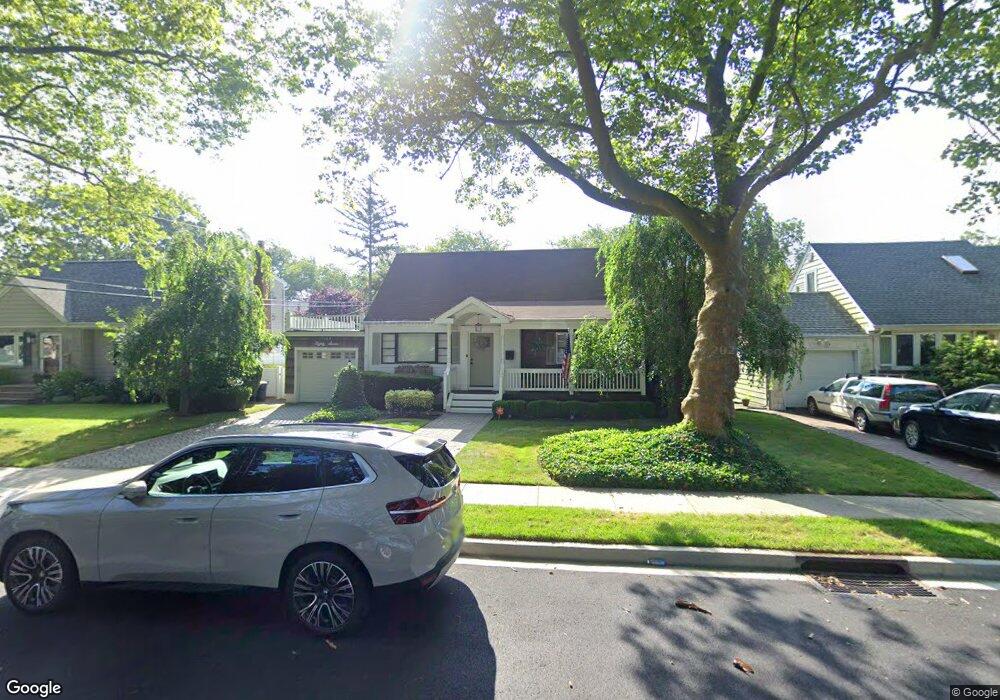
1369 Jenkins St Merrick, NY 11566
Estimated Value: $667,000 - $713,450
--
Bed
1
Bath
1,390
Sq Ft
$497/Sq Ft
Est. Value
About This Home
This home is located at 1369 Jenkins St, Merrick, NY 11566 and is currently estimated at $690,225, approximately $496 per square foot. 1369 Jenkins St is a home located in Nassau County with nearby schools including Weatherford West Elementary School, Lt. General Thomas P. Stafford Elementary School, and Grand Avenue Middle School.
Ownership History
Date
Name
Owned For
Owner Type
Purchase Details
Closed on
Feb 4, 2022
Sold by
Sternberg Douglas H and Sternberg Douglas H
Bought by
Mancuso Andrew and Joannou Melissa
Current Estimated Value
Home Financials for this Owner
Home Financials are based on the most recent Mortgage that was taken out on this home.
Original Mortgage
$548,250
Outstanding Balance
$508,121
Interest Rate
3.55%
Mortgage Type
New Conventional
Estimated Equity
$182,104
Create a Home Valuation Report for This Property
The Home Valuation Report is an in-depth analysis detailing your home's value as well as a comparison with similar homes in the area
Home Values in the Area
Average Home Value in this Area
Purchase History
| Date | Buyer | Sale Price | Title Company |
|---|---|---|---|
| Mancuso Andrew | $580,000 | First American Title | |
| Mancuso Andrew | $580,000 | First American Title | |
| Mancuso Andrew | $580,000 | First American Title |
Source: Public Records
Mortgage History
| Date | Status | Borrower | Loan Amount |
|---|---|---|---|
| Open | Mancuso Andrew | $548,250 | |
| Closed | Mancuso Andrew | $548,250 |
Source: Public Records
Tax History Compared to Growth
Tax History
| Year | Tax Paid | Tax Assessment Tax Assessment Total Assessment is a certain percentage of the fair market value that is determined by local assessors to be the total taxable value of land and additions on the property. | Land | Improvement |
|---|---|---|---|---|
| 2025 | $12,244 | $425 | $175 | $250 |
| 2024 | $3,378 | $464 | $191 | $273 |
| 2023 | $12,741 | $470 | $193 | $277 |
| 2022 | $12,741 | $470 | $193 | $277 |
| 2021 | $5,827 | $461 | $190 | $271 |
| 2020 | $4,617 | $479 | $478 | $1 |
| 2019 | $2,035 | $514 | $513 | $1 |
| 2018 | $2,729 | $548 | $0 | $0 |
| 2017 | $2,854 | $582 | $555 | $27 |
| 2016 | $5,072 | $617 | $530 | $87 |
| 2015 | $2,207 | $651 | $508 | $143 |
| 2014 | $2,207 | $651 | $508 | $143 |
| 2013 | $2,176 | $685 | $534 | $151 |
Source: Public Records
Map
Nearby Homes
- 2207 Van Nostrand Ave
- 1360 Powell Ave
- 526 Park Ave
- 2245 Van Nostrand Ave
- 37 Orchard St
- 1531 Merrick Ave
- 2360 Hamilton Rd
- 2005 Abbot Ave
- 1580 Little Whaleneck Rd
- 1448 Dewey Ave
- 1346 Bellmore Ave
- 2327 Cleveland St
- 843 Jerusalem Ave
- 2418 Knob Hill Dr
- 1680 Lake Ave
- 1399 Bellmore Ave
- 2239 Henry St
- 2282 Sycamore Place
- 2271 Locust St
- 1974 Monroe Ave