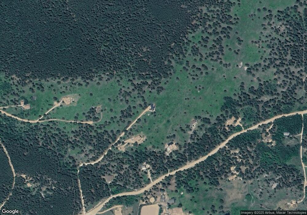
1369 Lazy Z Rd Nederland, CO 80466
Estimated Value: $806,000 - $1,256,000
3
Beds
2
Baths
1,534
Sq Ft
$603/Sq Ft
Est. Value
About This Home
This home is located at 1369 Lazy Z Rd, Nederland, CO 80466 and is currently estimated at $925,516, approximately $603 per square foot. 1369 Lazy Z Rd is a home located in Boulder County with nearby schools including Nederland Elementary School and Nederland Middle-Senior High School.
Ownership History
Date
Name
Owned For
Owner Type
Purchase Details
Closed on
Oct 21, 1999
Sold by
Int Kuzmich Jeanne Marie Und
Bought by
Hermann Michael T
Current Estimated Value
Home Financials for this Owner
Home Financials are based on the most recent Mortgage that was taken out on this home.
Original Mortgage
$250,000
Outstanding Balance
$75,716
Interest Rate
7.87%
Mortgage Type
Purchase Money Mortgage
Estimated Equity
$849,800
Purchase Details
Closed on
Nov 6, 1997
Sold by
Roberts Janice L
Bought by
Kuzmich Jeanne Marie
Home Financials for this Owner
Home Financials are based on the most recent Mortgage that was taken out on this home.
Original Mortgage
$214,600
Interest Rate
7.28%
Mortgage Type
Purchase Money Mortgage
Purchase Details
Closed on
Mar 29, 1993
Bought by
Hermann Michael T and Wollard Lisa C
Create a Home Valuation Report for This Property
The Home Valuation Report is an in-depth analysis detailing your home's value as well as a comparison with similar homes in the area
Home Values in the Area
Average Home Value in this Area
Purchase History
| Date | Buyer | Sale Price | Title Company |
|---|---|---|---|
| Hermann Michael T | $350,000 | Land Title | |
| Kuzmich Jeanne Marie | $271,000 | First American Heritage Titl | |
| Hermann Michael T | $35,000 | -- |
Source: Public Records
Mortgage History
| Date | Status | Borrower | Loan Amount |
|---|---|---|---|
| Open | Hermann Michael T | $250,000 | |
| Previous Owner | Kuzmich Jeanne Marie | $214,600 |
Source: Public Records
Tax History Compared to Growth
Tax History
| Year | Tax Paid | Tax Assessment Tax Assessment Total Assessment is a certain percentage of the fair market value that is determined by local assessors to be the total taxable value of land and additions on the property. | Land | Improvement |
|---|---|---|---|---|
| 2025 | $4,557 | $64,457 | $8,663 | $55,794 |
| 2024 | $4,557 | $64,457 | $8,663 | $55,794 |
| 2023 | $5,047 | $59,007 | $11,933 | $50,759 |
| 2022 | $4,235 | $46,016 | $7,423 | $38,593 |
| 2021 | $4,179 | $47,340 | $7,636 | $39,704 |
| 2020 | $3,933 | $43,944 | $7,579 | $36,365 |
| 2019 | $3,871 | $43,944 | $7,579 | $36,365 |
| 2018 | $3,544 | $39,650 | $7,272 | $32,378 |
| 2017 | $3,450 | $43,836 | $8,040 | $35,796 |
| 2016 | $3,427 | $38,231 | $8,676 | $29,555 |
| 2015 | $3,253 | $36,958 | $19,661 | $17,297 |
| 2014 | $3,232 | $36,958 | $19,661 | $17,297 |
Source: Public Records
Map
Nearby Homes
- 188 Ponderosa Way
- 1101 County Road 99
- 198 Frontier Ln
- 2200 Magnolia Rd
- 11 Eagles Nest Ln
- 401 Highway 72
- 206 Wonder Trail
- Lot 028 Sunflower Rd Unit 28
- 00 Sunflower Rd
- 24 Signal Rock Rd
- 15 Hardscrabble Rd
- 87 Circle Rd
- 306 Olde Carter Lake Rd
- 582 Pactolus Lake Rd
- 2476 S Beaver Creek Rd
- 8 Ronnie Rd
- 3907 Ridge Rd
- 850 Lupine Place
- 200 Kimwood
- 134 Hurricane Hill Dr