1369 Millbrook Trail Unit 134 Ann Arbor, MI 48108
Estimated Value: $264,000 - $276,000
2
Beds
2
Baths
1,111
Sq Ft
$243/Sq Ft
Est. Value
About This Home
This home is located at 1369 Millbrook Trail Unit 134, Ann Arbor, MI 48108 and is currently estimated at $270,184, approximately $243 per square foot. 1369 Millbrook Trail Unit 134 is a home located in Washtenaw County with nearby schools including Bryant Elementary School, Pattengill Elementary School, and Tappan Middle School.
Ownership History
Date
Name
Owned For
Owner Type
Purchase Details
Closed on
Apr 30, 2004
Sold by
Clarke Stephen A and Clarke Kristina
Bought by
Borton Allen L and Borton Michelle M
Current Estimated Value
Home Financials for this Owner
Home Financials are based on the most recent Mortgage that was taken out on this home.
Original Mortgage
$151,486
Outstanding Balance
$71,025
Interest Rate
5.5%
Mortgage Type
FHA
Estimated Equity
$199,159
Purchase Details
Closed on
Aug 11, 1999
Sold by
Of Ann Arbor L L C Heath
Bought by
Clarke Stephen A
Create a Home Valuation Report for This Property
The Home Valuation Report is an in-depth analysis detailing your home's value as well as a comparison with similar homes in the area
Home Values in the Area
Average Home Value in this Area
Purchase History
| Date | Buyer | Sale Price | Title Company |
|---|---|---|---|
| Borton Allen L | $155,000 | -- | |
| Clarke Stephen A | $105,925 | -- |
Source: Public Records
Mortgage History
| Date | Status | Borrower | Loan Amount |
|---|---|---|---|
| Open | Borton Allen L | $151,486 |
Source: Public Records
Tax History Compared to Growth
Tax History
| Year | Tax Paid | Tax Assessment Tax Assessment Total Assessment is a certain percentage of the fair market value that is determined by local assessors to be the total taxable value of land and additions on the property. | Land | Improvement |
|---|---|---|---|---|
| 2025 | $2,463 | $116,531 | $0 | $0 |
| 2024 | $1,647 | $106,996 | $0 | $0 |
| 2023 | $1,583 | $95,300 | $0 | $0 |
| 2022 | $2,390 | $90,700 | $0 | $0 |
| 2021 | $2,333 | $91,100 | $0 | $0 |
| 2020 | $2,289 | $89,800 | $0 | $0 |
| 2019 | $2,157 | $83,000 | $83,000 | $0 |
| 2018 | $2,123 | $80,700 | $0 | $0 |
| 2017 | $2,058 | $77,800 | $0 | $0 |
| 2016 | $1,316 | $51,736 | $0 | $0 |
| 2015 | -- | $51,582 | $0 | $0 |
| 2014 | -- | $49,971 | $0 | $0 |
| 2013 | -- | $49,971 | $0 | $0 |
Source: Public Records
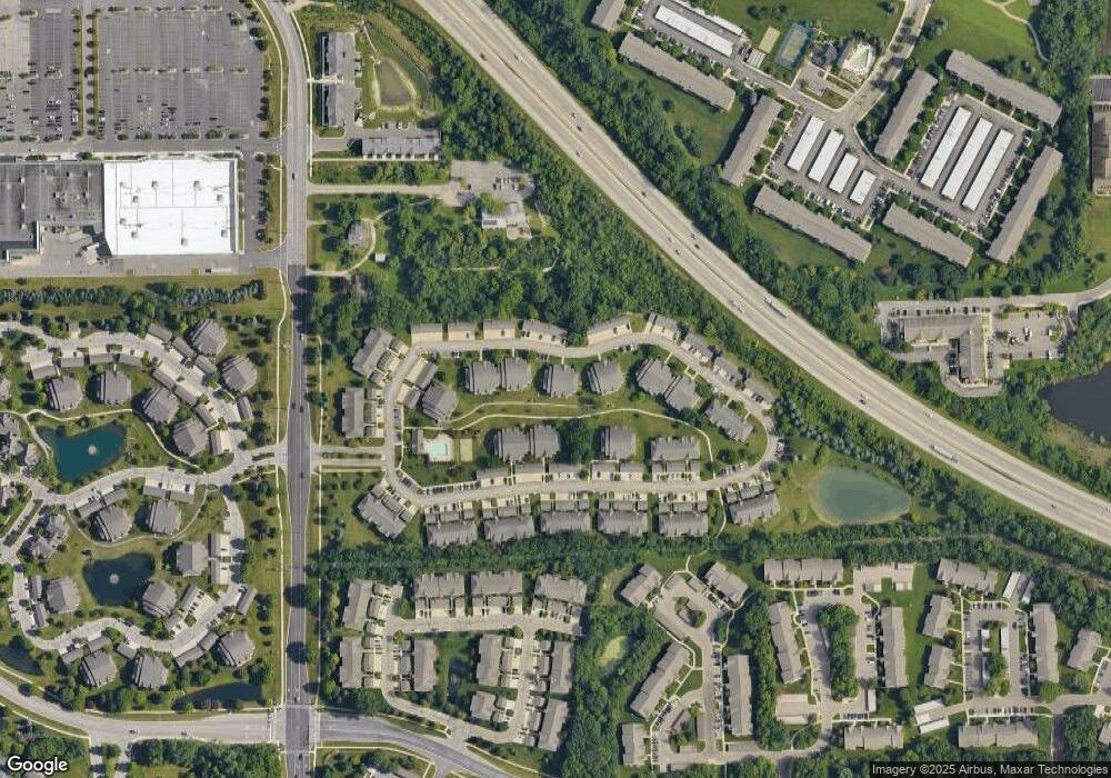
Map
Nearby Homes
- 1307 Millbrook Trail
- 5431 Poppydrew Ln Unit 58
- 5431 Poppydrew Ln
- 1429 Millbrook Trail Unit 172
- 1446 Millbrook Trail
- 1468 Fox Pointe Cir
- 1493 Fox Pointe Cir
- 1354 Fox Pointe Cir
- 1533 Weatherstone Dr
- 1583 Long Meadow Trail Unit 285
- 1623 Long Meadow Trail Unit 59
- 2936 Signature Blvd Unit 24
- 225 W Oakbrook Dr Unit 47
- 222 W Oakbrook Dr Unit 38
- 3561 Meadow Grove Trail
- 1998 Bancroft Dr
- 3356 Breckland Ct Unit 73
- 3956 Bridle Pass Unit 28
- 3644 Burnham Rd Unit 20
- 3426 Breckland Ct Unit 59
- 1355 Millbrook Trail Unit 136
- 1367 Millbrook Trail
- 1365 Millbrook Trail Unit 141
- 1357 Millbrook Trail
- 1361 Millbrook Trail Unit 139
- 1359 Millbrook Trail
- 1351 Millbrook Trail
- 1353 Millbrook Trail Unit 138
- 1381 Millbrook Trail Unit 143
- 1373 Millbrook Trail
- 1383 Millbrook Trail
- 0 Millbrook Trail
- 1385 Millbrook Trail Unit 152
- 1375 Millbrook Trail Unit 148
- 1341 Millbrook Trail Unit 131
- 1333 Millbrook Trail Unit 127
- 1377 Millbrook Trail Unit 146
- 1391 Millbrook Trail
- 1389 Millbrook Trail
- 1389 Millbrook Trail Unit 150