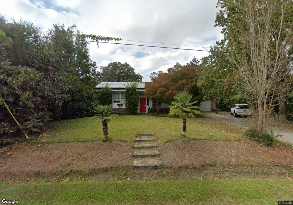
1369 Pooshee Dr Charleston, SC 29407
West Ashley NeighborhoodEstimated Value: $555,000 - $624,000
3
Beds
2
Baths
1,863
Sq Ft
$313/Sq Ft
Est. Value
About This Home
This home is located at 1369 Pooshee Dr, Charleston, SC 29407 and is currently estimated at $583,343, approximately $313 per square foot. 1369 Pooshee Dr is a home located in Charleston County with nearby schools including St. Andrews School Of Math And Science, West Ashley High School, and Orange Grove Elementary Charter School.
Ownership History
Date
Name
Owned For
Owner Type
Purchase Details
Closed on
Dec 1, 2022
Sold by
Messina Valentina
Bought by
Messina Valentina and Madonia Marco
Current Estimated Value
Purchase Details
Closed on
Oct 10, 2014
Sold by
Cooper Amy C
Bought by
Messina Valentin
Purchase Details
Closed on
Dec 4, 2007
Sold by
Odell Robert Mcrae and Odell Casey T
Bought by
Cooper Amy C
Home Financials for this Owner
Home Financials are based on the most recent Mortgage that was taken out on this home.
Original Mortgage
$213,750
Interest Rate
6.22%
Mortgage Type
Purchase Money Mortgage
Purchase Details
Closed on
Feb 14, 2003
Sold by
Blackshear David S and Blackshear Marion S
Bought by
Odell Robert Mcrae and Odell Casey T
Create a Home Valuation Report for This Property
The Home Valuation Report is an in-depth analysis detailing your home's value as well as a comparison with similar homes in the area
Home Values in the Area
Average Home Value in this Area
Purchase History
| Date | Buyer | Sale Price | Title Company |
|---|---|---|---|
| Messina Valentina | -- | -- | |
| Messina Valentin | $232,500 | -- | |
| Cooper Amy C | $225,000 | None Available | |
| Odell Robert Mcrae | $140,000 | -- |
Source: Public Records
Mortgage History
| Date | Status | Borrower | Loan Amount |
|---|---|---|---|
| Previous Owner | Cooper Amy C | $213,750 |
Source: Public Records
Tax History Compared to Growth
Tax History
| Year | Tax Paid | Tax Assessment Tax Assessment Total Assessment is a certain percentage of the fair market value that is determined by local assessors to be the total taxable value of land and additions on the property. | Land | Improvement |
|---|---|---|---|---|
| 2024 | $1,484 | $10,810 | $0 | $0 |
| 2023 | $1,484 | $10,810 | $0 | $0 |
| 2022 | $1,365 | $10,810 | $0 | $0 |
| 2021 | $1,430 | $10,810 | $0 | $0 |
| 2020 | $1,482 | $10,810 | $0 | $0 |
| 2019 | $1,322 | $9,400 | $0 | $0 |
| 2017 | $1,278 | $9,400 | $0 | $0 |
| 2016 | $1,226 | $9,400 | $0 | $0 |
| 2015 | $1,266 | $9,400 | $0 | $0 |
| 2014 | $1,085 | $0 | $0 | $0 |
| 2011 | -- | $0 | $0 | $0 |
Source: Public Records
Map
Nearby Homes
- 1278 S Lenevar Dr
- 1260 Marvin Ave
- 1288 Marvin Ave
- 1285 Camerton St
- 1457 Village Rd
- 1593 Teague St
- 1501 Birthright St
- 1223 Charlestowne Dr
- 1336 Coleridge St
- 1428 Salisbury St
- 13 Ashland Dr
- 1637 Falmouth St
- 1472 Orange Grove Rd
- 1534 Salisbury St
- 1229 Winston St
- 1550 Salisbury St
- 1513 Morgan Campbell Ct
- 1530 Orange Grove Rd Unit A&B
- 1308 Coleridge St
- 1532 Orange Grove Rd Unit A&B