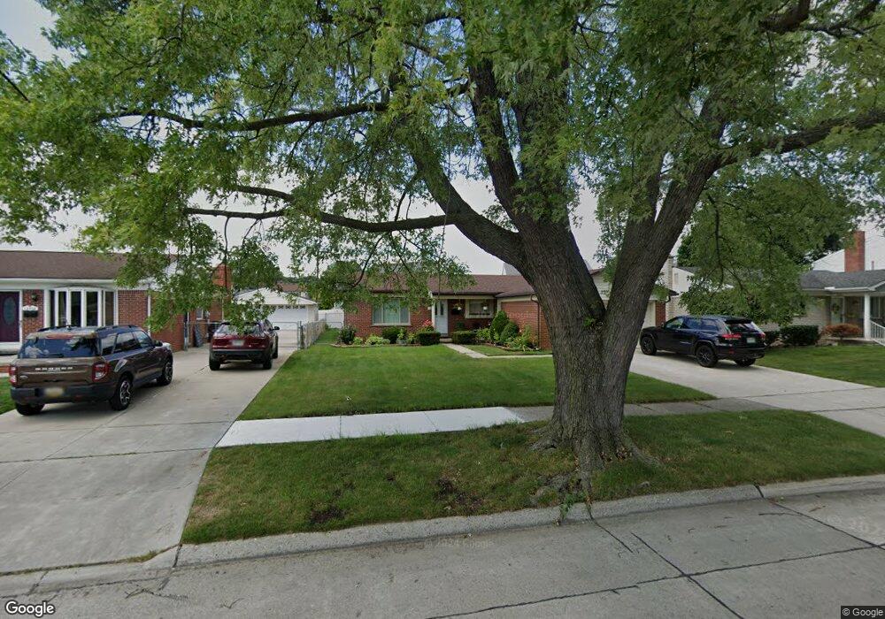
13690 Mark St Southgate, MI 48195
Estimated Value: $225,531 - $251,000
3
Beds
2
Baths
1,345
Sq Ft
$180/Sq Ft
Est. Value
About This Home
This home is located at 13690 Mark St, Southgate, MI 48195 and is currently estimated at $242,633, approximately $180 per square foot. 13690 Mark St is a home located in Wayne County with nearby schools including Fordline Elementary School, Davidson Middle School, and Southgate Anderson High School.
Ownership History
Date
Name
Owned For
Owner Type
Purchase Details
Closed on
Mar 25, 2011
Sold by
Secretary Of Housing & Urban Development
Bought by
Sulaj Artan
Current Estimated Value
Home Financials for this Owner
Home Financials are based on the most recent Mortgage that was taken out on this home.
Original Mortgage
$52,500
Outstanding Balance
$2,444
Interest Rate
4.93%
Mortgage Type
New Conventional
Estimated Equity
$240,189
Purchase Details
Closed on
Aug 24, 2010
Sold by
Wells Fargo Bank Na
Bought by
The Secretary Of Housing & Urban Develop
Purchase Details
Closed on
Jul 21, 2010
Sold by
White William I and White Lisa M
Bought by
Wells Fargo Bank Na
Purchase Details
Closed on
Dec 3, 1999
Sold by
Smith Deena J
Bought by
Stanley Lisa M
Create a Home Valuation Report for This Property
The Home Valuation Report is an in-depth analysis detailing your home's value as well as a comparison with similar homes in the area
Home Values in the Area
Average Home Value in this Area
Purchase History
| Date | Buyer | Sale Price | Title Company |
|---|---|---|---|
| Sulaj Artan | $75,000 | Title Direct | |
| The Secretary Of Housing & Urban Develop | -- | None Available | |
| Wells Fargo Bank Na | $162,982 | None Available | |
| Stanley Lisa M | $152,000 | -- |
Source: Public Records
Mortgage History
| Date | Status | Borrower | Loan Amount |
|---|---|---|---|
| Open | Sulaj Artan | $52,500 |
Source: Public Records
Tax History Compared to Growth
Tax History
| Year | Tax Paid | Tax Assessment Tax Assessment Total Assessment is a certain percentage of the fair market value that is determined by local assessors to be the total taxable value of land and additions on the property. | Land | Improvement |
|---|---|---|---|---|
| 2025 | $2,623 | $102,600 | $0 | $0 |
| 2024 | $2,623 | $97,300 | $0 | $0 |
| 2023 | $2,499 | $89,700 | $0 | $0 |
| 2022 | $2,890 | $81,800 | $0 | $0 |
| 2021 | $2,814 | $72,600 | $0 | $0 |
| 2020 | $2,767 | $67,400 | $0 | $0 |
| 2019 | $2,733 | $64,900 | $0 | $0 |
| 2018 | $2,088 | $61,300 | $0 | $0 |
| 2017 | $1,222 | $58,100 | $0 | $0 |
| 2016 | $2,529 | $54,300 | $0 | $0 |
| 2015 | $4,335 | $46,200 | $0 | $0 |
| 2013 | $4,200 | $43,000 | $0 | $0 |
| 2012 | $1,955 | $41,300 | $6,000 | $35,300 |
Source: Public Records
Map
Nearby Homes
- 13497 Mark St
- 13550 Karl St
- 0 Poplar St
- 13543 Poplar St
- 14394 Windemere St
- 13367 Fordline St
- 13787 Irene St
- 14618 Fordline St
- 12792 Elaine Dr
- 13632 Pearl St
- 14791 Windermere St
- 13728 Agnes St
- 14834 Kennebec St
- 13199 Irene St
- 14370 Pearl St
- ESSEX Plan at Woodland Ridge
- DUPONT Plan at Woodland Ridge
- 15308 Woodland Ridge Dr
- 15602 Northline Rd
- 14706 Eureka Rd
- 13678 Mark St
- 13702 Mark St
- 13716 Mark St
- 13666 Mark St
- 13783 Homestead Ct
- 13783 Homestead Ct
- 13654 Mark St
- 13691 Mark St
- 13697 Mark St
- 13728 Mark St
- 13679 Mark St
- 13763 Homestead Ct
- 13763 Homestead Ct
- 13703 Mark St
- 13853 Sherborn Ct
- 13667 Mark St
- 13863 Sherborn Ct
- 13717 Mark St
- 13793 Homestead Ct
- 13793 Homestead Ct