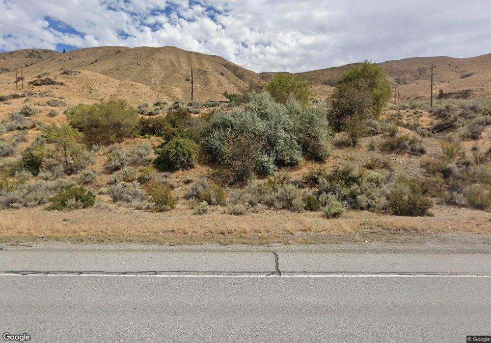
13690 State Route 2 East Wenatchee, WA 98802
Estimated Value: $836,000 - $1,011,000
5
Beds
3
Baths
3,628
Sq Ft
$258/Sq Ft
Est. Value
About This Home
This home is located at 13690 State Route 2, East Wenatchee, WA 98802 and is currently estimated at $936,065, approximately $258 per square foot. 13690 State Route 2 is a home located in Douglas County with nearby schools including Orondo Elementary/Middle School.
Ownership History
Date
Name
Owned For
Owner Type
Purchase Details
Closed on
Aug 20, 2007
Sold by
Smith Don and Smith Myrna L
Bought by
Mitchell Ted and Mitchell Kathy
Current Estimated Value
Create a Home Valuation Report for This Property
The Home Valuation Report is an in-depth analysis detailing your home's value as well as a comparison with similar homes in the area
Home Values in the Area
Average Home Value in this Area
Purchase History
| Date | Buyer | Sale Price | Title Company |
|---|---|---|---|
| Mitchell Ted | -- | Transnation Title Co |
Source: Public Records
Tax History Compared to Growth
Tax History
| Year | Tax Paid | Tax Assessment Tax Assessment Total Assessment is a certain percentage of the fair market value that is determined by local assessors to be the total taxable value of land and additions on the property. | Land | Improvement |
|---|---|---|---|---|
| 2025 | $5,284 | $773,300 | $131,600 | $641,700 |
| 2024 | $5,284 | $781,000 | $131,600 | $649,400 |
| 2023 | $5,912 | $784,200 | $131,600 | $652,600 |
| 2022 | $4,910 | $573,600 | $70,800 | $502,800 |
| 2021 | $4,292 | $573,600 | $70,800 | $502,800 |
| 2020 | $4,147 | $512,000 | $70,800 | $441,200 |
| 2018 | $4,590 | $511,500 | $70,700 | $440,800 |
| 2017 | $3,148 | $511,500 | $70,700 | $440,800 |
| 2016 | $3,172 | $360,700 | $70,700 | $290,000 |
| 2015 | $3,405 | $360,700 | $70,700 | $290,000 |
| 2014 | -- | $360,700 | $70,700 | $290,000 |
| 2013 | -- | $360,700 | $70,700 | $290,000 |
Source: Public Records
Map
Nearby Homes
- 13512 Us Highway 2 Unit p. 4
- 13512 Us Highway 2 Unit p.6
- 13512 Us Highway 2 Unit p. 3
- 13512 Us Highway 2 Unit 2
- 13512 Us Highway 2 Unit 1
- 0 Husky Run Rd
- 6 XX Chipmunk Trail
- 0 XX Melvin Rd
- 103 Fir Rd
- 219 Chipmunk Trail
- 7491 Pot o Gold Ln
- 215 Chipmunk Trail
- 202 Chipmunk Trail
- 208 Falcon Ridge Rd
- 207 Falcon Ridge Rd
- 202 Falcon Ridge Rd
- 117 Hummingbird Rd
- 16161 Badger Mountain Rd
- 114 Falcon Ridge Rd
- 109 Wild Turkey Rd
- 13694 State Route 2
- 13685 Whitebird Place
- 13683 Whitebird Place
- 13689 Whitebird Place
- 13681 Whitebird Place
- 13693 Whitebird Place
- 13691 Whitebird Place
- 13695 Whitebird Place
- 13697 Whitebird Place
- 13699 Whitebird Place
- 13665 U S 2
- 13740 Us 2 Hwy Unit C
- 13740 Us 2 Hwy Unit B
- 13740 Us 2 Hwy Unit A
- 13733 State Route 2
- 13740 State Route 2 Unit B
- 13740 State Route 2 Unit A
- 13740 Us Hwy 2 Unit 3
- 13740 Us Hwy 2 Unit 2
- 13740 Us Hwy 2 Unit D
