137 Allen Dr Mooresville, IN 46158
Estimated Value: $235,000 - $249,824
3
Beds
2
Baths
1,269
Sq Ft
$189/Sq Ft
Est. Value
About This Home
This home is located at 137 Allen Dr, Mooresville, IN 46158 and is currently estimated at $239,706, approximately $188 per square foot. 137 Allen Dr is a home located in Morgan County with nearby schools including Mooresville High School and Mooresville Christian Academy.
Ownership History
Date
Name
Owned For
Owner Type
Purchase Details
Closed on
Oct 7, 2017
Sold by
Lagler Stephanie and Alvarado Stephanie
Bought by
Lagler Stephanie and Lagler Michael
Current Estimated Value
Home Financials for this Owner
Home Financials are based on the most recent Mortgage that was taken out on this home.
Original Mortgage
$74,400
Outstanding Balance
$51,417
Interest Rate
3.78%
Mortgage Type
New Conventional
Estimated Equity
$188,289
Purchase Details
Closed on
Mar 17, 2006
Sold by
Household Finance Crop Iii
Bought by
Alvarado Stepahnie
Home Financials for this Owner
Home Financials are based on the most recent Mortgage that was taken out on this home.
Original Mortgage
$90,000
Interest Rate
6.39%
Mortgage Type
New Conventional
Purchase Details
Closed on
Dec 12, 2005
Sold by
Nusbaum Harry J and Nusbaum Gloria J
Bought by
Household Finance Corp Iii
Create a Home Valuation Report for This Property
The Home Valuation Report is an in-depth analysis detailing your home's value as well as a comparison with similar homes in the area
Home Values in the Area
Average Home Value in this Area
Purchase History
| Date | Buyer | Sale Price | Title Company |
|---|---|---|---|
| Lagler Stephanie | -- | None Available | |
| Alvarado Stepahnie | -- | None Available | |
| Household Finance Corp Iii | $91,770 | None Available |
Source: Public Records
Mortgage History
| Date | Status | Borrower | Loan Amount |
|---|---|---|---|
| Open | Lagler Stephanie | $74,400 | |
| Previous Owner | Alvarado Stepahnie | $90,000 |
Source: Public Records
Tax History Compared to Growth
Tax History
| Year | Tax Paid | Tax Assessment Tax Assessment Total Assessment is a certain percentage of the fair market value that is determined by local assessors to be the total taxable value of land and additions on the property. | Land | Improvement |
|---|---|---|---|---|
| 2024 | $1,324 | $205,600 | $69,000 | $136,600 |
| 2023 | $1,432 | $213,800 | $69,000 | $144,800 |
| 2022 | $1,364 | $198,900 | $69,000 | $129,900 |
| 2021 | $791 | $137,100 | $33,800 | $103,300 |
| 2020 | $776 | $134,700 | $33,800 | $100,900 |
| 2019 | $687 | $125,700 | $33,800 | $91,900 |
| 2018 | $625 | $118,700 | $33,800 | $84,900 |
| 2017 | $452 | $105,500 | $33,800 | $71,700 |
| 2016 | $377 | $90,500 | $16,900 | $73,600 |
| 2014 | $273 | $89,100 | $16,900 | $72,200 |
| 2013 | $273 | $91,100 | $16,900 | $74,200 |
Source: Public Records
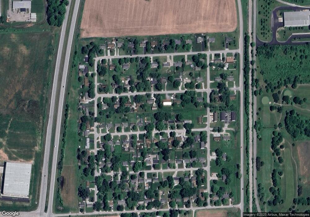
Map
Nearby Homes
- 126-128 Allen Dr
- 207 Center Dr
- 192 Cohen Dr
- 146 Lewis Dr
- 37 Knox Ct
- Lot 6 Watson Rd
- 50 Kings Ct
- 0 E Dayhuff Rd Unit MBR22042688
- 0 E Dayhuff Rd Unit MBR22063918
- 8245 Henderson Ridge Dr
- 8548 N Observatory Ln
- Lot 2 Whitetail Ridge
- Lot 6 Whitetail Ridge
- Lot 5 Whitetail Ridge
- Lot 3 Whitetail Ridge
- Lot 1 Whitetail Ridge
- Lot 4 Whitetail Ridge
- 28 Rohn Rd
- O Legacy Estates-Lot 5
- 0 Legacy Estates Lot 2