137 Amherst Ln Lake Worth, FL 33467
Estimated Value: $136,000 - $173,000
1
Bed
2
Baths
1,100
Sq Ft
$135/Sq Ft
Est. Value
About This Home
This home is located at 137 Amherst Ln, Lake Worth, FL 33467 and is currently estimated at $148,829, approximately $135 per square foot. 137 Amherst Ln is a home located in Palm Beach County with nearby schools including Liberty Park Elementary School, Okeeheelee Middle School, and Montessori Academy of Early Enrichment.
Ownership History
Date
Name
Owned For
Owner Type
Purchase Details
Closed on
Dec 23, 2002
Sold by
Marx Henry K and Marx Genevieve
Bought by
Almeida Arlinda
Current Estimated Value
Home Financials for this Owner
Home Financials are based on the most recent Mortgage that was taken out on this home.
Original Mortgage
$31,125
Outstanding Balance
$13,129
Interest Rate
5.99%
Mortgage Type
Stand Alone First
Estimated Equity
$135,700
Purchase Details
Closed on
Sep 24, 1993
Sold by
Dubinsky Leon J
Bought by
Marx Henry K
Create a Home Valuation Report for This Property
The Home Valuation Report is an in-depth analysis detailing your home's value as well as a comparison with similar homes in the area
Home Values in the Area
Average Home Value in this Area
Purchase History
| Date | Buyer | Sale Price | Title Company |
|---|---|---|---|
| Almeida Arlinda | $41,500 | Fidelity Natl Title Ins Co O | |
| Marx Henry K | $30,000 | -- |
Source: Public Records
Mortgage History
| Date | Status | Borrower | Loan Amount |
|---|---|---|---|
| Open | Almeida Arlinda | $31,125 |
Source: Public Records
Tax History Compared to Growth
Tax History
| Year | Tax Paid | Tax Assessment Tax Assessment Total Assessment is a certain percentage of the fair market value that is determined by local assessors to be the total taxable value of land and additions on the property. | Land | Improvement |
|---|---|---|---|---|
| 2024 | $311 | $31,541 | -- | -- |
| 2023 | $286 | $30,622 | $0 | $0 |
| 2022 | $345 | $29,730 | $0 | $0 |
| 2021 | $314 | $28,864 | $0 | $0 |
| 2020 | $302 | $28,465 | $0 | $0 |
| 2019 | $295 | $27,825 | $0 | $0 |
| 2018 | $287 | $27,306 | $0 | $0 |
| 2017 | $264 | $26,744 | $0 | $0 |
| 2016 | $252 | $26,194 | $0 | $0 |
| 2015 | $247 | $26,012 | $0 | $0 |
| 2014 | $245 | $25,806 | $0 | $0 |
Source: Public Records
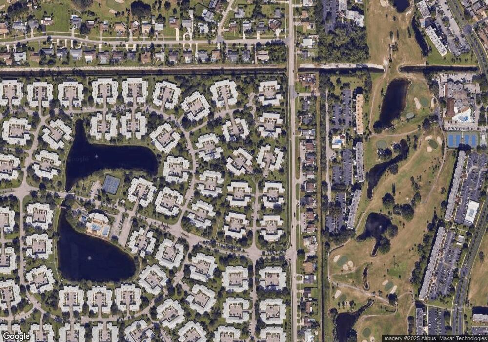
Map
Nearby Homes
- 114 Amherst Ln
- 123 Amherst Ln
- 127 Amherst Ln Unit 127
- 165 Amherst Ln
- 176 Cape Cod Cir
- 448 Franconia Cir Unit B
- 374 Bennington Ln
- 3595 Birdie Dr Unit 2030
- 3595 Birdie Dr Unit 4060
- 3595 Birdie Dr Unit 5040
- 445 Franconia Cir
- 3597 Birdie Dr Unit 1070
- 207 Cape Cod Cir
- 442 Franconia Cir
- 395 Bennington Ln
- 342 Covered Bridge Blvd Unit B
- 352 Covered Bridge Blvd Unit A
- 316 Cape Cod Cir Unit B
- 545 Covered Bridge Blvd Unit B
- 3593 Birdie Dr Unit 5070
- 136 Amherst Ln
- 137 Amherst Ln Unit 137
- 134 Amherst Ln Unit 134
- 142 Amherst Ln Unit 142
- 130 Amherst Ln
- 143 Amherst Ln
- 129 Amherst Ln Unit 129
- 144 Amherst Ln
- 128 Amherst Ln Unit 128
- 145 Amherst Ln Unit 145
- 146 Amherst Ln Unit 146
- 122 Amherst Ln Unit 122
- 150 Amherst Ln
- 151 Amherst Ln
- 152 Amherst Ln Unit 152
- 118 Amherst Ln
- 154 Amherst Ln Unit 154
- 149 Amherst Ln
- 155 Amherst Ln Unit 155
- 116 Amherst Ln Unit 116