137 Anchorage Ln Leesville, SC 29070
Estimated Value: $598,000 - $854,165
4
Beds
4
Baths
2,071
Sq Ft
$345/Sq Ft
Est. Value
About This Home
This home is located at 137 Anchorage Ln, Leesville, SC 29070 and is currently estimated at $713,791, approximately $344 per square foot. 137 Anchorage Ln is a home with nearby schools including Batesburg-Leesville Primary School, Batesburg-Leesville Elementary School, and Batesburg-Leesville Middle School.
Ownership History
Date
Name
Owned For
Owner Type
Purchase Details
Closed on
Mar 30, 2016
Sold by
Groscost Willard D and Groscost Sharyl R
Bought by
Groscost Willard D and Groscost Sharyl R
Current Estimated Value
Purchase Details
Closed on
Jan 30, 2007
Sold by
Willows End Investment Co
Bought by
Groscost Willard D and Groscost Sharyl R
Home Financials for this Owner
Home Financials are based on the most recent Mortgage that was taken out on this home.
Original Mortgage
$110,000
Outstanding Balance
$65,812
Interest Rate
6.14%
Mortgage Type
Credit Line Revolving
Estimated Equity
$647,979
Create a Home Valuation Report for This Property
The Home Valuation Report is an in-depth analysis detailing your home's value as well as a comparison with similar homes in the area
Home Values in the Area
Average Home Value in this Area
Purchase History
| Date | Buyer | Sale Price | Title Company |
|---|---|---|---|
| Groscost Willard D | -- | None Available | |
| Groscost Willard D | $215,000 | None Available |
Source: Public Records
Mortgage History
| Date | Status | Borrower | Loan Amount |
|---|---|---|---|
| Open | Groscost Willard D | $110,000 |
Source: Public Records
Tax History Compared to Growth
Tax History
| Year | Tax Paid | Tax Assessment Tax Assessment Total Assessment is a certain percentage of the fair market value that is determined by local assessors to be the total taxable value of land and additions on the property. | Land | Improvement |
|---|---|---|---|---|
| 2024 | $3,055 | $22,841 | $6,160 | $16,681 |
| 2023 | $3,055 | $22,841 | $6,160 | $16,681 |
| 2022 | $3,068 | $22,841 | $6,160 | $16,681 |
| 2020 | $2,523 | $22,841 | $6,160 | $16,681 |
| 2019 | $2,561 | $21,457 | $5,040 | $16,417 |
| 2018 | $2,473 | $21,457 | $5,040 | $16,417 |
| 2017 | $2,264 | $21,457 | $5,040 | $16,417 |
| 2016 | $1,761 | $21,457 | $5,040 | $16,417 |
| 2014 | $1,930 | $22,033 | $7,560 | $14,473 |
| 2013 | -- | $22,030 | $7,560 | $14,470 |
Source: Public Records
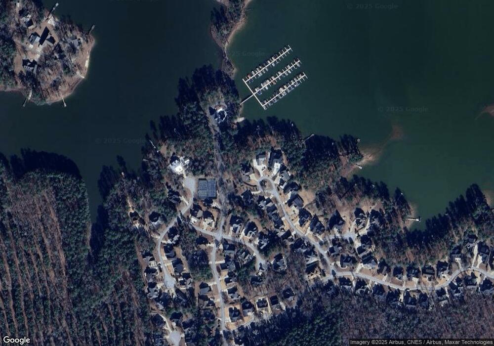
Map
Nearby Homes
- 140 Harvest Moon Dr
- 111 Buccaneer Place
- 116 Summer Breeze Dr
- 140 Breezy Pointe Ln
- 305 Lakeshore Dr
- 0 Lake Village Dr
- 0 Shirey Branch Rd Unit 617988
- 200 Red Star Rd
- 0 Red Star Rd Unit Lot 2 579039
- 0 Red Star Rd Unit Lot 1 579037
- 0 Red Star Rd Unit Lot 4 579035
- 0 Red Star Rd Unit Lot 5
- 000A Rock North Creek Rd
- 166 Marina Cove Dr
- 149 Marina Cove Dr
- 501 Canasta Dr
- 135 Rocky Ridge Rd
- 138 Marina Cove Dr
- 0 Cedar Grove Rd
- 1331 Camping Rd
- 132 Anchorage Ln
- 129 Anchorage Ln
- 125 Anchorage Ln
- 124 Anchorage Ln
- 121 Anchorage Ln
- 120 Anchorage Ln
- 101 Port o Call Place
- 105 Port o Call Place
- 116 Anchorage Ln
- 100 Man o War Ln
- 100 Man o War Ln
- 117 Anchorage Ln
- 104 Man O' War Ln
- 104 Man o War Ln
- 100 Harbour Club Ct
- 115 Misty Morning Point
- 107 Misty Morning Point
- 112 Anchorage Ln
- 113 Anchorage Ln
- 101 Misty Morning Point