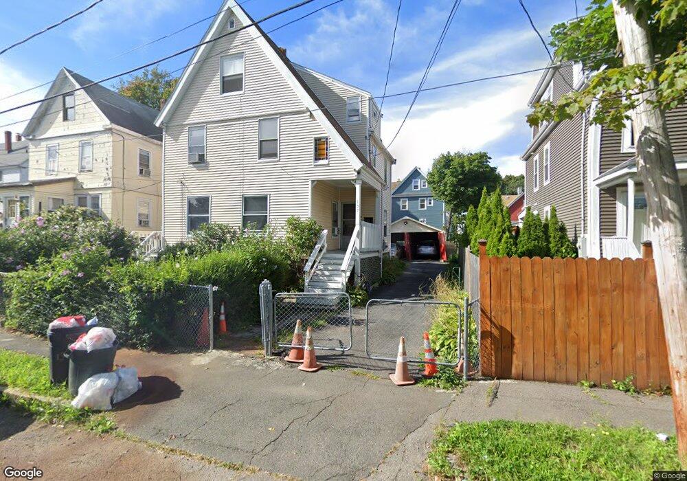
137 Arlington St Quincy, MA 02170
Wollaston NeighborhoodEstimated Value: $826,010 - $1,035,000
5
Beds
3
Baths
2,259
Sq Ft
$425/Sq Ft
Est. Value
About This Home
This home is located at 137 Arlington St, Quincy, MA 02170 and is currently estimated at $959,253, approximately $424 per square foot. 137 Arlington St is a home located in Norfolk County with nearby schools including Montclair Elementary School, Atlantic Middle School, and North Quincy High School.
Ownership History
Date
Name
Owned For
Owner Type
Purchase Details
Closed on
Aug 8, 1991
Sold by
Church Edward H and Church Jennifer L
Bought by
Bai Yong
Current Estimated Value
Home Financials for this Owner
Home Financials are based on the most recent Mortgage that was taken out on this home.
Original Mortgage
$46,000
Interest Rate
9.58%
Mortgage Type
Purchase Money Mortgage
Create a Home Valuation Report for This Property
The Home Valuation Report is an in-depth analysis detailing your home's value as well as a comparison with similar homes in the area
Home Values in the Area
Average Home Value in this Area
Purchase History
| Date | Buyer | Sale Price | Title Company |
|---|---|---|---|
| Bai Yong | $118,000 | -- |
Source: Public Records
Mortgage History
| Date | Status | Borrower | Loan Amount |
|---|---|---|---|
| Closed | Bai Yong | $46,000 | |
| Previous Owner | Bai Yong | $25,000 |
Source: Public Records
Tax History Compared to Growth
Tax History
| Year | Tax Paid | Tax Assessment Tax Assessment Total Assessment is a certain percentage of the fair market value that is determined by local assessors to be the total taxable value of land and additions on the property. | Land | Improvement |
|---|---|---|---|---|
| 2025 | $8,277 | $717,900 | $308,400 | $409,500 |
| 2024 | $8,095 | $718,300 | $308,400 | $409,900 |
| 2023 | $7,831 | $703,600 | $293,700 | $409,900 |
| 2022 | $8,158 | $681,000 | $255,400 | $425,600 |
| 2021 | $7,014 | $577,800 | $243,300 | $334,500 |
| 2020 | $7,177 | $577,400 | $243,300 | $334,100 |
| 2019 | $6,704 | $534,200 | $227,300 | $306,900 |
| 2018 | $6,753 | $506,200 | $210,500 | $295,700 |
| 2017 | $6,331 | $446,800 | $200,500 | $246,300 |
| 2016 | $5,625 | $391,700 | $174,300 | $217,400 |
| 2015 | $5,447 | $373,100 | $158,500 | $214,600 |
| 2014 | $5,176 | $348,300 | $150,900 | $197,400 |
Source: Public Records
Map
Nearby Homes
- 143 Arlington St
- 204 Farrington St
- 21 Linden St Unit 417
- 511 Hancock St Unit 207
- 522 Hancock St
- 129 Beale St
- 43 Ellington Rd
- 39 Fayette St Unit 102
- 276 Belmont St
- 22 Beach St
- 101 Beach St
- 115 W Squantum St Unit 810
- 115 W Squantum St Unit 907
- 111 Warren Ave Unit 1F
- 55 Warren Ave
- 260 Elmwood Ave
- 129 Grand View Ave
- 65 - 67 Davis St
- 22 Newton Ave
- 237 Billings Rd
- 139 Arlington St Unit 139
- 129 Arlington St
- 135 Arlington St
- 200 Fayette St
- 200 Fayette St Unit 2
- 206 Fayette St
- 206 Fayette St Unit 2
- 202 Fayette St Unit 202
- 125 Arlington St
- 25 N Central Ave Unit 2
- 25 N Central Ave Unit 25
- 25 N Central Ave Unit 1
- 25 N Central Ave
- 204 Fayette St Unit 204
- 204 Fayette St Unit 1
- 204 Fayette St
- 19 N Central Ave
- 23 N Central Ave
- 23 N Central Ave Unit 23
- 144 Arlington St