137 Armstrong Ave Methuen, MA 01844
The East End NeighborhoodEstimated Value: $485,000 - $529,000
3
Beds
3
Baths
1,900
Sq Ft
$266/Sq Ft
Est. Value
About This Home
This home is located at 137 Armstrong Ave, Methuen, MA 01844 and is currently estimated at $505,639, approximately $266 per square foot. 137 Armstrong Ave is a home located in Essex County with nearby schools including Timony Grammar School, South Point Elementary School, and Methuen High School.
Ownership History
Date
Name
Owned For
Owner Type
Purchase Details
Closed on
May 27, 2008
Sold by
Jeffco Inc
Bought by
Rivera William M and Rivera Justin L
Current Estimated Value
Home Financials for this Owner
Home Financials are based on the most recent Mortgage that was taken out on this home.
Original Mortgage
$261,620
Outstanding Balance
$166,934
Interest Rate
5.94%
Mortgage Type
Purchase Money Mortgage
Estimated Equity
$338,705
Purchase Details
Closed on
May 30, 2007
Sold by
Meadows Dev Llc
Bought by
Jeffco Inc
Home Financials for this Owner
Home Financials are based on the most recent Mortgage that was taken out on this home.
Original Mortgage
$1,055,700
Interest Rate
6.24%
Mortgage Type
Purchase Money Mortgage
Create a Home Valuation Report for This Property
The Home Valuation Report is an in-depth analysis detailing your home's value as well as a comparison with similar homes in the area
Home Values in the Area
Average Home Value in this Area
Purchase History
| Date | Buyer | Sale Price | Title Company |
|---|---|---|---|
| Rivera William M | $275,400 | -- | |
| Jeffco Inc | $600,000 | -- |
Source: Public Records
Mortgage History
| Date | Status | Borrower | Loan Amount |
|---|---|---|---|
| Open | Rivera William M | $261,620 | |
| Previous Owner | Jeffco Inc | $1,055,700 |
Source: Public Records
Tax History Compared to Growth
Tax History
| Year | Tax Paid | Tax Assessment Tax Assessment Total Assessment is a certain percentage of the fair market value that is determined by local assessors to be the total taxable value of land and additions on the property. | Land | Improvement |
|---|---|---|---|---|
| 2025 | $4,182 | $395,300 | $0 | $395,300 |
| 2024 | $3,899 | $359,000 | $0 | $359,000 |
| 2023 | $3,999 | $341,800 | $0 | $341,800 |
| 2022 | $4,427 | $339,200 | $0 | $339,200 |
| 2021 | $4,032 | $305,700 | $0 | $305,700 |
| 2020 | $3,856 | $286,900 | $0 | $286,900 |
| 2019 | $4,043 | $284,900 | $0 | $284,900 |
| 2018 | $4,107 | $287,800 | $0 | $287,800 |
| 2017 | $3,466 | $236,600 | $0 | $236,600 |
| 2016 | $3,369 | $227,500 | $0 | $227,500 |
| 2015 | $3,193 | $218,700 | $0 | $218,700 |
Source: Public Records
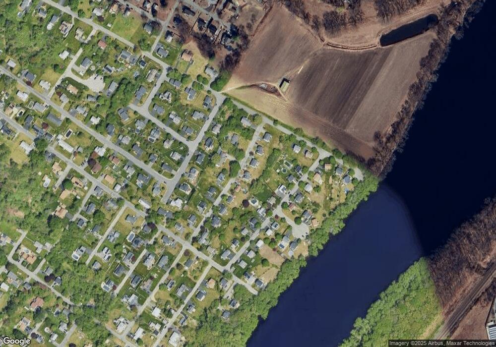
Map
Nearby Homes
- 49 Golf Ave
- 2 Goodrich Ave
- 29 Wallace St
- 17 Ferry Rd
- 86 Comet Rd
- 6 Aberdeen Rd
- 115 Merrimack Rd
- 23 Constitution Way Unit 23
- 23 Constitution Way
- 95 Pilgrim Cir Unit 95
- 1 Riverview Blvd Unit 3-8
- 1 Riverview Blvd Unit 2-203
- 3 Thissell St
- 128 Bradford St
- 369 Farrwood Dr
- 414 Farrwood Dr Unit 414
- 27 Russell Farm Dr
- 68 Sterling Ln
- 29 Meadowbrook Rd
- 5 Weisner Pkwy
- 135 Armstrong Ave Unit 137
- 135 Armstrong Ave
- 135 Armstrong Ave Unit 135
- 131 Armstrong Ave
- 139 Armstrong Ave
- 141 Armstrong Ave
- 124 Armstrong Ave
- 122 Armstrong Ave
- 127 Armstrong Ave
- 143 Armstrong Ave
- 145 Armstrong Ave
- 145 Armstrong Ave Unit 145
- 145 Armstrong Ave Unit A
- 12 Rivers Edge Place
- 14 Rivers Edge Place
- 10 Rivers Edge Place
- 126 Armstrong Ave
- 16 Rivers Edge Place
- 120 Armstrong Ave
- 2-209 Riverview Unit 209 2