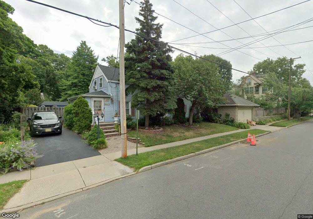
137 Beers St Keyport, NJ 07735
Estimated Value: $437,190 - $526,000
3
Beds
1
Bath
1,242
Sq Ft
$393/Sq Ft
Est. Value
About This Home
This home is located at 137 Beers St, Keyport, NJ 07735 and is currently estimated at $488,298, approximately $393 per square foot. 137 Beers St is a home located in Monmouth County with nearby schools including Keyport Central School, Keyport High School, and Icob Academy.
Ownership History
Date
Name
Owned For
Owner Type
Purchase Details
Closed on
Jul 6, 2004
Sold by
Demarco Daniel
Bought by
Power Gerard and Kerr Michael
Current Estimated Value
Purchase Details
Closed on
Oct 24, 2000
Sold by
Colalillo Michael
Bought by
Demarco Daniel and Demarco Nancy
Home Financials for this Owner
Home Financials are based on the most recent Mortgage that was taken out on this home.
Original Mortgage
$98,900
Interest Rate
7.83%
Purchase Details
Closed on
Apr 12, 1995
Sold by
Knekszer Carol
Bought by
Rabels Joan
Home Financials for this Owner
Home Financials are based on the most recent Mortgage that was taken out on this home.
Original Mortgage
$72,000
Interest Rate
8.55%
Create a Home Valuation Report for This Property
The Home Valuation Report is an in-depth analysis detailing your home's value as well as a comparison with similar homes in the area
Home Values in the Area
Average Home Value in this Area
Purchase History
| Date | Buyer | Sale Price | Title Company |
|---|---|---|---|
| Power Gerard | $242,000 | -- | |
| Demarco Daniel | $128,900 | -- | |
| Rabels Joan | $76,000 | -- |
Source: Public Records
Mortgage History
| Date | Status | Borrower | Loan Amount |
|---|---|---|---|
| Previous Owner | Demarco Daniel | $98,900 | |
| Previous Owner | Rabels Joan | $72,000 |
Source: Public Records
Tax History
| Year | Tax Paid | Tax Assessment Tax Assessment Total Assessment is a certain percentage of the fair market value that is determined by local assessors to be the total taxable value of land and additions on the property. | Land | Improvement |
|---|---|---|---|---|
| 2025 | $7,007 | $376,500 | $211,700 | $164,800 |
| 2024 | $6,884 | $338,500 | $181,800 | $156,700 |
Source: Public Records
Map
Nearby Homes
- 9 Kearney St Unit A
- 2 Chingarora Ave
- 226 Osborn St
- 95 Broadway
- 75 Broad St
- 155 Luppatatong Ave
- 104 Church St
- 9 Hurley St
- 87 Church St
- 253 Broadway
- 40 Church St
- 55 E Front St
- 231 Atlantic St Unit 23
- 231 Atlantic St Unit 83
- 72 1st St
- 55 1st St Unit 2
- 6 Octavia Place
- 52 Highway 35
- 72 Manchester Ave
- 74 Manchester Ave
- 100 Elizabeth St
- 98 Elizabeth St
- 103 Maple Place
- 88 Elizabeth St
- 88 Elizabeth St Unit B
- 95 Maple Place
- 120 Beers St
- 118 Beers St
- 130 Beers St
- 112 Beers St
- 87 Maple Place
- 107 Maple Place
- 83 Maple Place
- 80 Elizabeth St
- 95 Elizabeth St
- 114 Beers St
- 115 Maple Place
- 1 Oyster Creek Dr
- 68 Elizabeth St
- 74 Elizabeth St
Your Personal Tour Guide
Ask me questions while you tour the home.