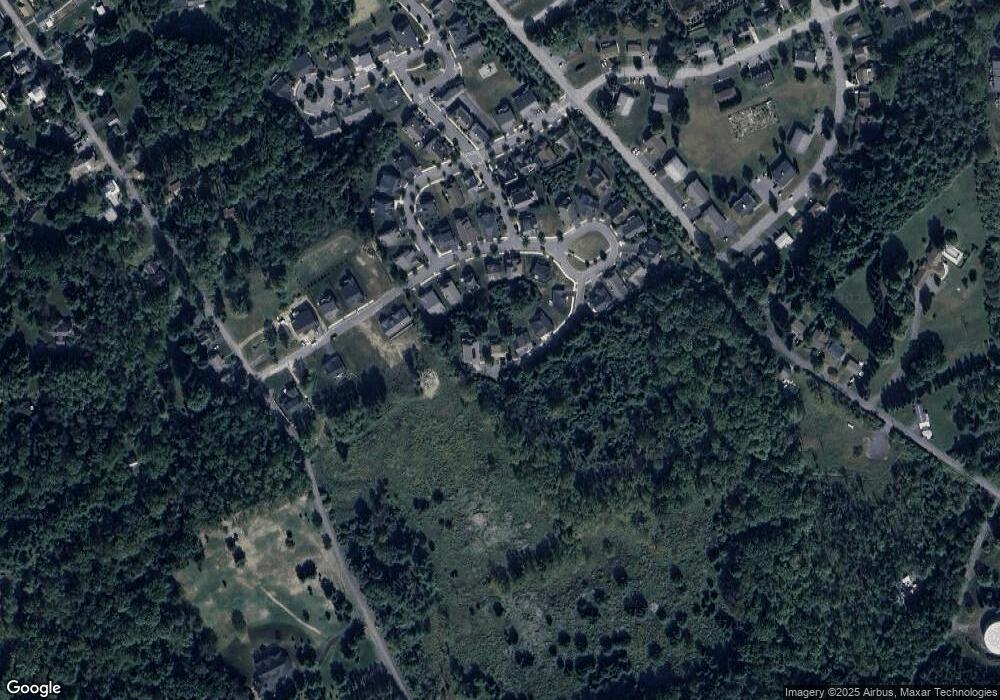
137 Brisbin Way Unit 45 Boalsburg, PA 16827
Estimated Value: $488,740 - $552,000
3
Beds
3
Baths
2,242
Sq Ft
$234/Sq Ft
Est. Value
About This Home
This home is located at 137 Brisbin Way Unit 45, Boalsburg, PA 16827 and is currently estimated at $525,185, approximately $234 per square foot. 137 Brisbin Way Unit 45 is a home located in Centre County with nearby schools including Mount Nittany Elementary School, Mount Nittany Middle School, and State College Area High School.
Ownership History
Date
Name
Owned For
Owner Type
Purchase Details
Closed on
May 26, 2021
Sold by
Vanogtrop Connie J and Vanogtrop Van Ogtrop
Bought by
Paula S Takei Trust
Current Estimated Value
Purchase Details
Closed on
Feb 16, 2010
Sold by
Gtw Associates
Bought by
Neyhart Robert J and Neyhart Patricia M
Home Financials for this Owner
Home Financials are based on the most recent Mortgage that was taken out on this home.
Original Mortgage
$243,500
Interest Rate
5.17%
Mortgage Type
Construction
Create a Home Valuation Report for This Property
The Home Valuation Report is an in-depth analysis detailing your home's value as well as a comparison with similar homes in the area
Home Values in the Area
Average Home Value in this Area
Purchase History
| Date | Buyer | Sale Price | Title Company |
|---|---|---|---|
| Paula S Takei Trust | $437,000 | None Available | |
| Neyhart Robert J | $99,000 | None Available |
Source: Public Records
Mortgage History
| Date | Status | Borrower | Loan Amount |
|---|---|---|---|
| Previous Owner | Neyhart Robert J | $243,500 |
Source: Public Records
Tax History Compared to Growth
Tax History
| Year | Tax Paid | Tax Assessment Tax Assessment Total Assessment is a certain percentage of the fair market value that is determined by local assessors to be the total taxable value of land and additions on the property. | Land | Improvement |
|---|---|---|---|---|
| 2025 | $6,092 | $90,970 | $8,005 | $82,965 |
| 2024 | $5,530 | $90,970 | $8,005 | $82,965 |
| 2023 | $5,530 | $90,970 | $8,005 | $82,965 |
| 2022 | $5,388 | $90,970 | $8,005 | $82,965 |
| 2021 | $5,388 | $90,970 | $8,005 | $82,965 |
| 2020 | $5,388 | $90,970 | $8,005 | $82,965 |
| 2019 | $5,279 | $90,970 | $8,005 | $82,965 |
| 2018 | $5,211 | $90,970 | $8,005 | $82,965 |
| 2017 | $5,159 | $90,970 | $8,005 | $82,965 |
| 2016 | -- | $90,970 | $8,005 | $82,965 |
| 2014 | -- | $13,275 | $13,275 | $0 |
Source: Public Records
Map
Nearby Homes
- 146 Emma Ct
- 75 Emma Ct
- 254 Kestrel Ln
- 190 Kestrel Ln
- 716 Brookside Dr
- 727 Boal Ave
- 123 Founders Ct
- 328 Lamp Post Ln
- 135 Indian Hill Rd
- 530 W Main St
- 655 Montclair Ln
- 608 Lynnwood Dr
- 531 Kennard Rd
- Lot 1 Andrea Way
- 663 Montclair Ln
- 664 Montclair Ln
- 656 Montclair Ln
- 661 Montclair Ln
- Lot #5 Linden Hall Rd
- Lot #3 Linden Hall Rd
- 137 Brisbin Way
- 127 Brisbin Way Unit 44
- 147 Brisbin Way
- 117 Brisbin Way
- Lot 46 Brisbin Way
- Lot# 51 Brisbin Way
- ON Brisbin Way
- 107 Brisbin Way
- 114 Emma Ct
- 108 Emma Ct
- 94 Emma Ct
- 124 Emma Ct
- 98 Emma Ct
- 72 Emma Ct
- Lot 1 Hawk Ridge
- 140 Emma Ct
- Lot 34 Emma Ct
- Lot# 59 Emma Ct
- Lot# 52 Emma Ct
- Lot 62 Emma Ct
