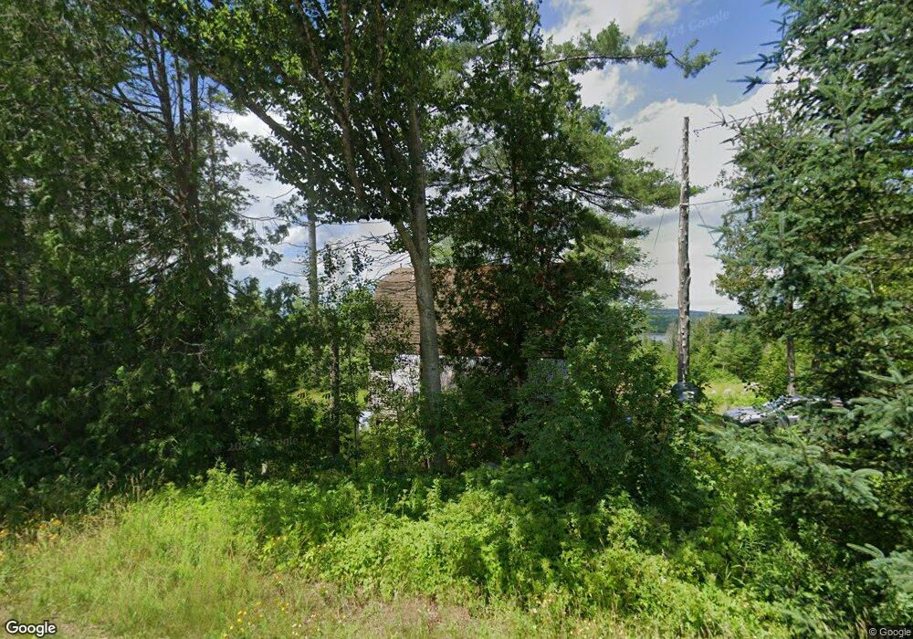
137 Brock Rd Searsport, ME 04974
Estimated Value: $303,000 - $363,000
--
Bed
--
Bath
--
Sq Ft
10.3
Acres
About This Home
This home is located at 137 Brock Rd, Searsport, ME 04974 and is currently estimated at $332,535. 137 Brock Rd is a home.
Create a Home Valuation Report for This Property
The Home Valuation Report is an in-depth analysis detailing your home's value as well as a comparison with similar homes in the area
Home Values in the Area
Average Home Value in this Area
Tax History Compared to Growth
Tax History
| Year | Tax Paid | Tax Assessment Tax Assessment Total Assessment is a certain percentage of the fair market value that is determined by local assessors to be the total taxable value of land and additions on the property. | Land | Improvement |
|---|---|---|---|---|
| 2024 | $4,830 | $210,900 | $38,500 | $172,400 |
| 2023 | $4,260 | $210,900 | $38,500 | $172,400 |
| 2022 | $4,070 | $210,900 | $38,500 | $172,400 |
| 2021 | $3,986 | $210,900 | $38,500 | $172,400 |
| 2020 | $3,944 | $210,900 | $38,500 | $172,400 |
| 2019 | $3,902 | $210,900 | $38,500 | $172,400 |
| 2018 | $3,902 | $210,900 | $38,500 | $172,400 |
| 2017 | $3,543 | $146,400 | $21,900 | $124,500 |
| 2016 | $3,499 | $146,400 | $21,900 | $124,500 |
| 2015 | $3,470 | $146,400 | $21,900 | $124,500 |
| 2014 | $3,323 | $146,400 | $21,900 | $124,500 |
| 2013 | $3,148 | $146,400 | $21,900 | $124,500 |
Source: Public Records
Map
Nearby Homes
- 73 Heritage Dr
- Lot 69 Campground Rd
- 4 Bowen Rd
- 177 Mount Ephraim Rd
- 468 Curtis Rd
- 00 Back Searsport Rd
- 461 Curtis Rd
- 3 Mossy Ridge Rd
- 395 Mount Ephraim Rd
- 235 Swan Lake Ave
- 6 Otis St
- 21 Knox Bros Ave
- M3L28-A Savery Rd
- M5 L33-2 Curtis Rd
- 10 Mosman St
- 37 & 39 E Main St
- 10 Serenity Ln
- 15 Norris St
- 00 Elm St
- 41 Sandy Ridge Ln