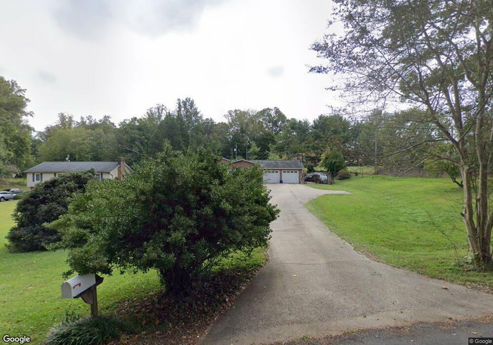
137 Burnley Ln Mount Airy, NC 27030
Estimated Value: $272,000 - $348,000
3
Beds
2
Baths
1,624
Sq Ft
$193/Sq Ft
Est. Value
About This Home
This home is located at 137 Burnley Ln, Mount Airy, NC 27030 and is currently estimated at $312,850, approximately $192 per square foot. 137 Burnley Ln is a home located in Surry County with nearby schools including Bruce H. Tharrington Elementary School, Mount Airy Middle School, and Mount Airy High School.
Ownership History
Date
Name
Owned For
Owner Type
Purchase Details
Closed on
Aug 1, 1986
Current Estimated Value
Purchase Details
Closed on
Feb 1, 1982
Create a Home Valuation Report for This Property
The Home Valuation Report is an in-depth analysis detailing your home's value as well as a comparison with similar homes in the area
Home Values in the Area
Average Home Value in this Area
Purchase History
| Date | Buyer | Sale Price | Title Company |
|---|---|---|---|
| -- | $38,500 | -- | |
| -- | $35,500 | -- |
Source: Public Records
Tax History Compared to Growth
Tax History
| Year | Tax Paid | Tax Assessment Tax Assessment Total Assessment is a certain percentage of the fair market value that is determined by local assessors to be the total taxable value of land and additions on the property. | Land | Improvement |
|---|---|---|---|---|
| 2025 | $1,386 | $205,880 | $16,200 | $189,680 |
| 2024 | $1,247 | $163,750 | $12,600 | $151,150 |
| 2023 | $1,231 | $163,750 | $12,600 | $151,150 |
| 2022 | $1,207 | $163,750 | $12,600 | $151,150 |
| 2021 | $1,219 | $163,750 | $12,600 | $151,150 |
| 2020 | $1,125 | $142,970 | $12,600 | $130,370 |
| 2019 | $1,036 | $142,970 | $0 | $0 |
| 2018 | $1,019 | $142,970 | $0 | $0 |
| 2017 | $1,033 | $142,970 | $0 | $0 |
| 2016 | $1,018 | $142,970 | $0 | $0 |
| 2013 | -- | $119,050 | $0 | $0 |
Source: Public Records
Map
Nearby Homes
- 1610 E Wensley Dr
- 1513 Pittman St
- 1023 Spring St
- .58 Newsome St
- 226 Hamburg St
- 1122 Viewland Ave
- 802 Spring St
- TBD S Andy Griffith Pkwy
- 00 S Andy Griffith Pkwy
- 01 Farmbrook Rd
- 000000 Farmbrook Rd
- 00000 Farmbrook Rd
- 02 Farmbrook Rd
- 00 Farmbrook Rd
- 00 Hillcrest Dr
- 220 Broad St
- 214 Broad St
- 704 E Haymore St
- 722 Maiden Ln
- Tbd Farmbrook Rd
- 133 Burnley Ln
- 00 Burnley Ln
- Par #8702 Burnley Ln
- Par #6902 Burnley Ln
- 1529 W Wensley Dr
- 1525 W Wensley Dr Unit DRW
- 1533 W Wensley Dr Unit DRW
- 129 Burnley Ln
- 1537 W Wensley Dr Unit DRW
- 144 Burnley Ln
- 132 Burnley Ln
- 117 Burnley Ln
- 128 Burnley Ln
- 148 Burnley Ln
- 1526 W Wensley Dr Unit DRW
- 113 Burnley Ln
- 104 Vernon Cir
- 1532 W Wensley Dr Unit DRW
- 1536 W Wensley Dr Unit DRW
- 120 Burnley Ln