137 Captain Lowman Rd Chapin, SC 29036
Estimated Value: $894,000 - $1,102,000
4
Beds
4
Baths
4,229
Sq Ft
$230/Sq Ft
Est. Value
About This Home
This home is located at 137 Captain Lowman Rd, Chapin, SC 29036 and is currently estimated at $974,348, approximately $230 per square foot. 137 Captain Lowman Rd is a home located in Richland County with nearby schools including Lake Murray Elementary School, Chapin Intermediate, and Chapin High School.
Ownership History
Date
Name
Owned For
Owner Type
Purchase Details
Closed on
Feb 16, 2010
Sold by
Regions Bank
Bought by
Drye Randall G and Drye Elizabeth S
Current Estimated Value
Home Financials for this Owner
Home Financials are based on the most recent Mortgage that was taken out on this home.
Original Mortgage
$368,000
Outstanding Balance
$244,041
Interest Rate
5.07%
Mortgage Type
New Conventional
Estimated Equity
$730,307
Purchase Details
Closed on
Aug 28, 2009
Sold by
Reeves George David and Mclemore Don L
Bought by
Regions Bank and Regions Mortgage
Purchase Details
Closed on
Jan 28, 2005
Sold by
Stonegate Properties Inc
Bought by
Reeves George David
Home Financials for this Owner
Home Financials are based on the most recent Mortgage that was taken out on this home.
Original Mortgage
$494,000
Interest Rate
5.37%
Mortgage Type
Purchase Money Mortgage
Purchase Details
Closed on
Jan 24, 2005
Sold by
Reeves George David
Bought by
Mclemore Don L
Home Financials for this Owner
Home Financials are based on the most recent Mortgage that was taken out on this home.
Original Mortgage
$494,000
Interest Rate
5.37%
Mortgage Type
Purchase Money Mortgage
Purchase Details
Closed on
Oct 18, 2004
Sold by
Stevenson Ronald R and Stevenson Harriett B
Bought by
Stonegate Properties Inc
Home Financials for this Owner
Home Financials are based on the most recent Mortgage that was taken out on this home.
Original Mortgage
$385,109
Interest Rate
5.71%
Mortgage Type
Purchase Money Mortgage
Purchase Details
Closed on
Aug 4, 1999
Sold by
Harmon Russell A
Bought by
Stevenson Ronald R and Stevenson Harriett B
Home Financials for this Owner
Home Financials are based on the most recent Mortgage that was taken out on this home.
Original Mortgage
$378,750
Interest Rate
7.66%
Create a Home Valuation Report for This Property
The Home Valuation Report is an in-depth analysis detailing your home's value as well as a comparison with similar homes in the area
Home Values in the Area
Average Home Value in this Area
Purchase History
| Date | Buyer | Sale Price | Title Company |
|---|---|---|---|
| Drye Randall G | $460,000 | -- | |
| Regions Bank | $543,971 | -- | |
| Reeves George David | $520,000 | -- | |
| Mclemore Don L | $585,000 | -- | |
| Stonegate Properties Inc | $380,000 | -- | |
| Stevenson Ronald R | $450,000 | -- |
Source: Public Records
Mortgage History
| Date | Status | Borrower | Loan Amount |
|---|---|---|---|
| Open | Drye Randall G | $368,000 | |
| Previous Owner | Reeves George David | $494,000 | |
| Previous Owner | Mclemore Don L | $493,000 | |
| Previous Owner | Stonegate Properties Inc | $385,109 | |
| Previous Owner | Stevenson Ronald R | $378,750 |
Source: Public Records
Tax History
| Year | Tax Paid | Tax Assessment Tax Assessment Total Assessment is a certain percentage of the fair market value that is determined by local assessors to be the total taxable value of land and additions on the property. | Land | Improvement |
|---|---|---|---|---|
| 2024 | $4,976 | $638,600 | $0 | $0 |
| 2023 | $4,781 | $22,212 | $0 | $0 |
| 2022 | $4,125 | $555,300 | $206,500 | $348,800 |
| 2021 | $4,207 | $22,210 | $0 | $0 |
| 2020 | $4,421 | $22,210 | $0 | $0 |
| 2019 | $4,437 | $22,210 | $0 | $0 |
| 2018 | $3,463 | $19,320 | $0 | $0 |
| 2017 | $3,365 | $19,320 | $0 | $0 |
| 2016 | $3,347 | $19,320 | $0 | $0 |
| 2015 | $3,366 | $19,320 | $0 | $0 |
| 2014 | $3,357 | $482,900 | $0 | $0 |
| 2013 | -- | $19,320 | $0 | $0 |
Source: Public Records
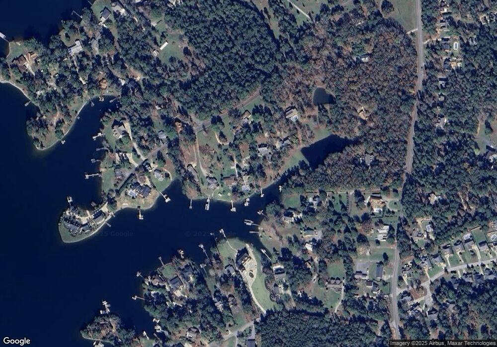
Map
Nearby Homes
- 0 Johnson Marina Rd Unit 539063
- 116 Currioman Dr
- 312 Lanyard Ln
- 1116 Silver Point Rd
- 1207 Silver Point Rd
- 756 Helmsman Ln
- 748 Moonsail Cir
- 769 Helmsman Ln
- 149 Lakeport Dr
- 822 Ruskin Dr
- 515 Malachite Ln
- 53 Starry Night Ct
- 1318 Portrait Hill Dr
- 175 Almofini Ln
- 155 Almofini Ln
- 705 Ruskin Dr
- 28 Starry Night Ct
- 301 Explorer Dr
- 310 Explorer Dr
- 371 Explorer Dr
- 127 Captain Lowman Rd
- 125 Captain Lowman Rd
- 131 Captain Lowman Rd
- 143 Captain Lowman Rd
- 123 Captain Lowman Rd
- 147 Captain Lowman Rd
- 1806 Johnson Marina Rd
- 151 Captain Lowman Rd
- 1722 Johnson Marina Rd
- 1001 Trillie Ln
- 161 Captain Lowman Rd
- 119 Captain Lowman Rd
- 1716 Johnson Marina Rd
- 154 Captain Lowman Rd
- 1712 Johnson Marina Rd
- 1800 Johnson Marina Rd
- 1007 Trillie Ln
- 1007 Trillie Ln Unit B
- 160 Captain Lowman Rd
- 1045 Ellett Rd
Your Personal Tour Guide
Ask me questions while you tour the home.