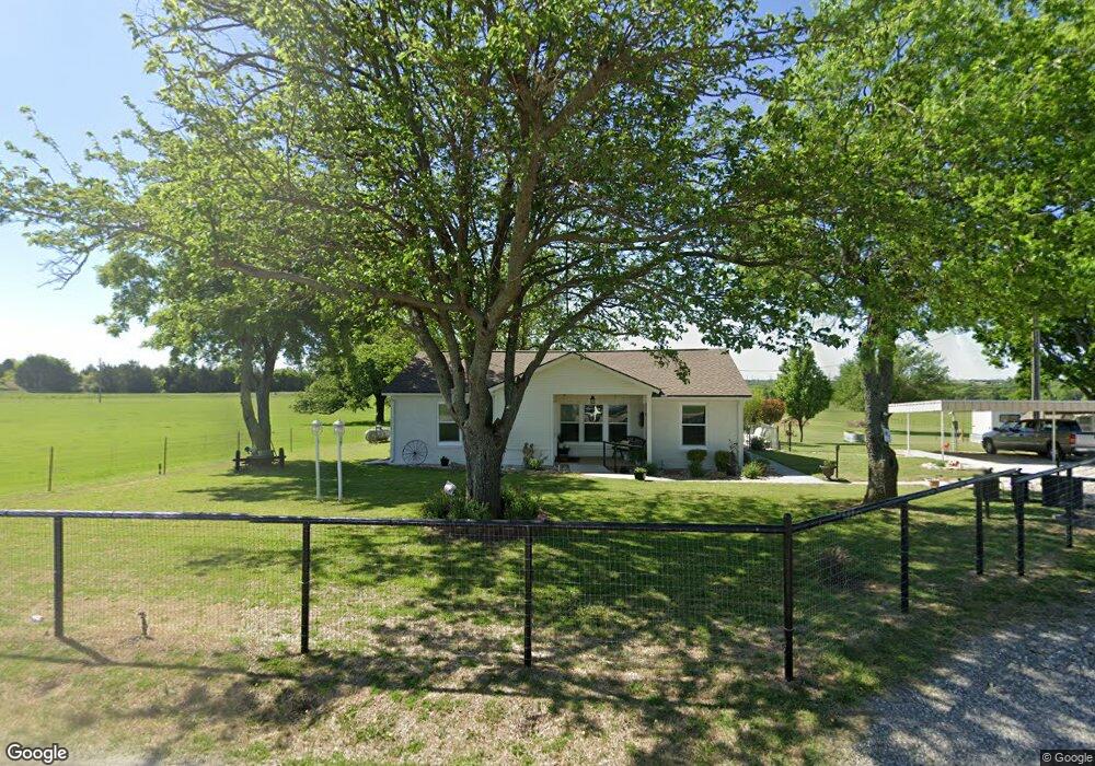
137 County Road 2175 Decatur, TX 76234
--
Bed
--
Bath
--
Sq Ft
13
Acres
About This Home
This home is located at 137 County Road 2175, Decatur, TX 76234. 137 County Road 2175 is a home located in Wise County with nearby schools including Decatur High School and Victory Christian Academy.
Ownership History
Date
Name
Owned For
Owner Type
Purchase Details
Closed on
Sep 24, 2024
Sold by
Doherty Family Living Trust and Doherty Earl Glenn
Bought by
4 Us Agribusiness Consulting Llc
Home Financials for this Owner
Home Financials are based on the most recent Mortgage that was taken out on this home.
Original Mortgage
$274,950
Outstanding Balance
$272,135
Interest Rate
6.49%
Mortgage Type
New Conventional
Purchase Details
Closed on
Dec 21, 2015
Sold by
Doherty Earl G and Doherty Barbara J
Bought by
Doherty Earl Glenn and Doherty Barbara Jo
Purchase Details
Closed on
Jan 1, 1901
Bought by
Doherty Family Living Trust
Create a Home Valuation Report for This Property
The Home Valuation Report is an in-depth analysis detailing your home's value as well as a comparison with similar homes in the area
Home Values in the Area
Average Home Value in this Area
Purchase History
| Date | Buyer | Sale Price | Title Company |
|---|---|---|---|
| 4 Us Agribusiness Consulting Llc | -- | Spiller Title | |
| Doherty Earl Glenn | -- | None Available | |
| Doherty Family Living Trust | -- | -- |
Source: Public Records
Mortgage History
| Date | Status | Borrower | Loan Amount |
|---|---|---|---|
| Open | 4 Us Agribusiness Consulting Llc | $274,950 |
Source: Public Records
Tax History Compared to Growth
Tax History
| Year | Tax Paid | Tax Assessment Tax Assessment Total Assessment is a certain percentage of the fair market value that is determined by local assessors to be the total taxable value of land and additions on the property. | Land | Improvement |
|---|---|---|---|---|
| 2025 | $173 | $14,303 | $1,170 | $13,133 |
| 2024 | $173 | $14,226 | $1,093 | $13,133 |
| 2023 | $149 | $12,342 | $0 | $0 |
| 2022 | $189 | $12,342 | $0 | $0 |
| 2021 | $96 | $139,890 | $135,020 | $4,870 |
| 2020 | $96 | $124,410 | $119,540 | $4,870 |
| 2019 | $103 | $124,470 | $119,540 | $4,930 |
| 2018 | $107 | $111,460 | $106,530 | $4,930 |
| 2017 | $108 | $92,000 | $87,020 | $4,980 |
| 2016 | $107 | $85,500 | $80,520 | $4,980 |
| 2015 | -- | $79,010 | $73,980 | $5,030 |
| 2014 | -- | $5,710 | $680 | $5,030 |
Source: Public Records
Map
Nearby Homes
- 362 Decatur Cemetery Rd
- 2270 County Road 2360
- 175 Quail Ridge Ct
- 165 Quail Ridge Ct
- Lot 12 Cedar Springs Estates
- 918 Old Decatur Rd
- 835 County Road 2175
- 3092 N Trinity St
- 2296 Old Decatur Rd
- 1952 Old Decatur Rd
- 188 Private Road 2356
- 2811 N Trinity St
- 205 Private Road 2202 Unit 2194
- 135 Private Road 2202
- 000 County Road 2360
- 150 Private Road 2202
- 136 Private Road 2202
- 166 Private Road 2202
- 279 Private Road 2202
- 237 Private Road 2202
- 137 County Road 2175
- Tract 3 County Road 2175
- 01 County Road 2175
- 02 County Road 2175
- 1502 County Road 2175
- 195 County Road 2175
- 573 N Fm 730
- 573 N Fm 730
- 573 N Fm 730 Unit 2
- 573 N Fm 730 Unit 1
- 573 Farm To Market Road 730 N
- 848 N Fm 730
- 848 N Fm 730
- 903 N Fm 730
- 903 N Fm 730
- 510 N Fm 730
- 510 N Fm 730
- 536 N Fm 730
- 204 Double Duty Dr Unit 730N
- 204 Double Duty Dr