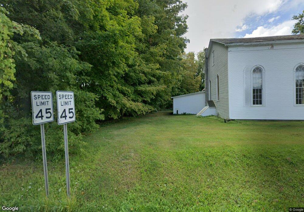
137 County Route 74 Buskirk, NY 12028
Estimated Value: $125,131 - $195,000
2
Beds
1
Bath
900
Sq Ft
$170/Sq Ft
Est. Value
About This Home
This home is located at 137 County Route 74, Buskirk, NY 12028 and is currently estimated at $153,033, approximately $170 per square foot. 137 County Route 74 is a home located in Washington County with nearby schools including Cambridge Elementary School and Cambridge Junior/Senior High School.
Ownership History
Date
Name
Owned For
Owner Type
Purchase Details
Closed on
Dec 17, 2021
Sold by
Herrington Tyler J and Matuszko Nicole A
Bought by
Quinn Tim and Quinn Luz
Current Estimated Value
Home Financials for this Owner
Home Financials are based on the most recent Mortgage that was taken out on this home.
Original Mortgage
$70,000
Outstanding Balance
$64,364
Interest Rate
3.09%
Mortgage Type
Purchase Money Mortgage
Estimated Equity
$88,669
Purchase Details
Closed on
Aug 30, 2013
Sold by
Herrington Donald
Bought by
Herrington Tyler
Home Financials for this Owner
Home Financials are based on the most recent Mortgage that was taken out on this home.
Original Mortgage
$76,312
Interest Rate
4.42%
Mortgage Type
New Conventional
Create a Home Valuation Report for This Property
The Home Valuation Report is an in-depth analysis detailing your home's value as well as a comparison with similar homes in the area
Home Values in the Area
Average Home Value in this Area
Purchase History
| Date | Buyer | Sale Price | Title Company |
|---|---|---|---|
| Quinn Tim | $87,500 | Commonwealth Land Title | |
| Herrington Tyler | $93,000 | Joel Peller |
Source: Public Records
Mortgage History
| Date | Status | Borrower | Loan Amount |
|---|---|---|---|
| Open | Quinn Tim | $70,000 | |
| Previous Owner | Herrington Tyler | $76,312 |
Source: Public Records
Tax History Compared to Growth
Tax History
| Year | Tax Paid | Tax Assessment Tax Assessment Total Assessment is a certain percentage of the fair market value that is determined by local assessors to be the total taxable value of land and additions on the property. | Land | Improvement |
|---|---|---|---|---|
| 2024 | $2,346 | $106,848 | $37,948 | $68,900 |
| 2023 | $2,337 | $100,800 | $35,800 | $65,000 |
| 2022 | $2,294 | $82,000 | $38,000 | $44,000 |
| 2021 | $2,420 | $82,000 | $38,000 | $44,000 |
| 2020 | $2,406 | $82,000 | $38,000 | $44,000 |
| 2019 | $2,355 | $82,000 | $38,000 | $44,000 |
| 2018 | $2,355 | $82,000 | $38,000 | $44,000 |
| 2017 | $2,357 | $82,000 | $38,000 | $44,000 |
| 2016 | $2,282 | $82,000 | $38,000 | $44,000 |
| 2015 | -- | $82,000 | $38,000 | $44,000 |
| 2014 | -- | $82,000 | $38,000 | $44,000 |
Source: Public Records
Map
Nearby Homes
- 753 Master St
- 96 Martindale Way
- 1084 SW County Route 74 Rd
- 701 County Route 74
- 3453 New York 67
- 139 Hunt Rd
- 2177 Buskirk West Hoosick Rd
- 173 Belle Rd
- 26 School St
- 2392 New York 67
- 16 Clum Rd
- 57 Ryan Gross Rd
- L10 Horton Rd
- L5 Stage Rd
- Tbd Ny-22
- 167 Oak Hill Rd
- L16.1&16.7 Valley Summit Rd
- 3909 New York 67
- 615 Longwoods Rd
- 2 Daun Ln
- 137 County Rt 74
- 124 County Route 74
- 105 County Route 74
- 977 S County Rt 74 S
- 97 County Route 74
- 14 Durfee Rd
- 97 County Route 74
- 32 Durfee Rd
- 92 County Route 74
- 42 Durfee Rd
- 768 Lees Crossing Rd
- 57 Durfee Rd
- 62 Durfee Rd
- 56 County Route 74
- 63 Durfee Rd
- 0 Durfee Rd
- 56 Johnsonville Rd
- 94 Durfee Rd
- 82 Durfee Rd
- 99 Durfee Rd
