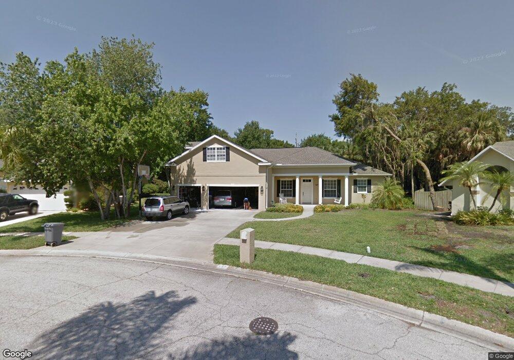
137 Cove Loop Dr Merritt Island, FL 32953
Estimated Value: $599,000 - $906,000
5
Beds
3
Baths
2,767
Sq Ft
$260/Sq Ft
Est. Value
About This Home
This home is located at 137 Cove Loop Dr, Merritt Island, FL 32953 and is currently estimated at $718,297, approximately $259 per square foot. 137 Cove Loop Dr is a home located in Brevard County with nearby schools including Lewis Carroll Elementary School, Thomas Jefferson Middle School, and Merritt Island High School.
Ownership History
Date
Name
Owned For
Owner Type
Purchase Details
Closed on
Jun 10, 2002
Sold by
Taylor Gregory F and Taylor Julie E
Bought by
Dunn Michael T and Dunn Julie B
Current Estimated Value
Purchase Details
Closed on
Feb 12, 2001
Sold by
Mcgurn Michael and Mcgurn Amy L
Bought by
Taylor Gregory F and Taylor Julie E
Home Financials for this Owner
Home Financials are based on the most recent Mortgage that was taken out on this home.
Original Mortgage
$31,920
Interest Rate
7.03%
Create a Home Valuation Report for This Property
The Home Valuation Report is an in-depth analysis detailing your home's value as well as a comparison with similar homes in the area
Home Values in the Area
Average Home Value in this Area
Purchase History
| Date | Buyer | Sale Price | Title Company |
|---|---|---|---|
| Dunn Michael T | $42,000 | -- | |
| Taylor Gregory F | $39,900 | -- |
Source: Public Records
Mortgage History
| Date | Status | Borrower | Loan Amount |
|---|---|---|---|
| Previous Owner | Taylor Gregory F | $31,920 |
Source: Public Records
Tax History Compared to Growth
Tax History
| Year | Tax Paid | Tax Assessment Tax Assessment Total Assessment is a certain percentage of the fair market value that is determined by local assessors to be the total taxable value of land and additions on the property. | Land | Improvement |
|---|---|---|---|---|
| 2025 | $3,611 | $279,400 | -- | -- |
| 2024 | $3,571 | $271,530 | -- | -- |
| 2023 | $3,571 | $263,630 | $0 | $0 |
| 2022 | $3,343 | $255,960 | $0 | $0 |
| 2021 | $3,481 | $248,510 | $0 | $0 |
| 2020 | $3,402 | $245,080 | $0 | $0 |
| 2019 | $3,355 | $239,570 | $0 | $0 |
| 2018 | $3,363 | $235,110 | $0 | $0 |
| 2017 | $3,394 | $230,280 | $0 | $0 |
| 2016 | $3,452 | $225,550 | $50,600 | $174,950 |
| 2015 | $3,553 | $223,990 | $50,600 | $173,390 |
| 2014 | $3,579 | $222,220 | $50,600 | $171,620 |
Source: Public Records
Map
Nearby Homes
- 178 Cove Loop Dr
- 15 Skyline Blvd
- 196 Sykes Loop Dr
- 2150 Topaz Ct
- 180 Florida Blvd
- 2275 Sykes Creek Dr
- 230 Willow Ave
- 2100 Leeward Ln
- 2135 N Courtenay Pkwy Unit 110
- 2135 N Courtenay Pkwy Unit 104
- 2135 N Courtenay Pkwy Unit 231
- 2135 N Courtenay Pkwy Unit 132
- 2025 Sykes Creek Dr
- 205 Hickory Ave
- 255 Birch Ave
- 2355 Sykes Creek Dr
- 285 Hickory Ave
- 1675 Vega Ave
- 191 Via de la Reina
- 2097 Hidden Grove Ln Unit 105
- 131 Cove Loop Dr
- 143 Cove Loop Dr
- 125 Cove Loop Dr
- 130 Cove Loop Dr
- 149 Cove Loop Dr
- 150 Cove Loop Dr
- 119 Cove Loop Dr
- 118 Cove Loop Dr
- 155 Cove Loop Dr
- 172 Cove Loop Dr
- 113 Cove Loop Dr
- 112 Cove Loop Dr
- 161 Cove Loop Dr
- 167 Cove Loop Dr
- 107 Cove Loop Dr
- 106 Cove Loop Dr
- 173 Cove Loop Dr
- 5 Skyline Blvd
- 184 Cove Loop Dr
- 101 Cove Loop Dr