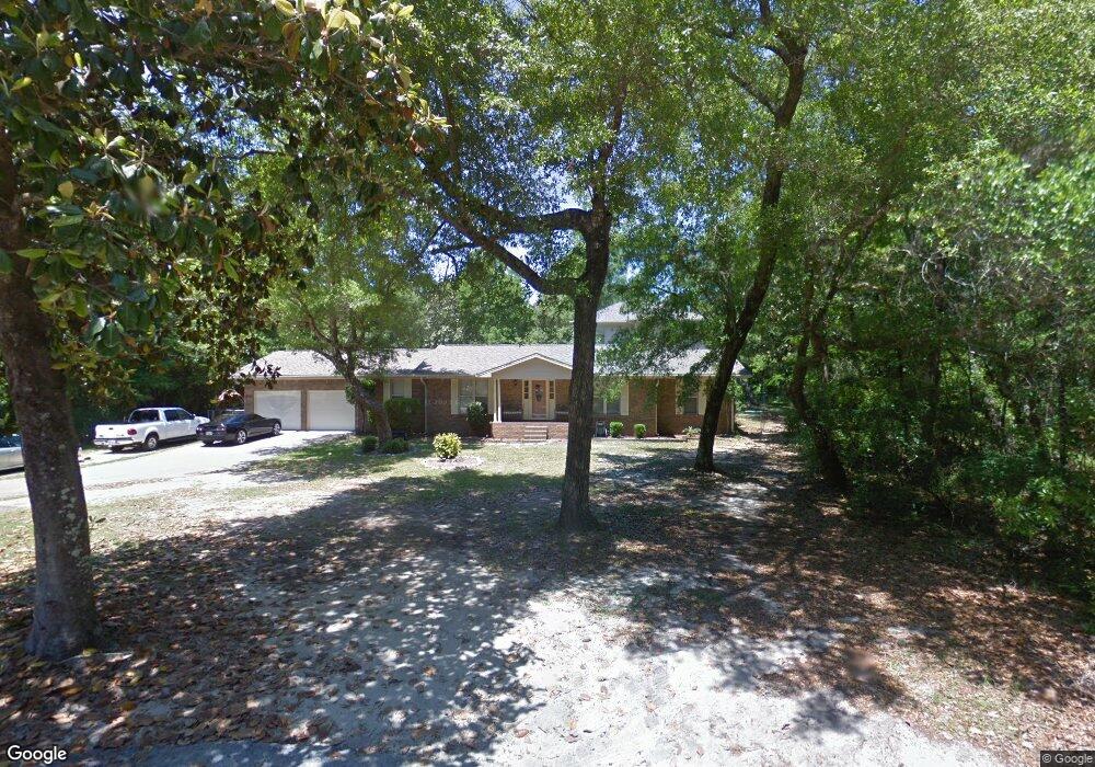
137 Darrell Ct Freeport, FL 32439
Estimated Value: $453,000 - $663,000
3
Beds
4
Baths
3,278
Sq Ft
$179/Sq Ft
Est. Value
About This Home
This home is located at 137 Darrell Ct, Freeport, FL 32439 and is currently estimated at $587,573, approximately $179 per square foot. 137 Darrell Ct is a home located in Walton County with nearby schools including Freeport Elementary School, Freeport Middle School, and Freeport Senior High School.
Ownership History
Date
Name
Owned For
Owner Type
Purchase Details
Closed on
Aug 10, 2004
Sold by
Joswick Frank E and Joswick Margie A
Bought by
Townsend Joseph D and Townsend Rachel M
Current Estimated Value
Home Financials for this Owner
Home Financials are based on the most recent Mortgage that was taken out on this home.
Original Mortgage
$158,320
Outstanding Balance
$73,475
Interest Rate
5.25%
Mortgage Type
Unknown
Estimated Equity
$514,098
Create a Home Valuation Report for This Property
The Home Valuation Report is an in-depth analysis detailing your home's value as well as a comparison with similar homes in the area
Home Values in the Area
Average Home Value in this Area
Purchase History
| Date | Buyer | Sale Price | Title Company |
|---|---|---|---|
| Townsend Joseph D | $197,900 | First Natl Land Title Co Inc |
Source: Public Records
Mortgage History
| Date | Status | Borrower | Loan Amount |
|---|---|---|---|
| Open | Townsend Joseph D | $158,320 | |
| Closed | Townsend Joseph D | $39,580 |
Source: Public Records
Tax History
| Year | Tax Paid | Tax Assessment Tax Assessment Total Assessment is a certain percentage of the fair market value that is determined by local assessors to be the total taxable value of land and additions on the property. | Land | Improvement |
|---|---|---|---|---|
| 2025 | $1,960 | $266,154 | -- | -- |
| 2024 | $1,854 | $258,653 | -- | -- |
| 2023 | $1,854 | $251,119 | $0 | $0 |
| 2022 | $1,839 | $243,805 | $0 | $0 |
| 2021 | $1,838 | $233,840 | $0 | $0 |
| 2020 | $1,870 | $230,611 | $50,811 | $179,800 |
| 2019 | $1,821 | $226,487 | $49,331 | $177,156 |
| 2018 | $1,796 | $222,857 | $0 | $0 |
| 2017 | $1,800 | $222,488 | $49,331 | $173,157 |
| 2016 | $1,791 | $219,537 | $0 | $0 |
| 2015 | $1,807 | $218,011 | $0 | $0 |
| 2014 | $1,855 | $220,059 | $0 | $0 |
Source: Public Records
Map
Nearby Homes
- 61 Spruce St
- 13000 State Highway 20 W
- Lots 1 & 2 Gum St
- 271 Willow Ave
- 191 Beech St
- 13636 Florida 20
- Lot 11 Live Oak St
- Lot 20 Satsuma Rd
- 14138 State Highway 20
- 14212 Fl-20
- 630 Satsuma Rd
- 14351 State Highway 20
- 676 Satsuma Rd
- Lot 9 Cedar Beach Cove
- 46 Winfield St
- 43 Indian Bay Dr
- 13 Magnolia St
- 106 Joseph Ave
- 108 Owen St
- 132 Owen St
Your Personal Tour Guide
Ask me questions while you tour the home.